
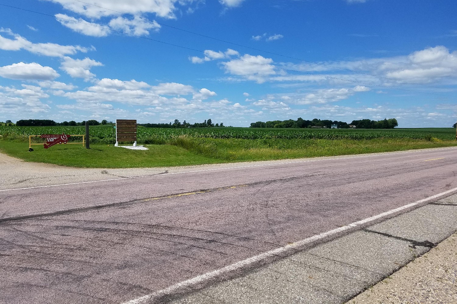
| Location | Driveway on east side of Steele County Hwy 30 (43rd Ave SW) 3000 feet south of Steele County Hwy 7 (Lemond Road) Across road from entrance to model air field. |
|
| Additional Notes |
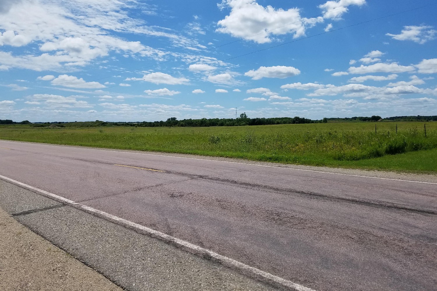
Access is wide, well graveled and easy to locate | 44° 01’ 33” N / 93° 17’ 08” W 44.025931, -93.285692 USNG: 15T VJ 77104 74792 |
| Exit Routes | North: Steele County Hwy 30 | East: Steele County Hwy 7 (1/2 mile north) | South: Steele County Hwy 30 | West: Steele County Hwy 7 (1/2 mile north) |
| Back to Map | Print pdf | |
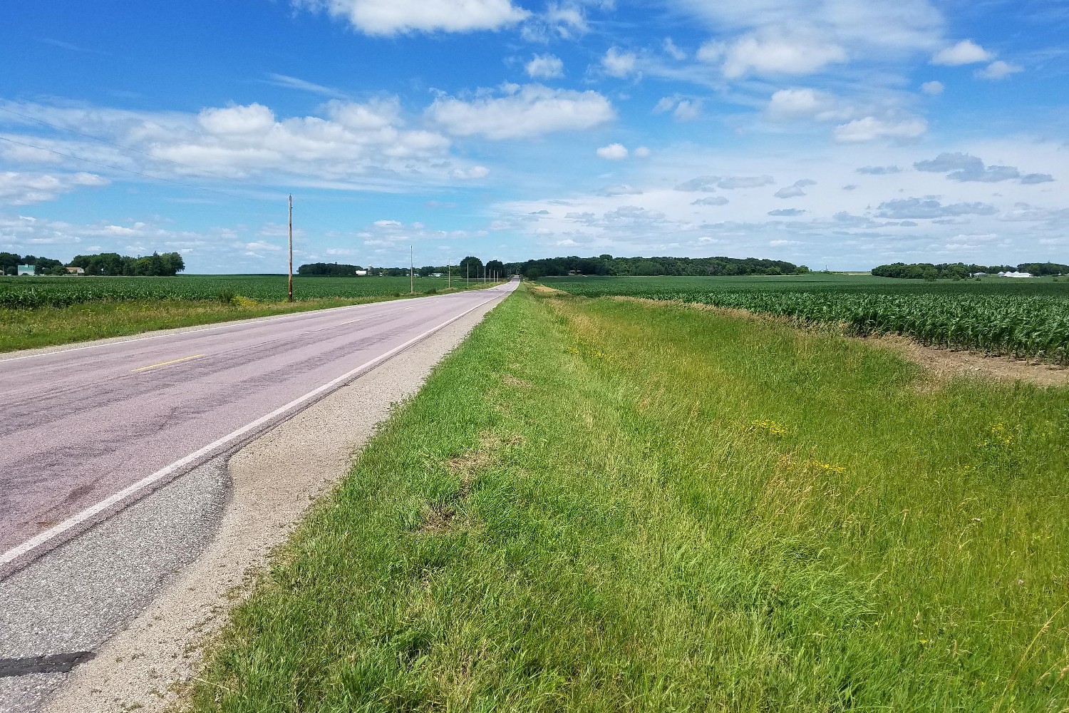
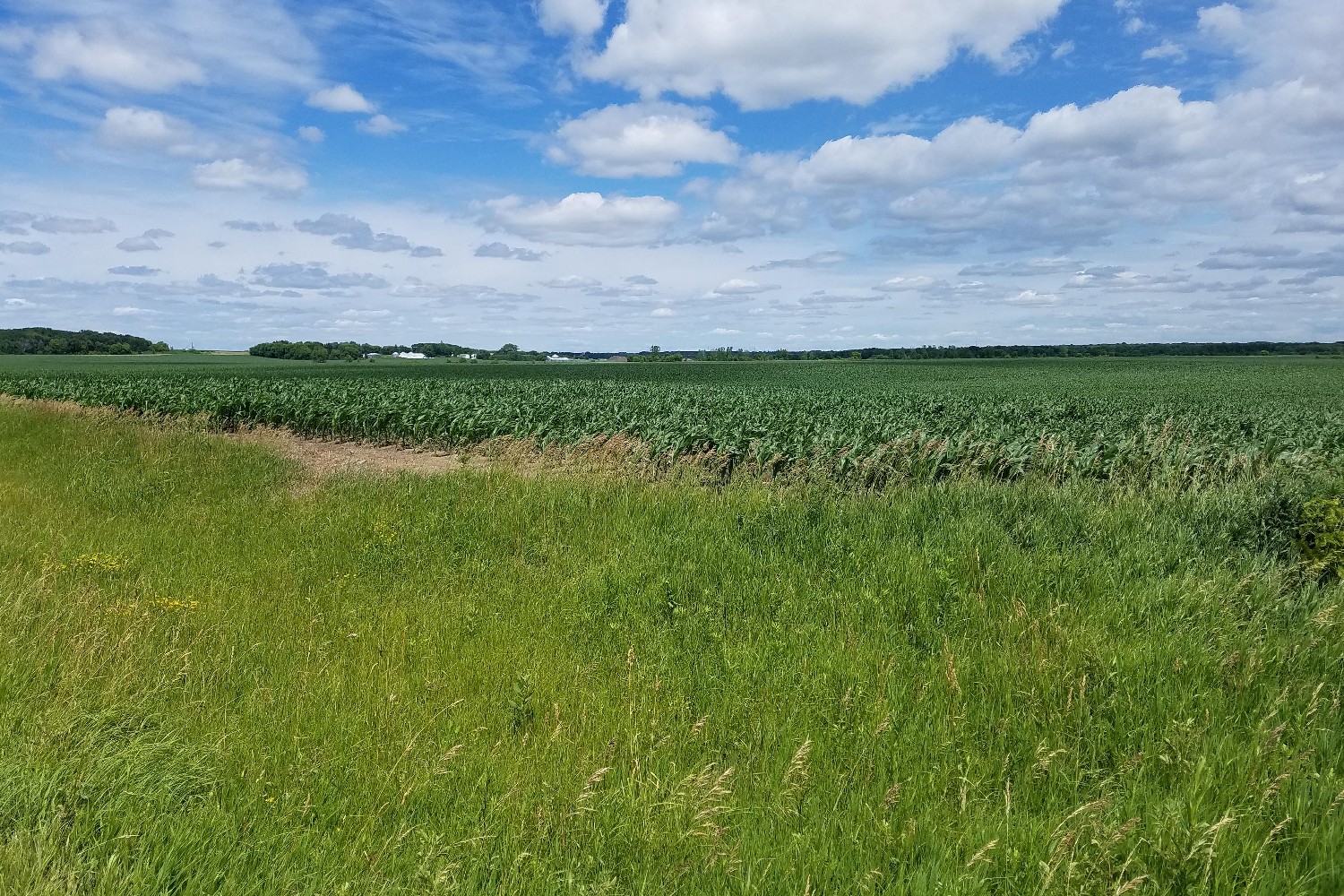
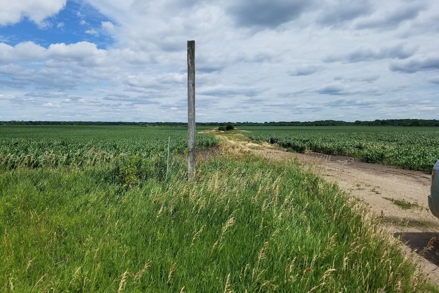
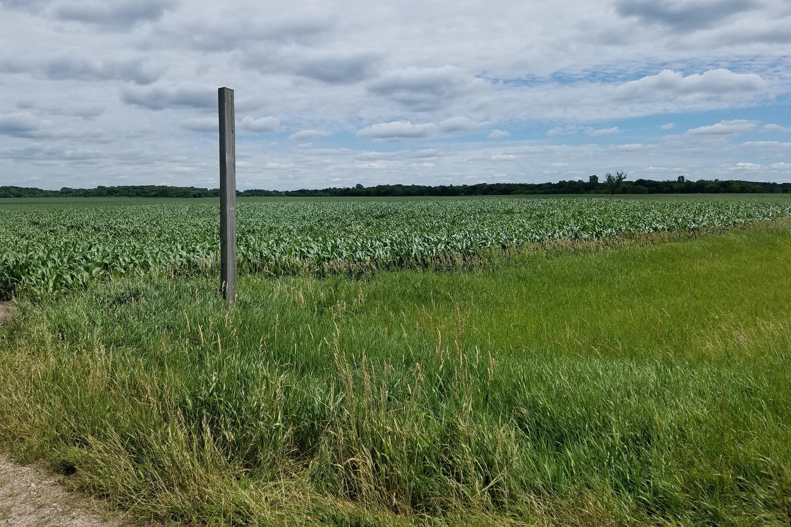
View Looking NW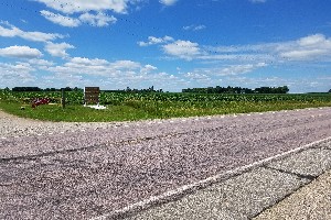 5X Larger Image 10X |
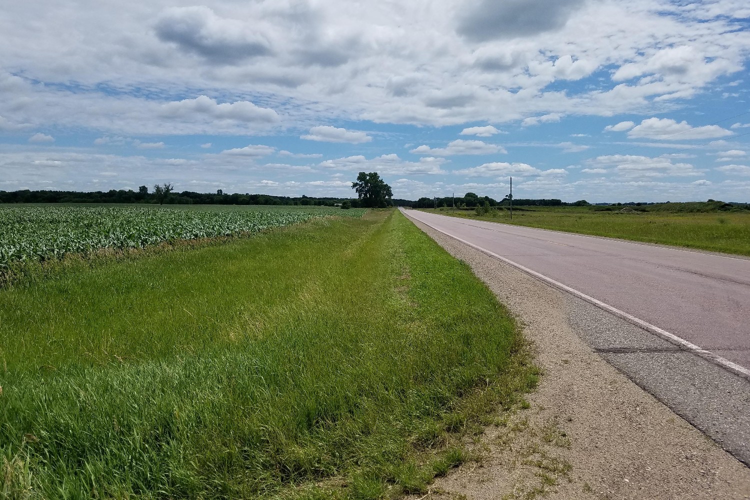
View Looking N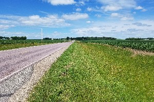 5X Larger Image 10X |
View Looking NE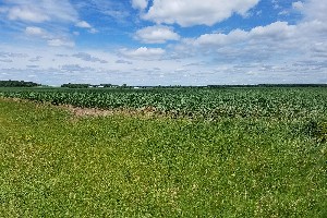 5X Larger Image 10X |
View Looking W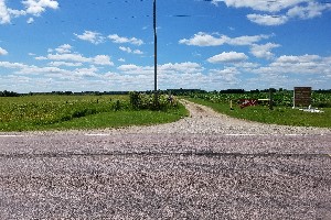 5X Larger Image 10X |
Aerial View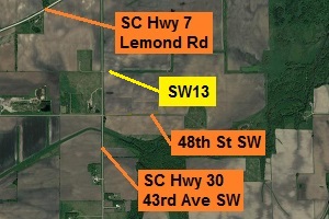 Google Map |
View Looking E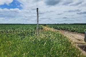 5X Larger Image 10X |
View Looking SW 5X Larger Image 10X |
View Looking S 5X Larger Image 10X |
View Looking SE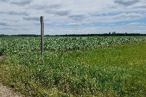 5X Larger Image 10X |
| Copyright 2019 - All Rights Reserved | Updated 12-Jul-2019 |