
| Location | Field Access on north side of Steele County Hwy 4 and 330 feet west of Steele County Hwy 16. |
|
| Additional Notes |
Access is graveled. Trees located to the NW. |
43° 56’ 34” N / 93° 03’ 24” W 43.943000, -93.056822 USNG: 15T VJ 95439 65543 |
| Exit Routes | North: Steele County Hwy 16 | East: NONE | South: Steele County Hwy 16 | West: Steele County Hwy 4 |
| Back to Map | Print pdf | |
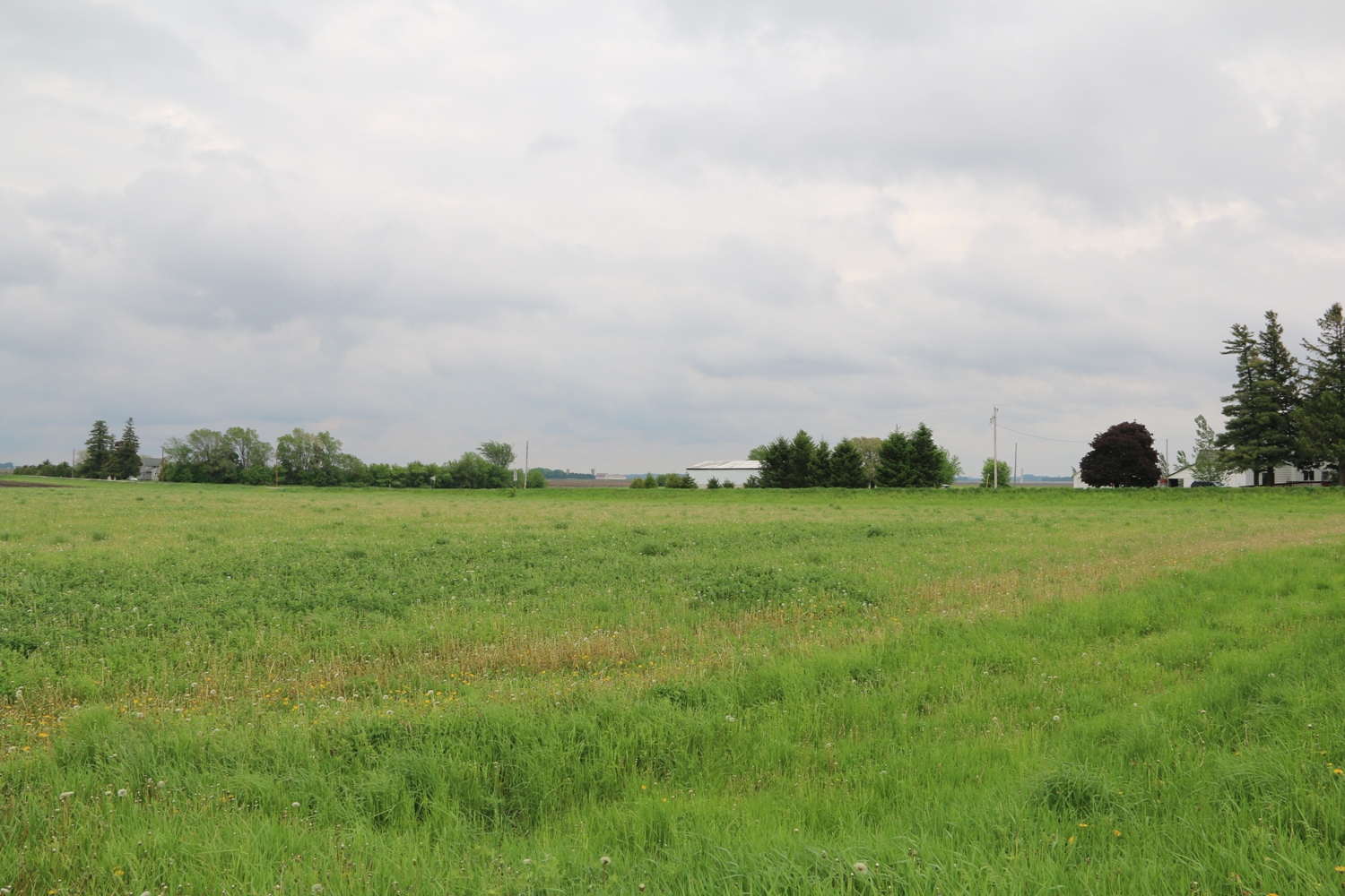
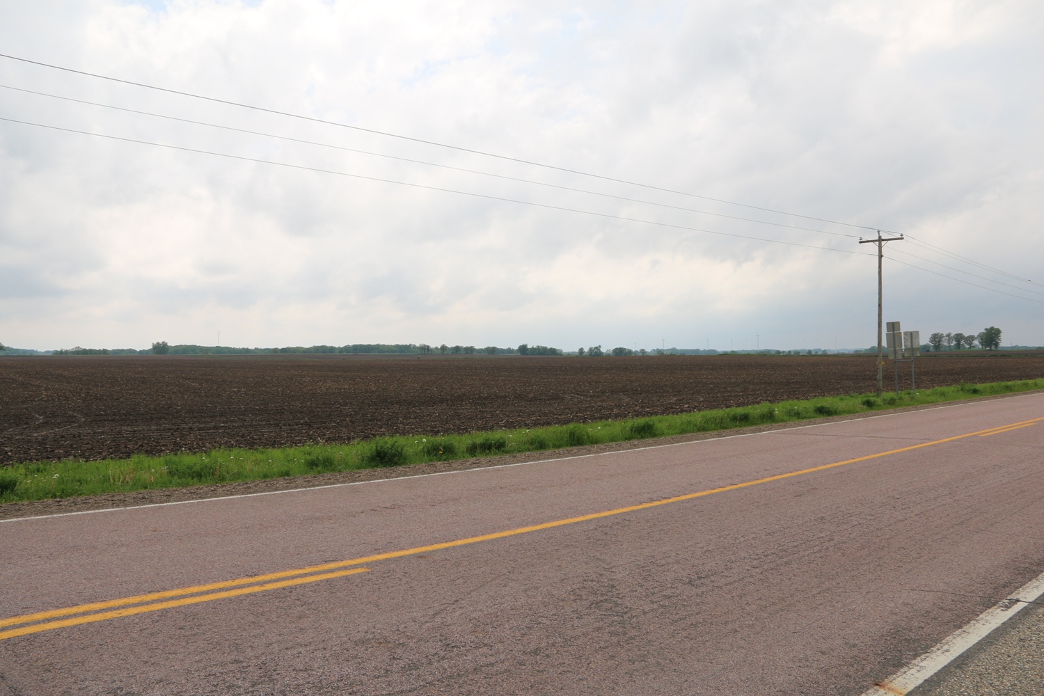
View Looking NW 5X Larger Image 10X |
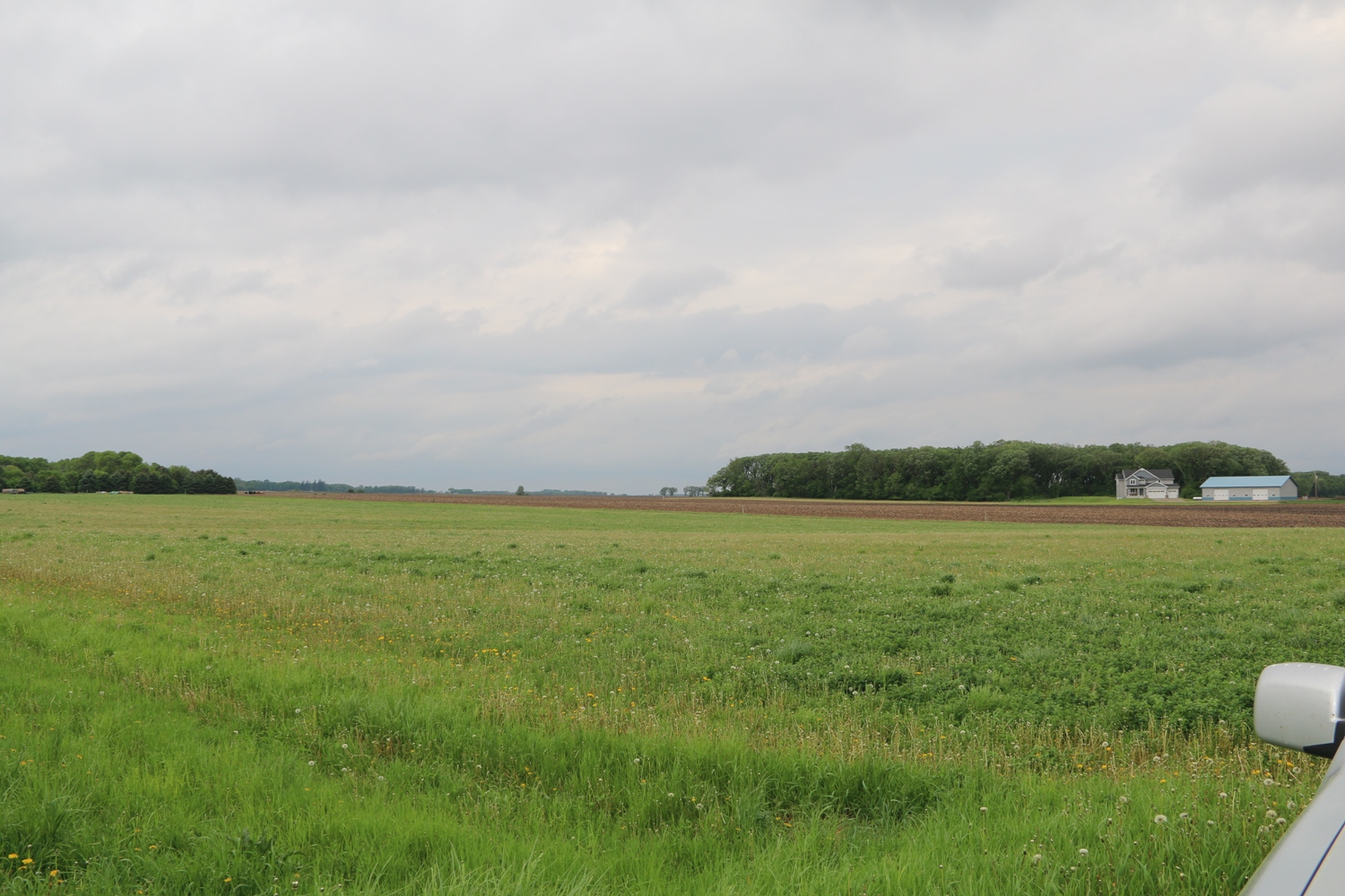
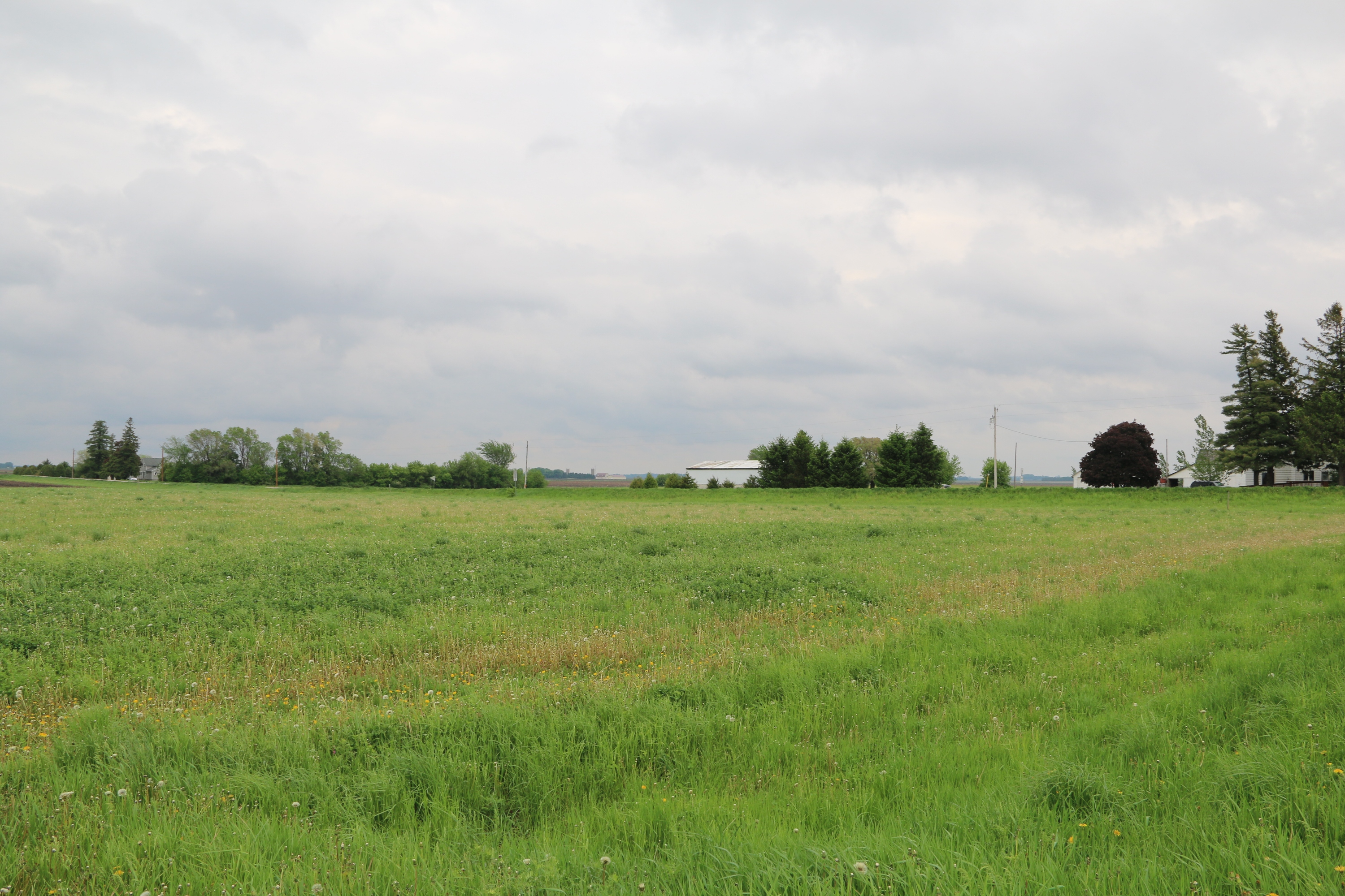
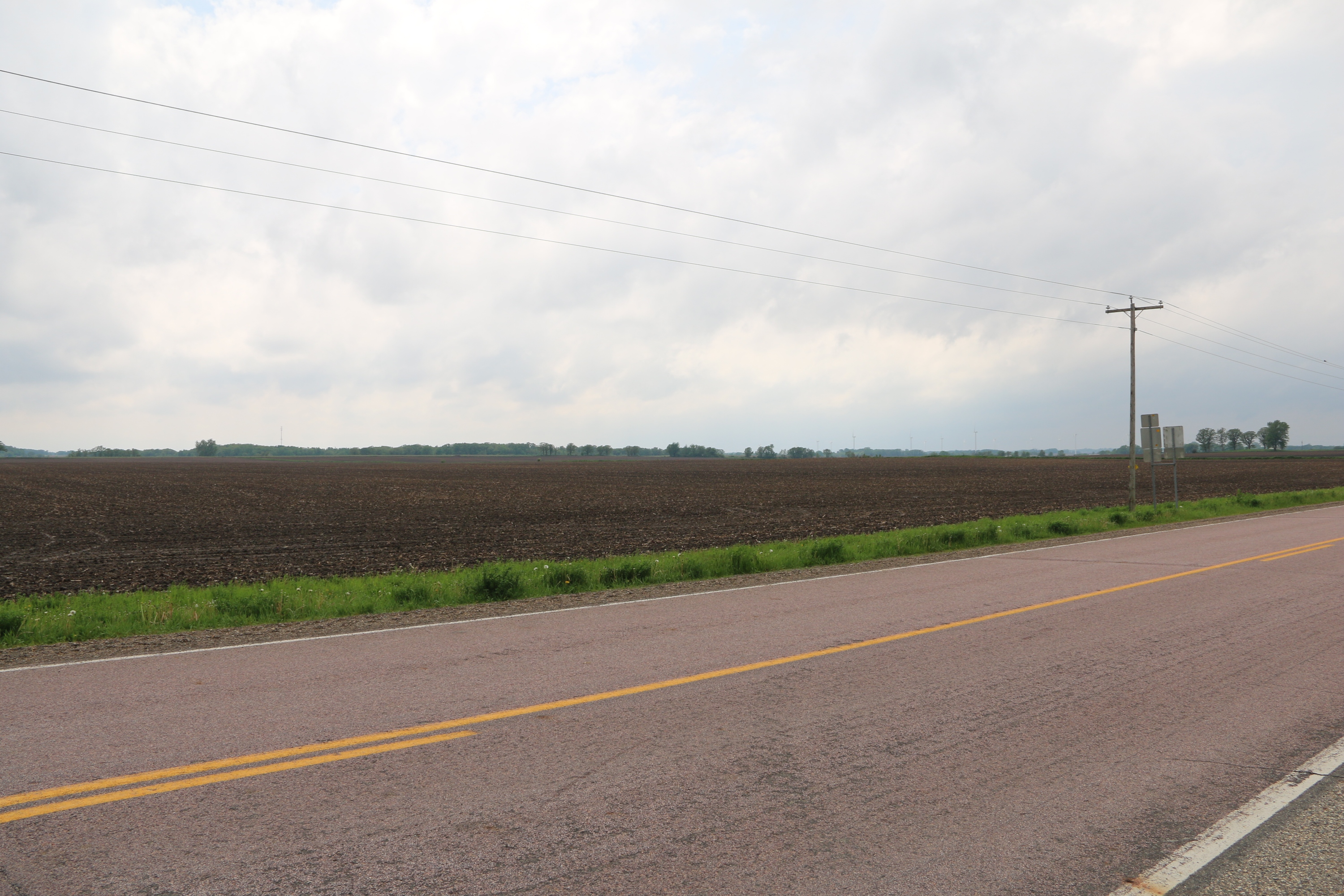
View Looking N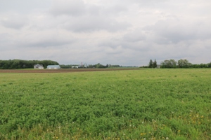 5X Larger Image 10X |
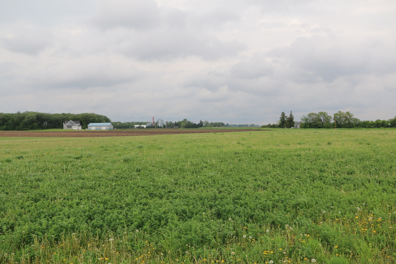
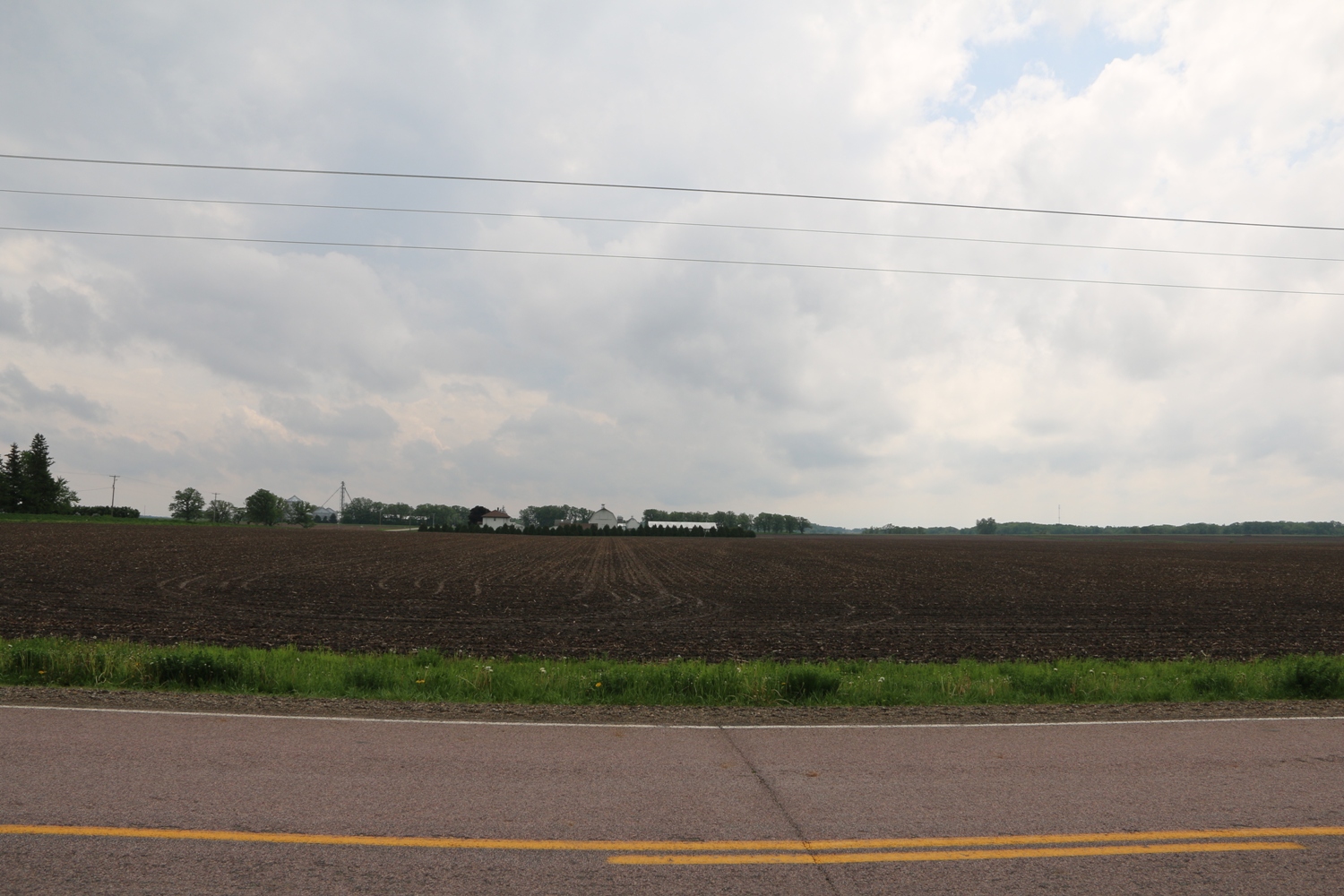
View Looking NE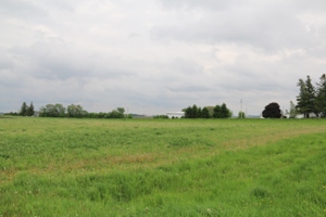 5X Larger Image 10X |
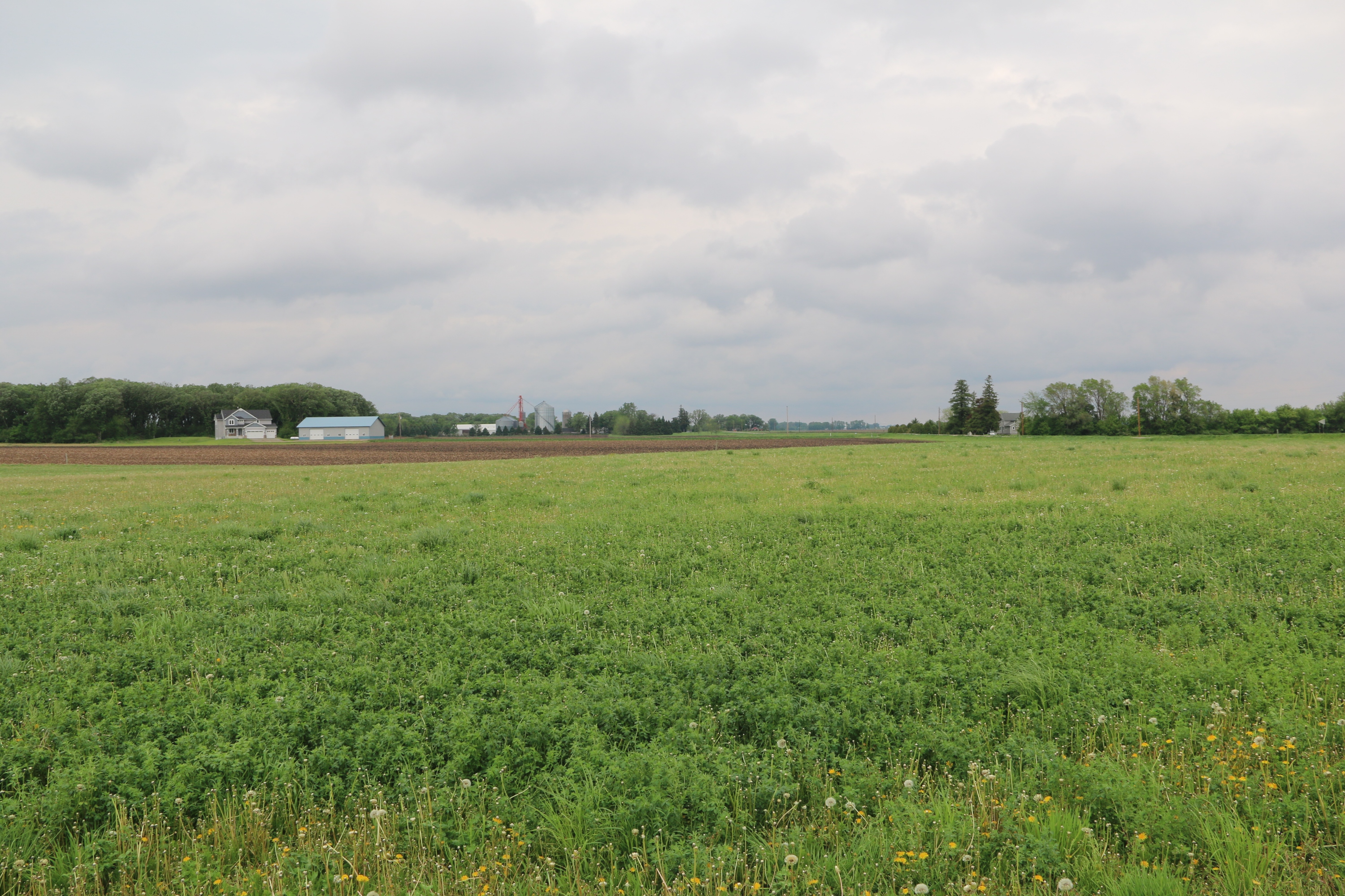
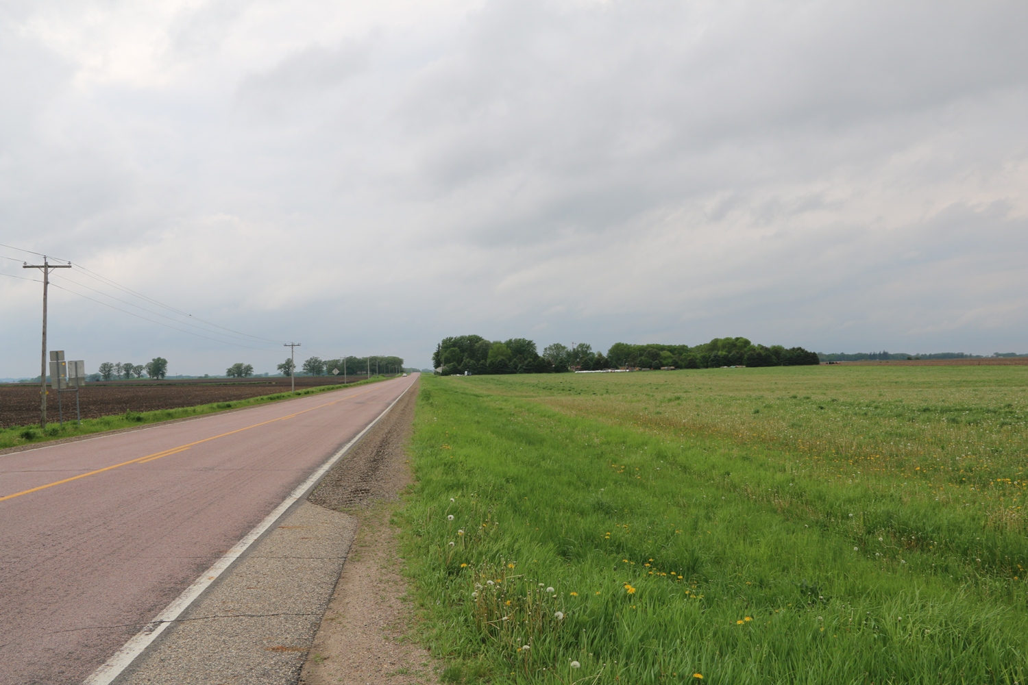
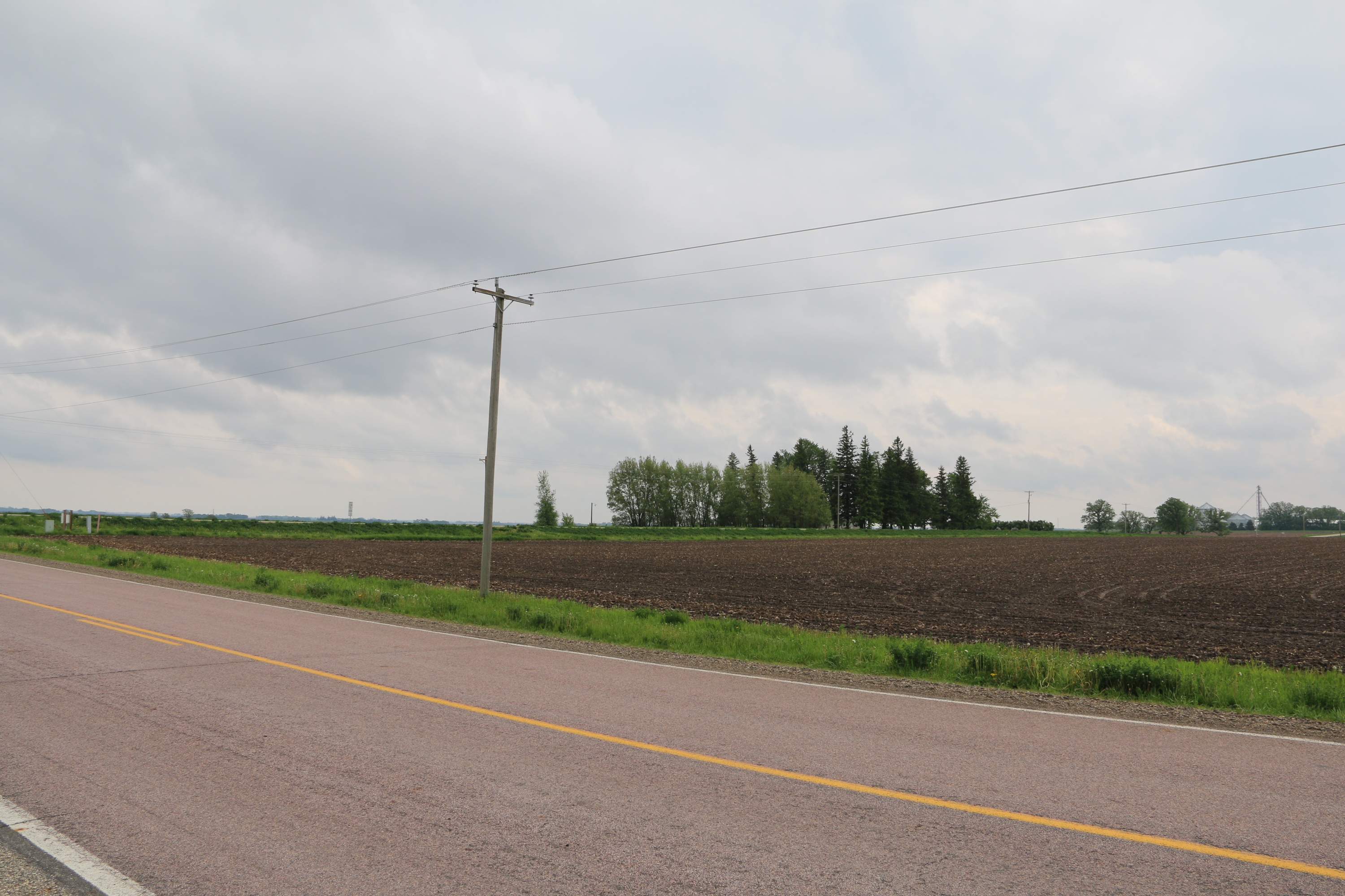
View Looking W 5X Larger Image 10X |
Aerial View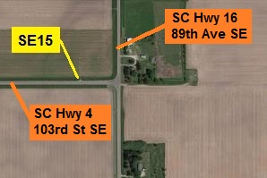 Google Map |
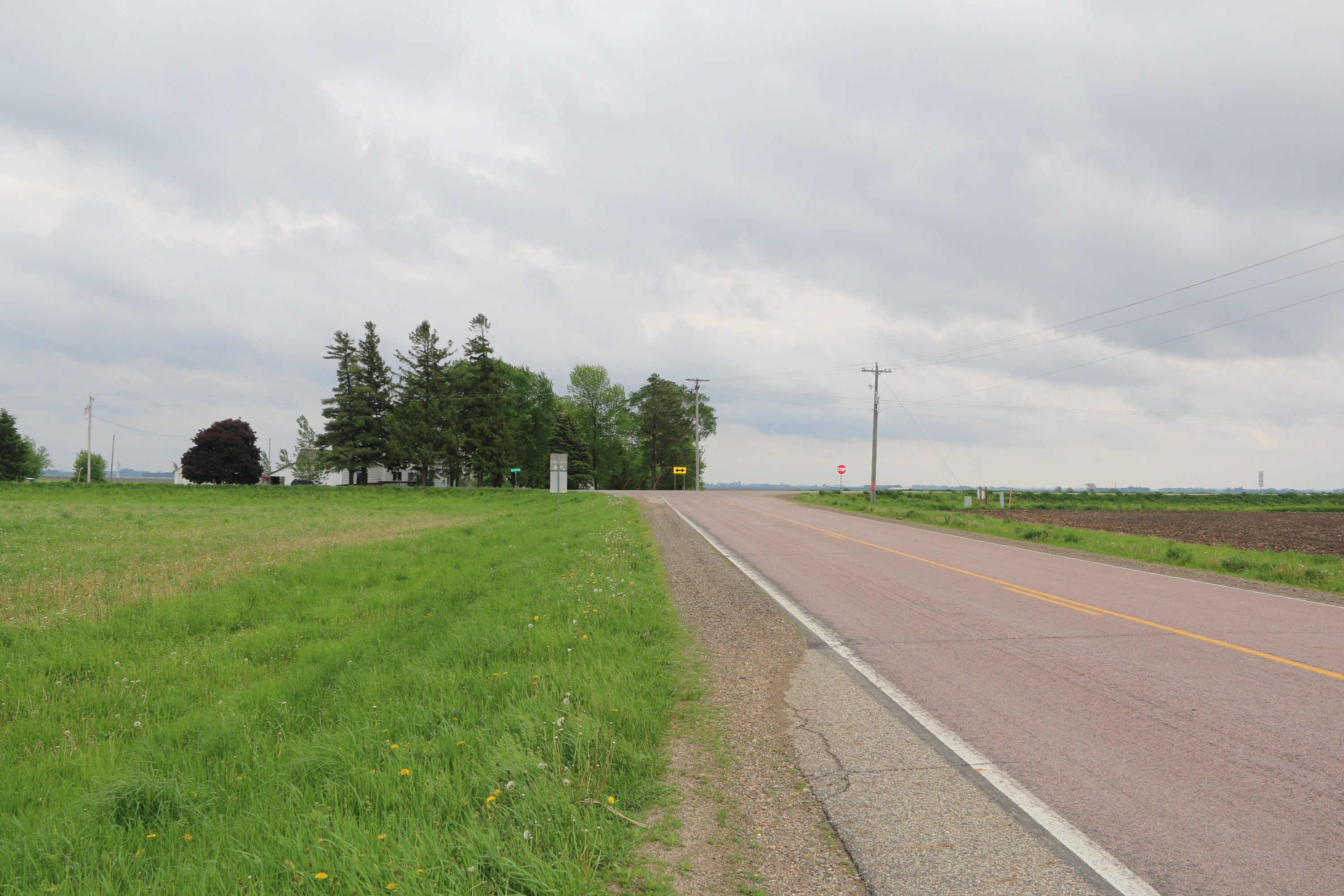
View Looking E 5X Larger Image 10X |
View Looking SW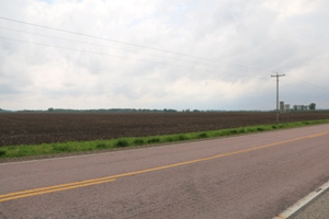 5X Larger Image 10X |
View Looking S 5X Larger Image 10X |
View Looking SE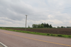 5X Larger Image 10X |
| Copyright 2019 - All Rights Reserved | Updated 12-Jul-2019 |