
| Location | Driveway on East side of Steele County Hwy 18 (NW 102nd Ave) 1500 feet south of Monks Corner (Steele County Hwy 12). Recommend north driveway exit of hog confinement. |
|
| Additional Notes |
44° 09’ 42” N / 93° 24’ 23” W 44.161834 / -93.406435 USNG: 15T VJ 67503 89927 | |
| Exit Routes | North: Steele County Hwy 18 | East: Steele County Hwy 12 (1500 feet north) | South: Steele County Hwy 18 | West: Steele County Hwy 12 (1500 feet north) |
| Back to Map | Print pdf | |
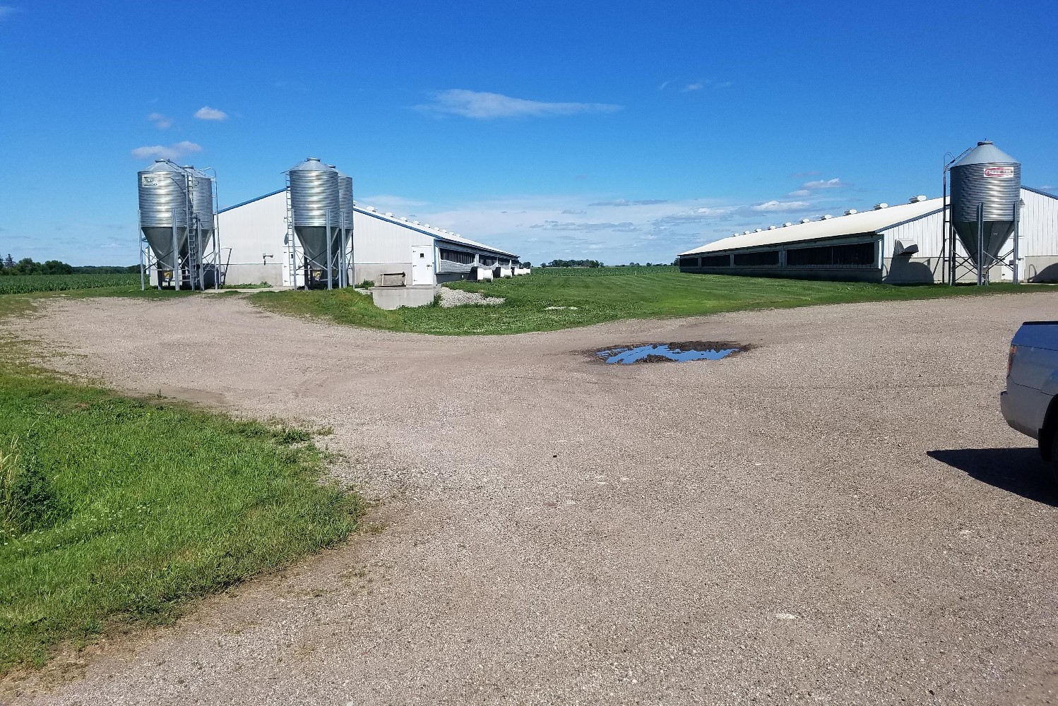
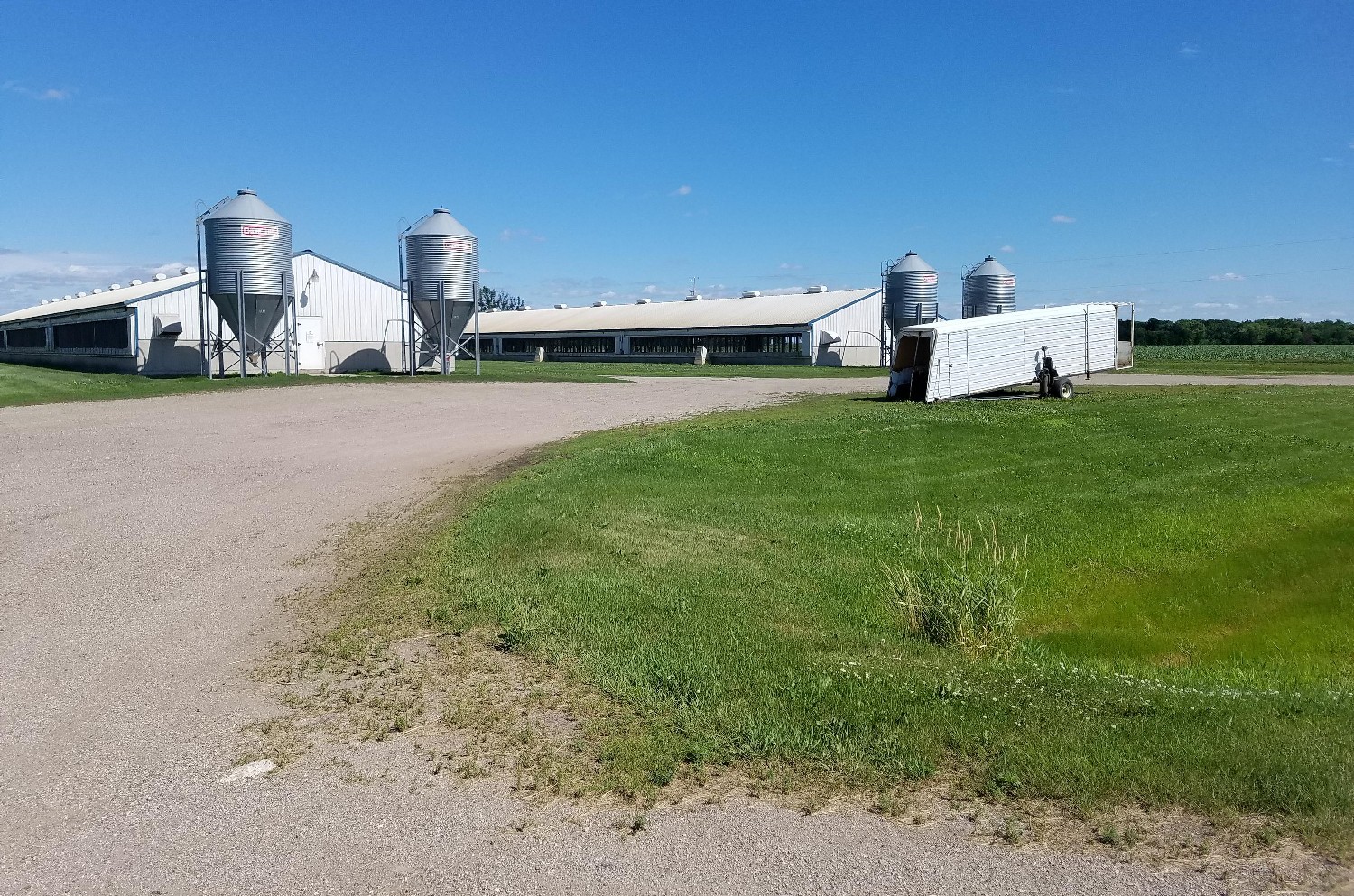
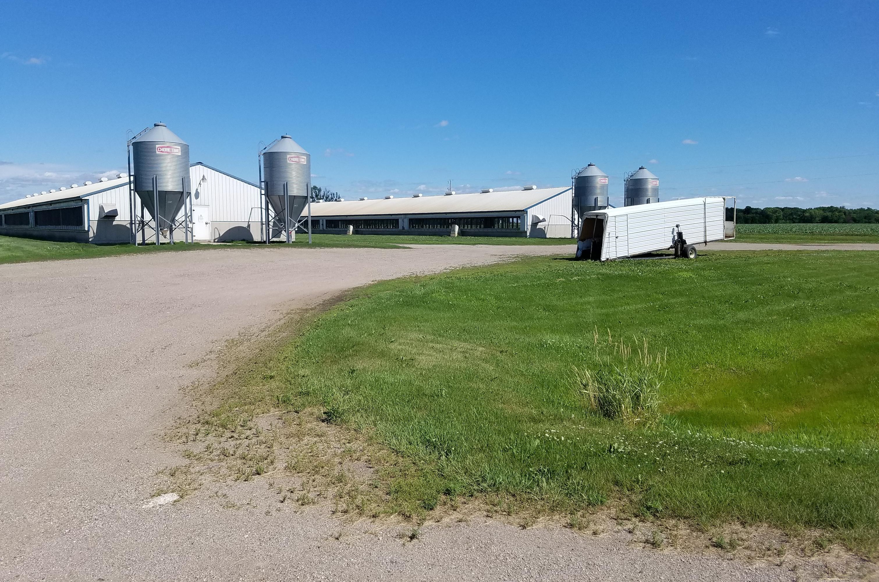
View Looking NW 5X Larger Image 10X |
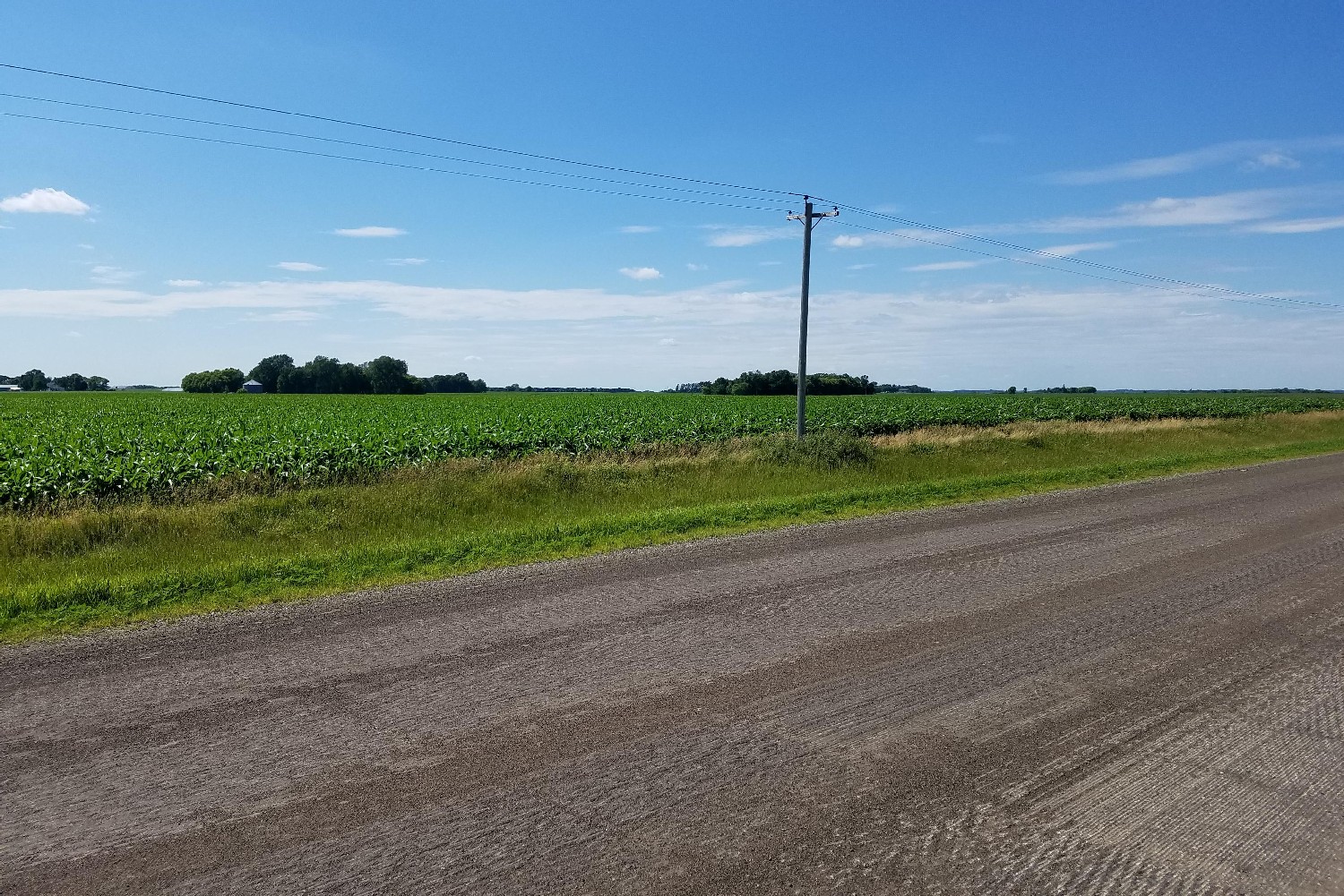
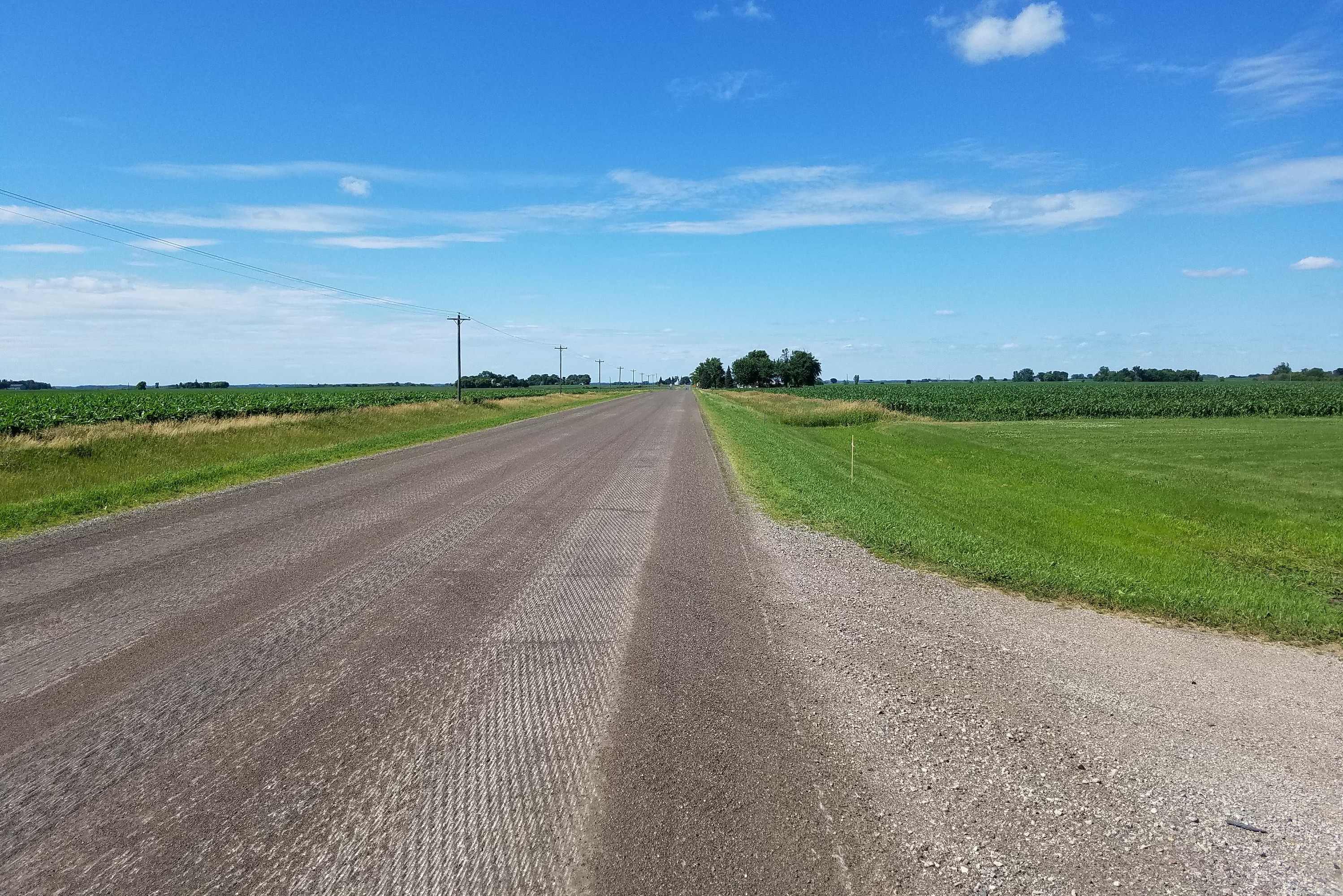
View Looking N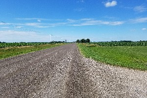 5X Larger Image 10X |
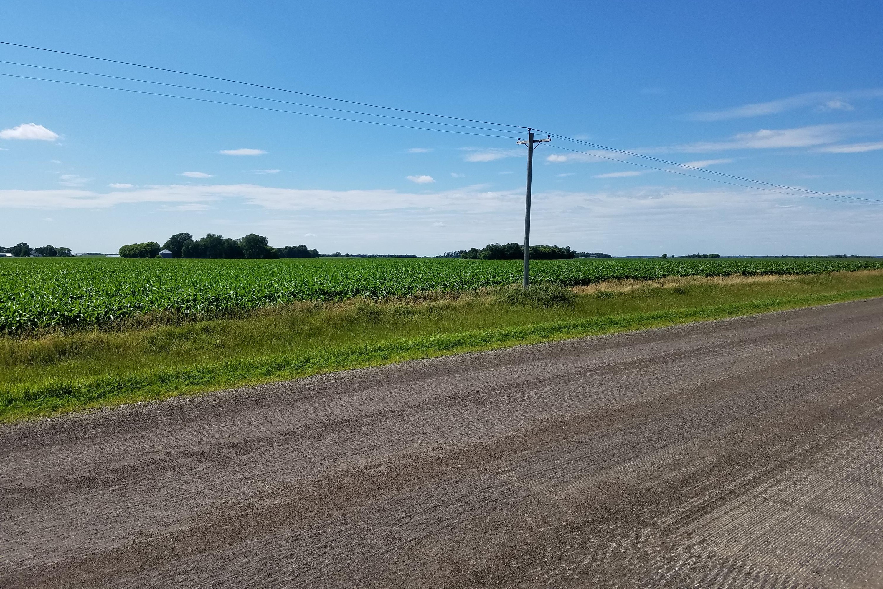
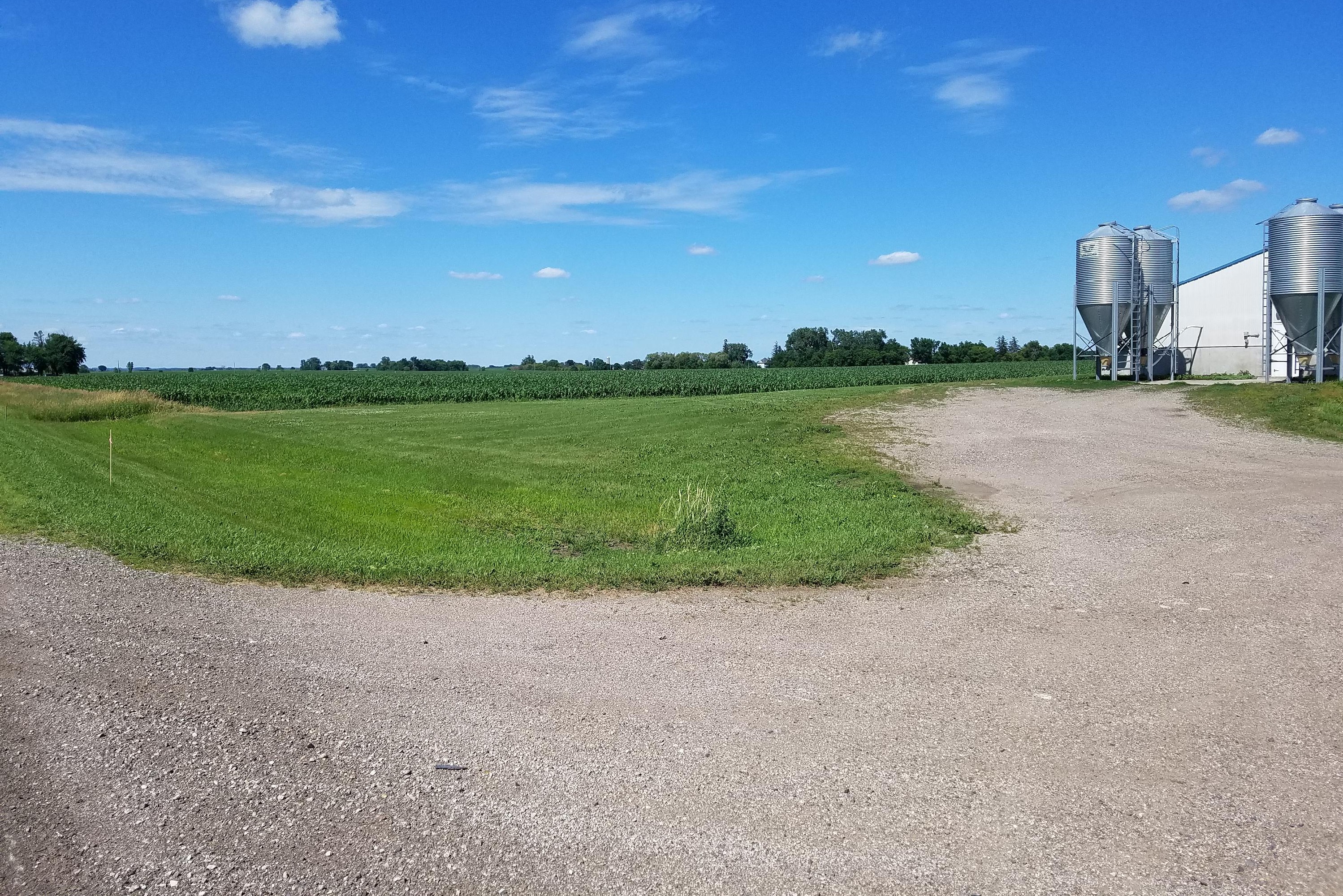
View Looking NE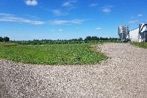 5X Larger Image 10X |
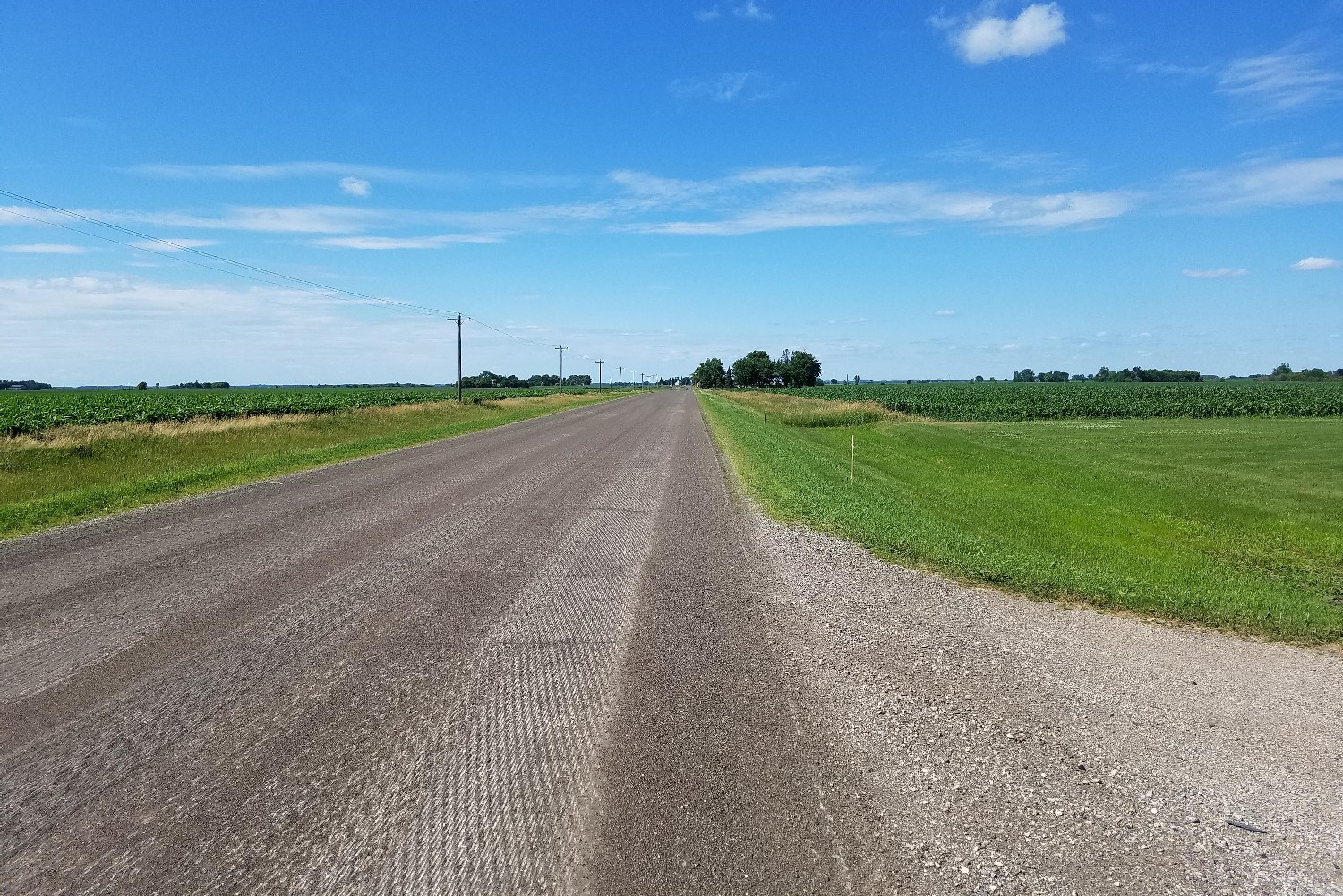
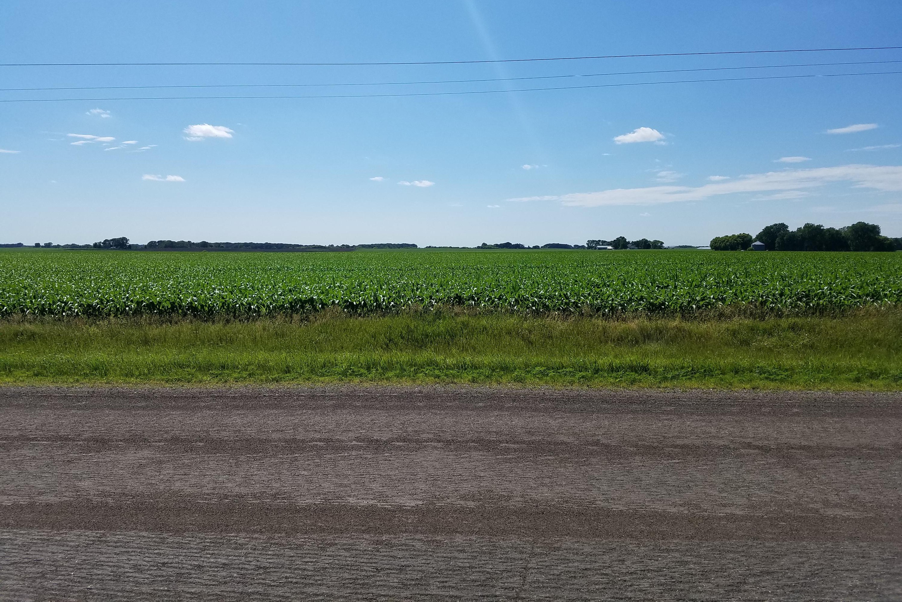
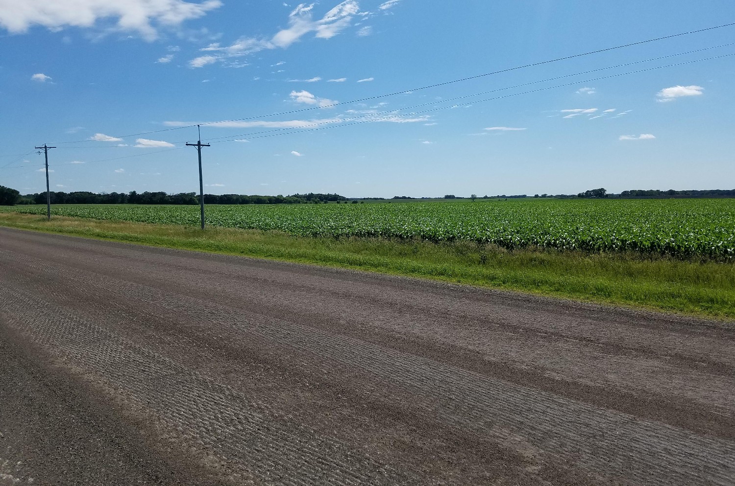
View Looking W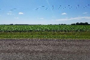 5X Larger Image 10X |
Aerial View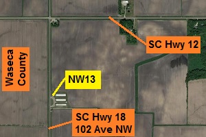 Google Map |
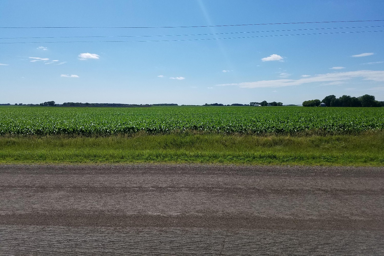
View Looking E 5X Larger Image 10X |
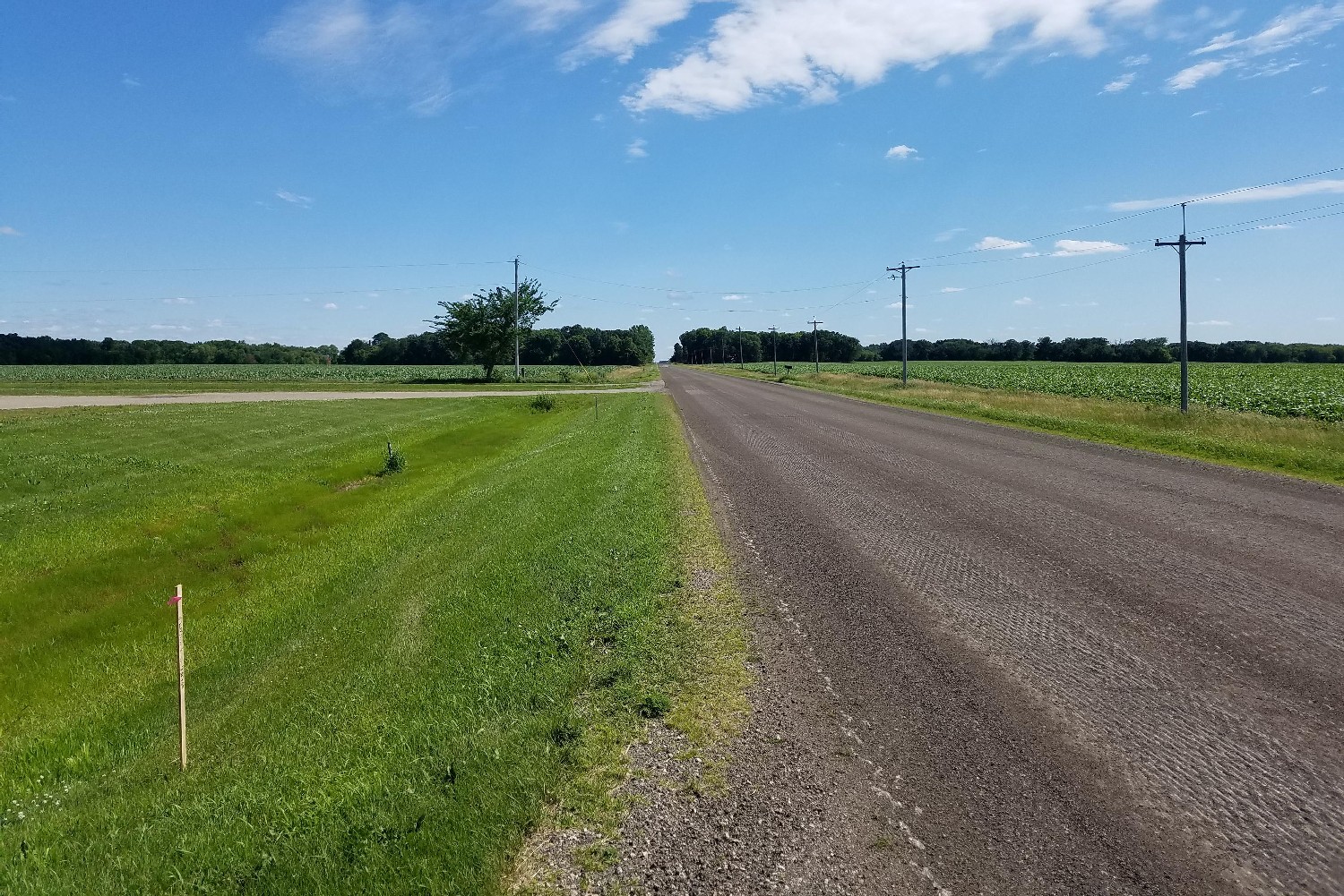
View Looking SW 5X Larger Image 10X |
View Looking S 5X Larger Image 10X |
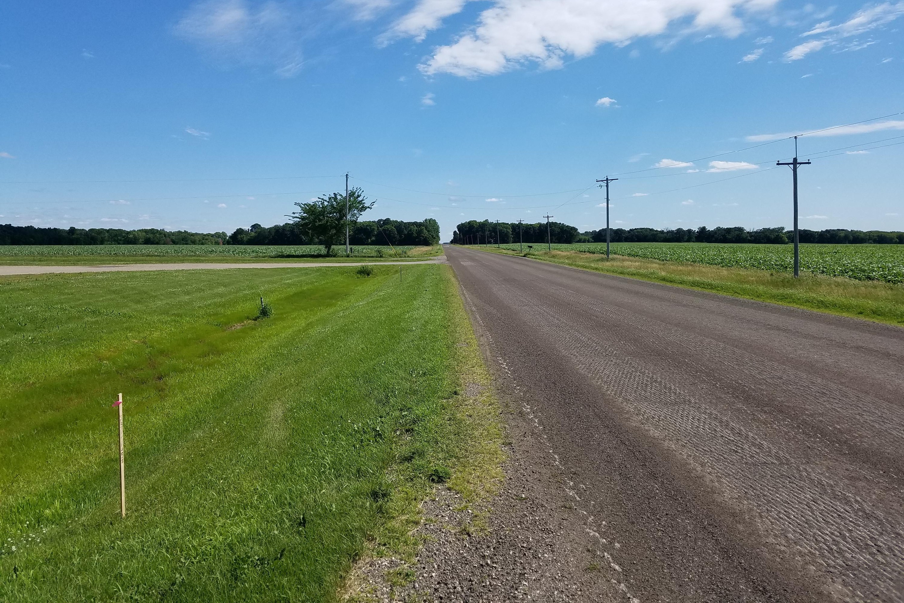
View Looking SE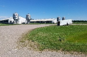 5X Larger Image 10X |
| Copyright 2019 - All Rights Reserved | Updated 09-Jul-2019 |