
| Location | Service access on east side of Steele County Hwy 33 1/2 mile south of Steele County Hwy 18. South of KOWZ tower site. |
|
| Additional Notes |
Access is well graveled and easy to locate | 44° 02’ 37” N / 93° 23’ 12” W 44.043822, -93.386652 USNG: 15T VJ 69023 76812 |
| Exit Routes | North: Steele County Hwy 33 | East: US Hwy 14 (1 mile north) | South: Steele County Hwy 33 | West: US Hwy 14 (1 mile north) |
| Back to Map | Print pdf | |
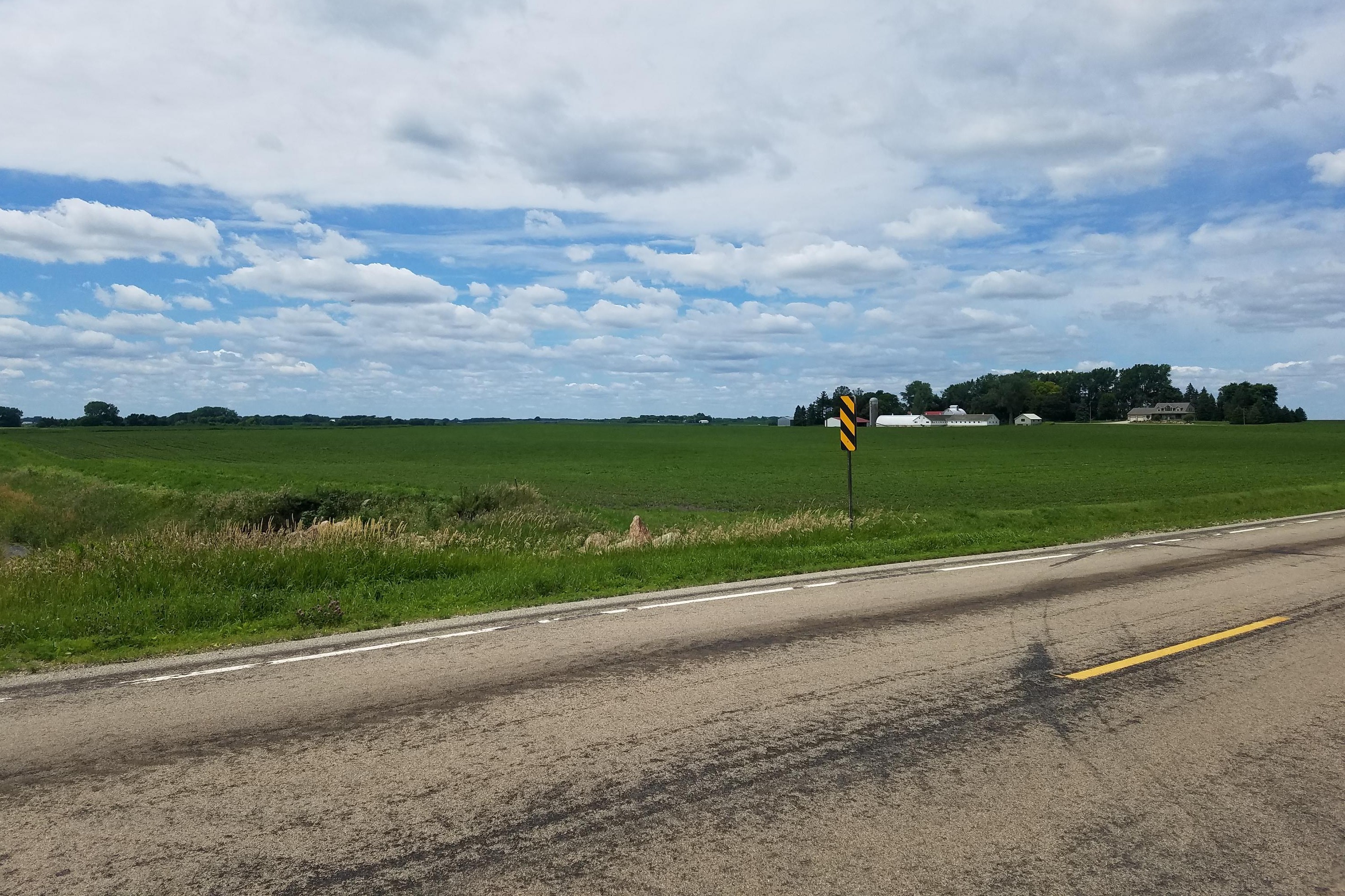
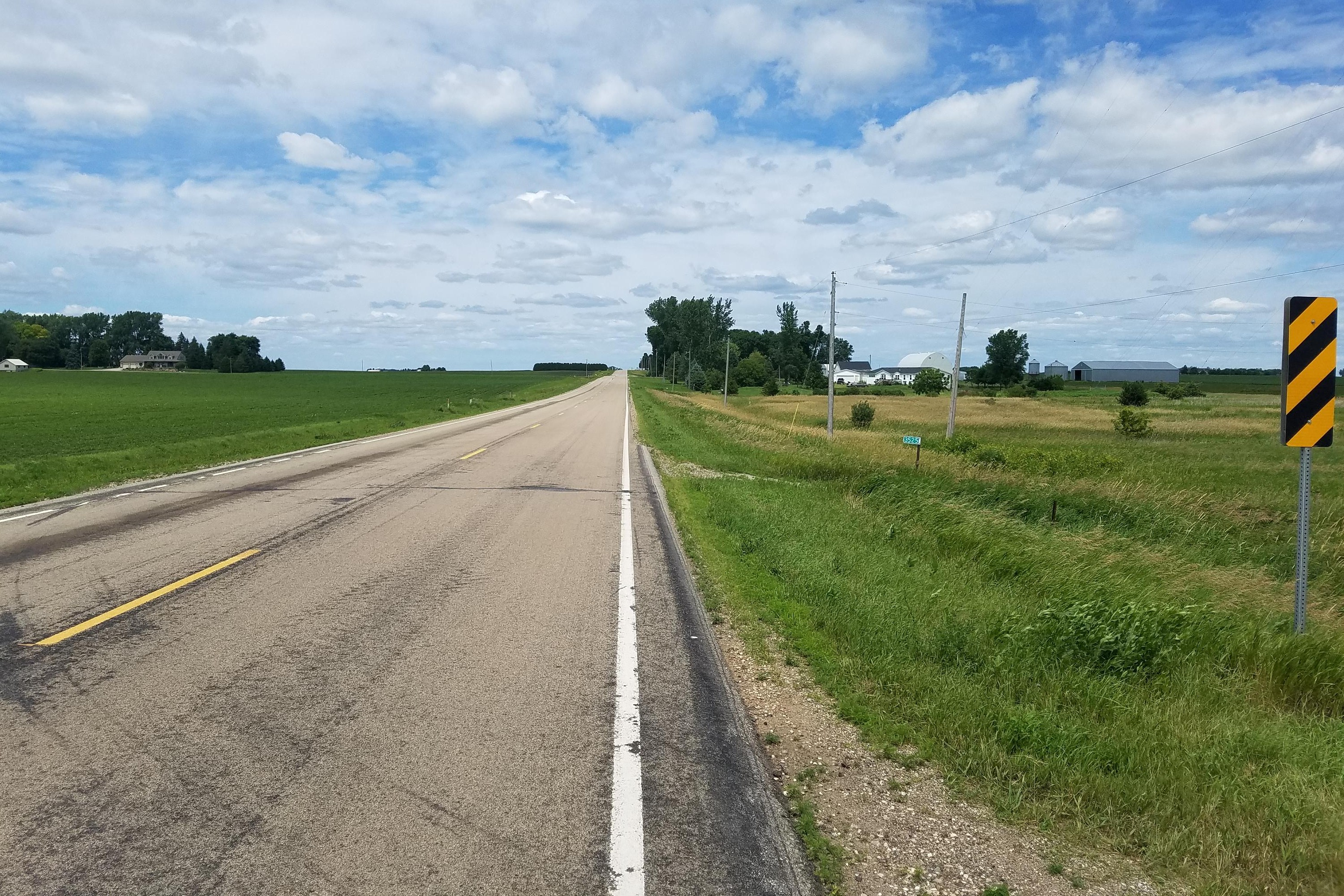
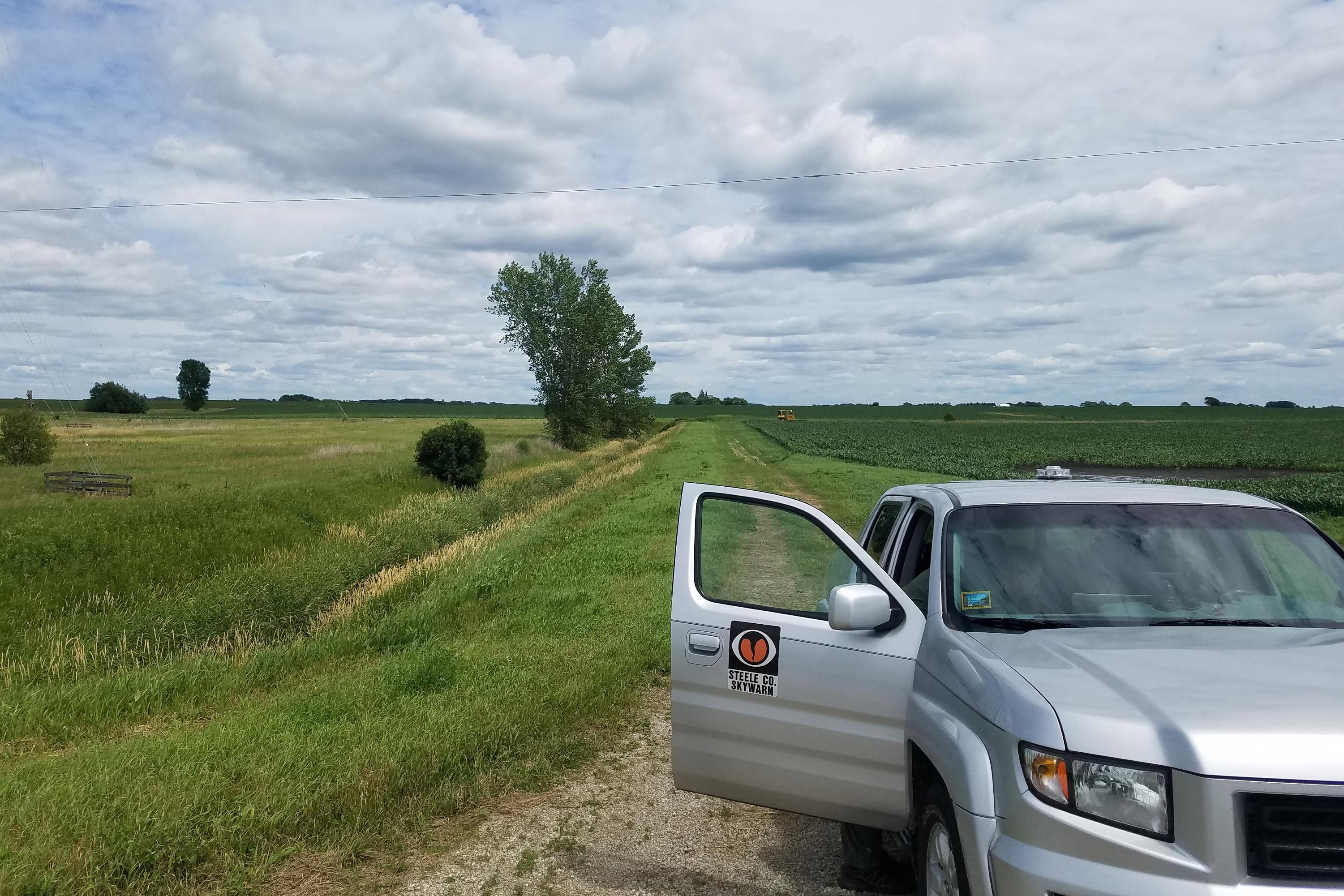
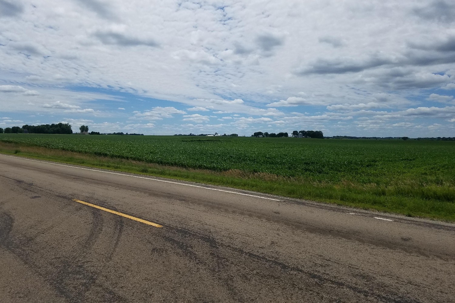
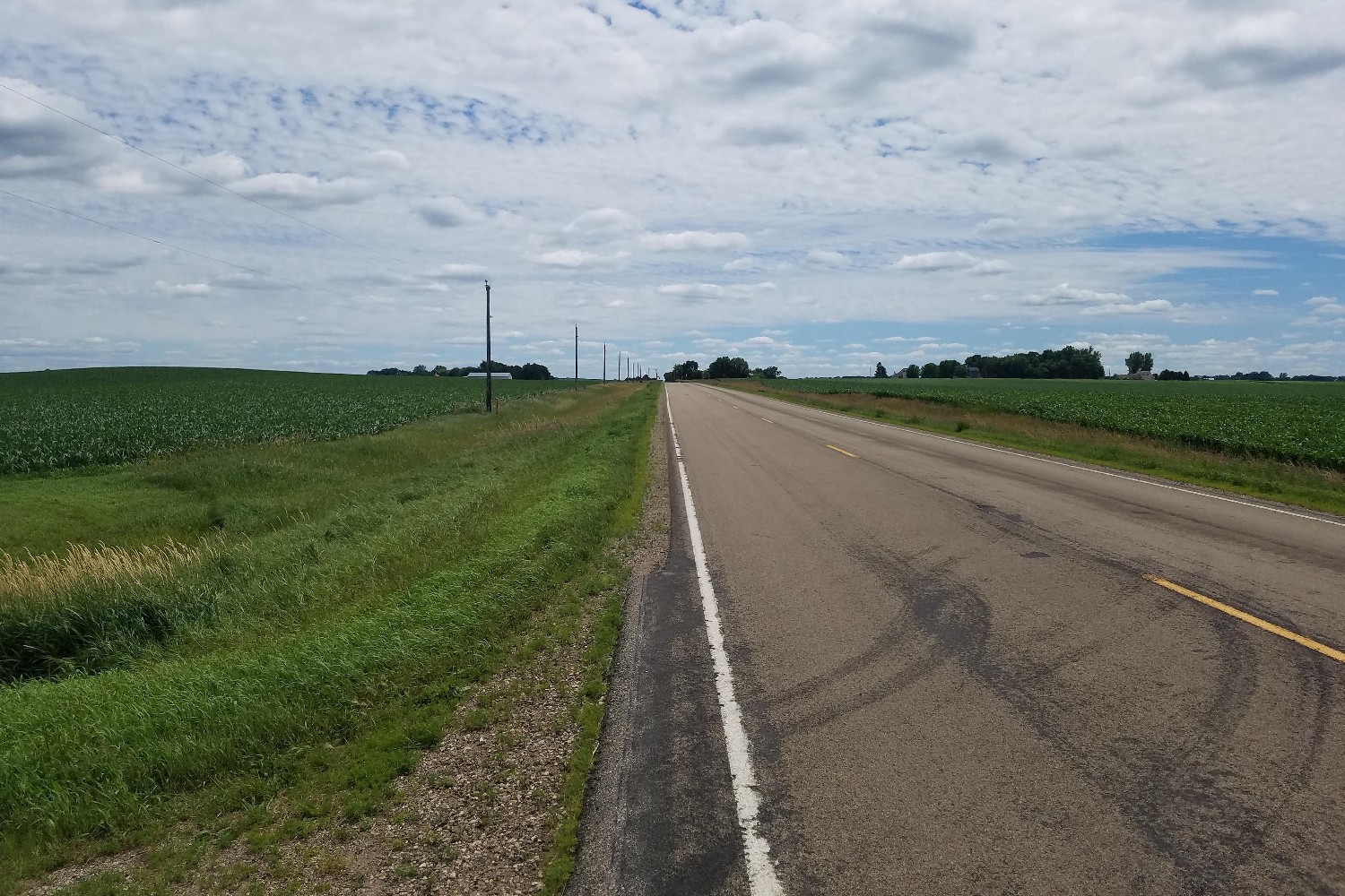
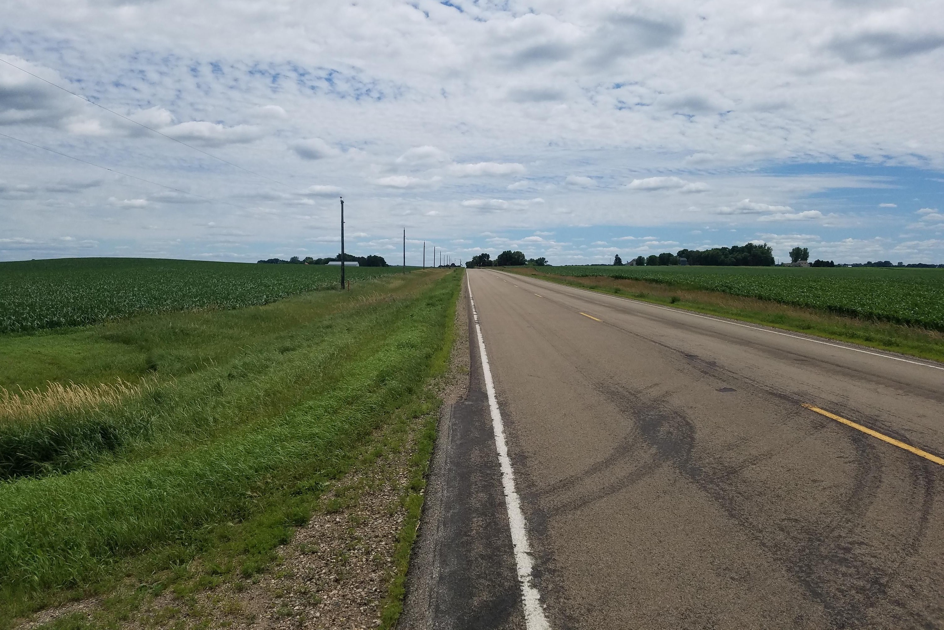
View Looking NW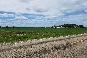 5X Larger Image 10X |
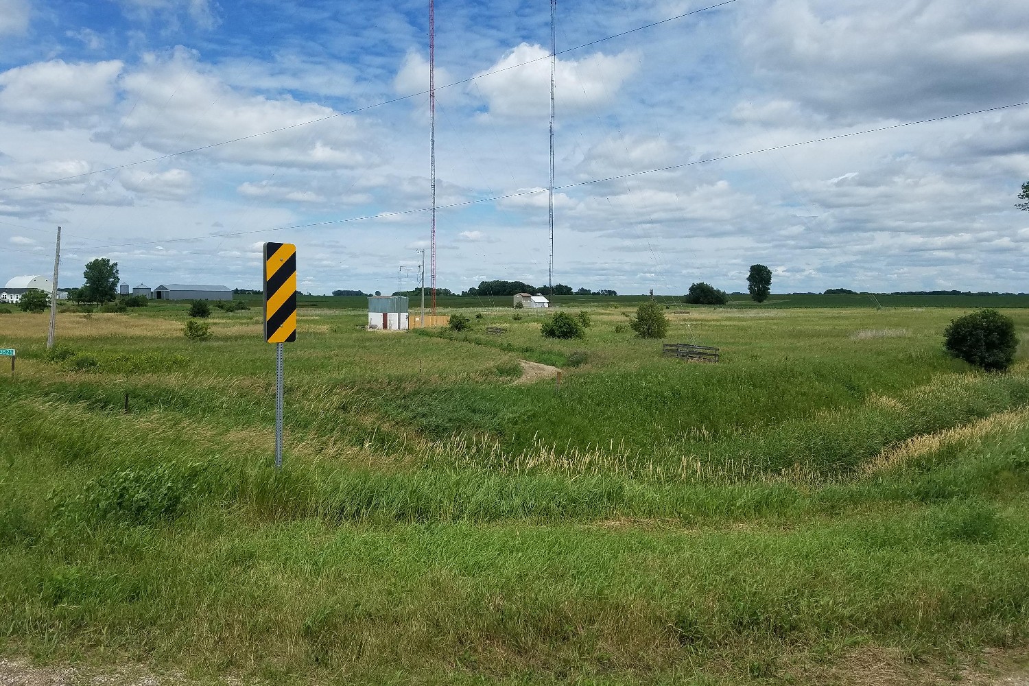
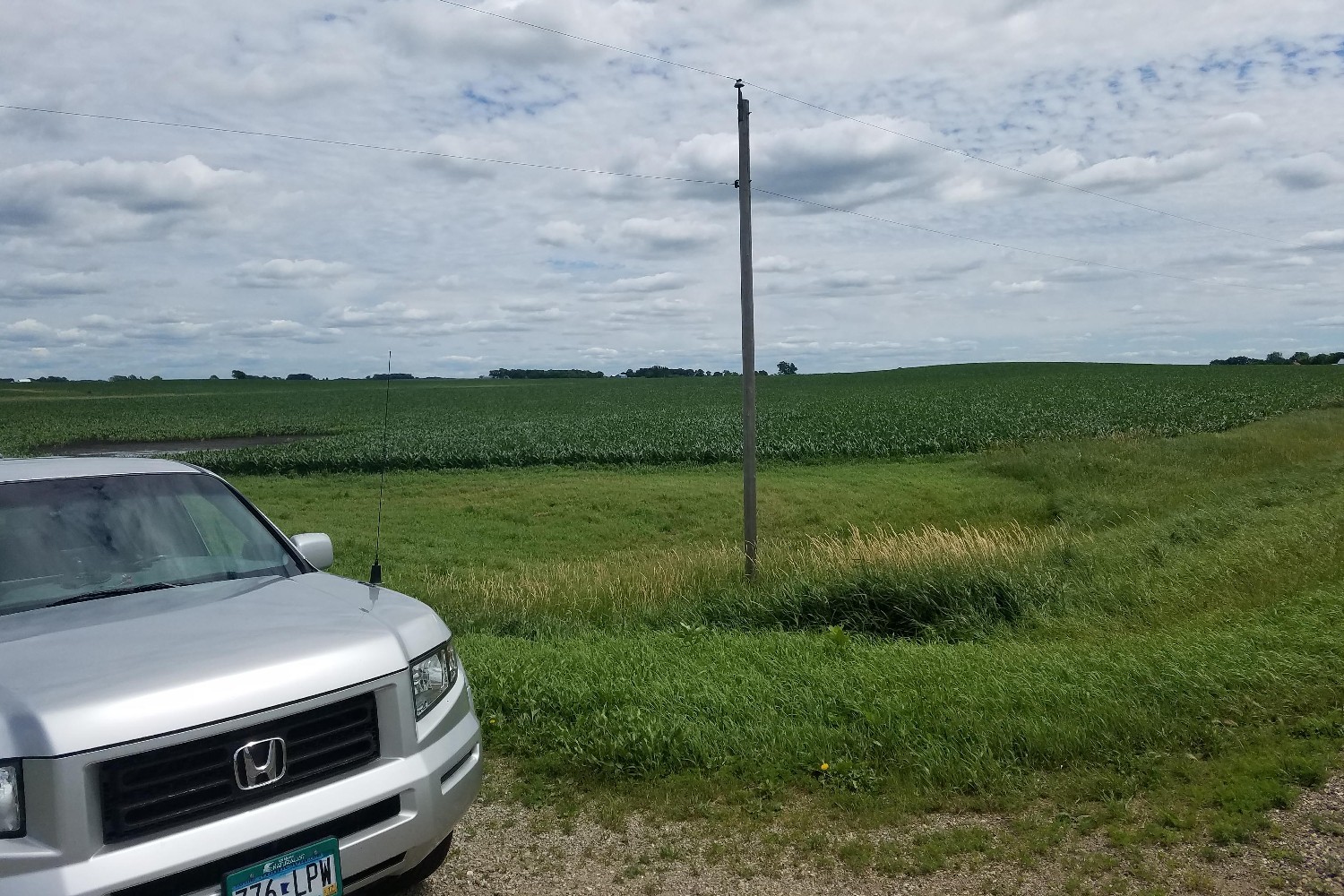
View Looking N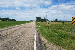 5X Larger Image 10X |
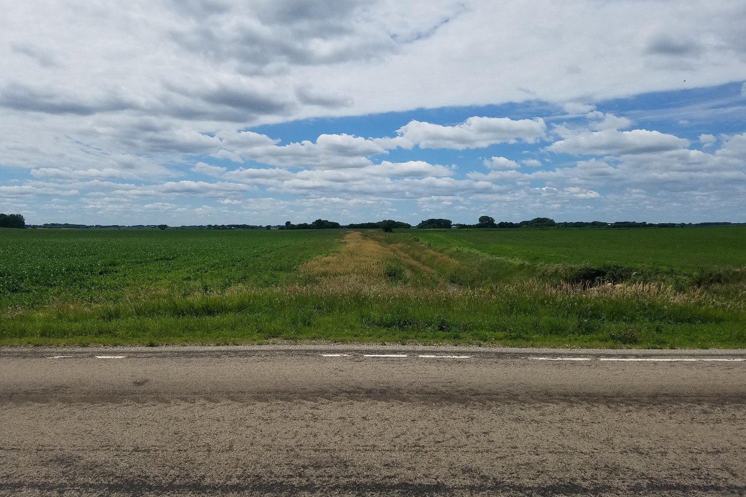
View Looking NE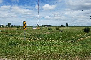 5X Larger Image 10X |
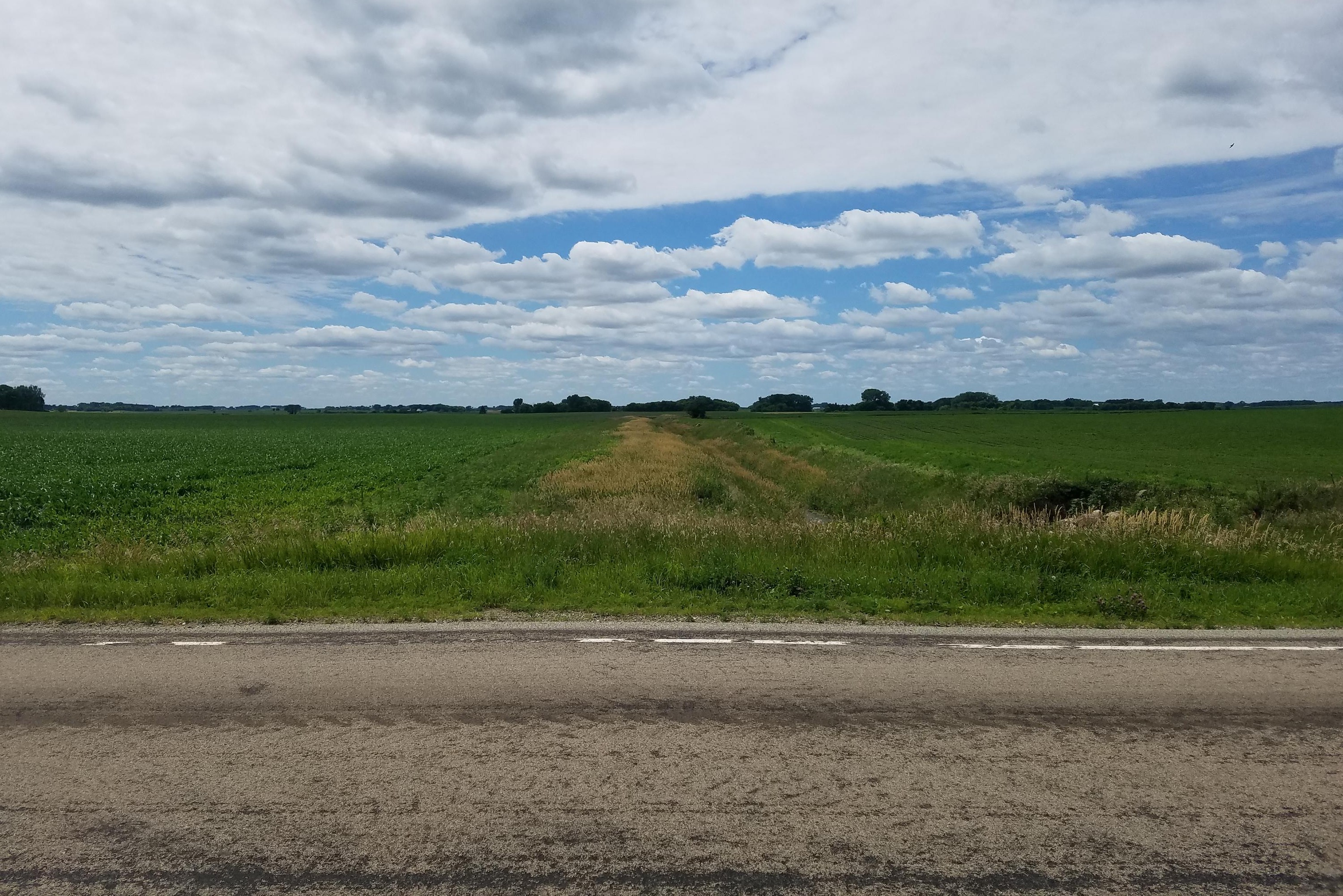
View Looking W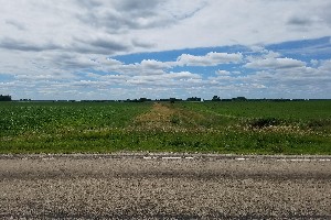 5X Larger Image 10X |
Aerial View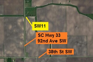 Google Map |
View Looking E 5X Larger Image 10X |
View Looking SW 5X Larger Image 10X |
View Looking S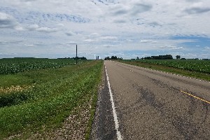 5X Larger Image 10X |
View Looking SE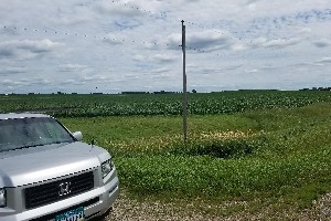 5X Larger Image 10X |
| Copyright 2019 - All Rights Reserved | Updated 12-Jul-2019 |