
| Location | Field Access on west side of Steele County Hwy 3 and 1500 feet north of County Line Road. |
|
| Additional Notes |
Access is well graveled. Second field access on east side. |
43° 51’ 08” N / 93° 15’ 37” W 43.852407, -93.260408 USNG: 15T VJ 79070 55513 |
| Exit Routes | North: Steele County Hwy 3 | East: MN Hwy 30 (1.25 miles north) | South: Steele County Hwy 3 | West: MN Hwy 30 (1.25 miles north) |
| Back to Map | Print pdf | |
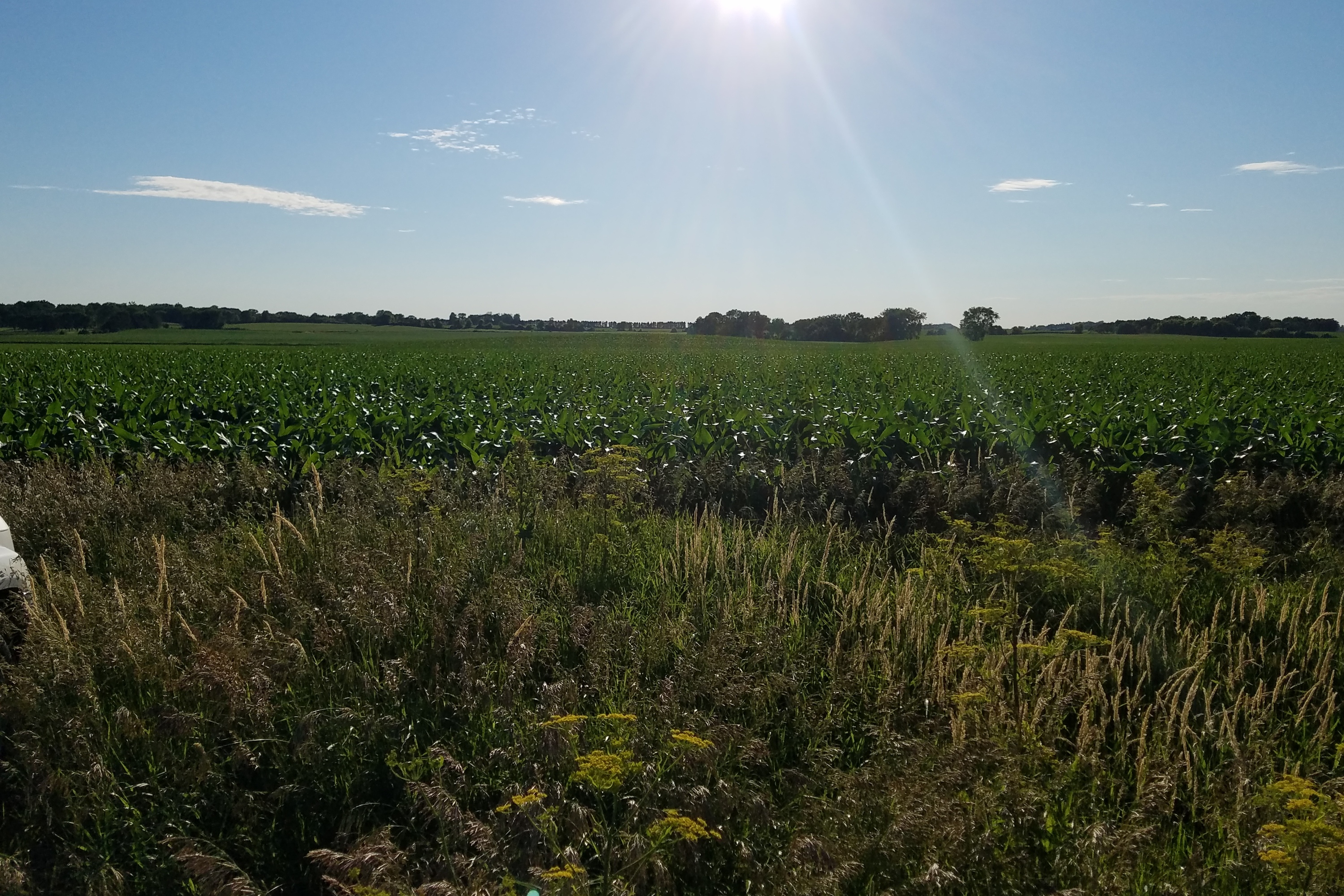
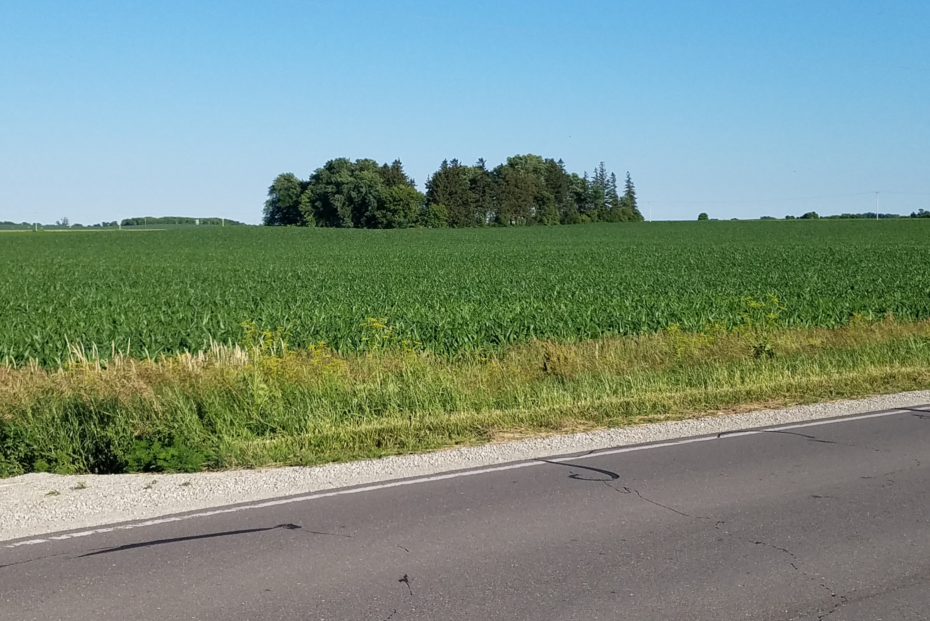
View Looking NW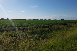 5X Larger Image 10X |
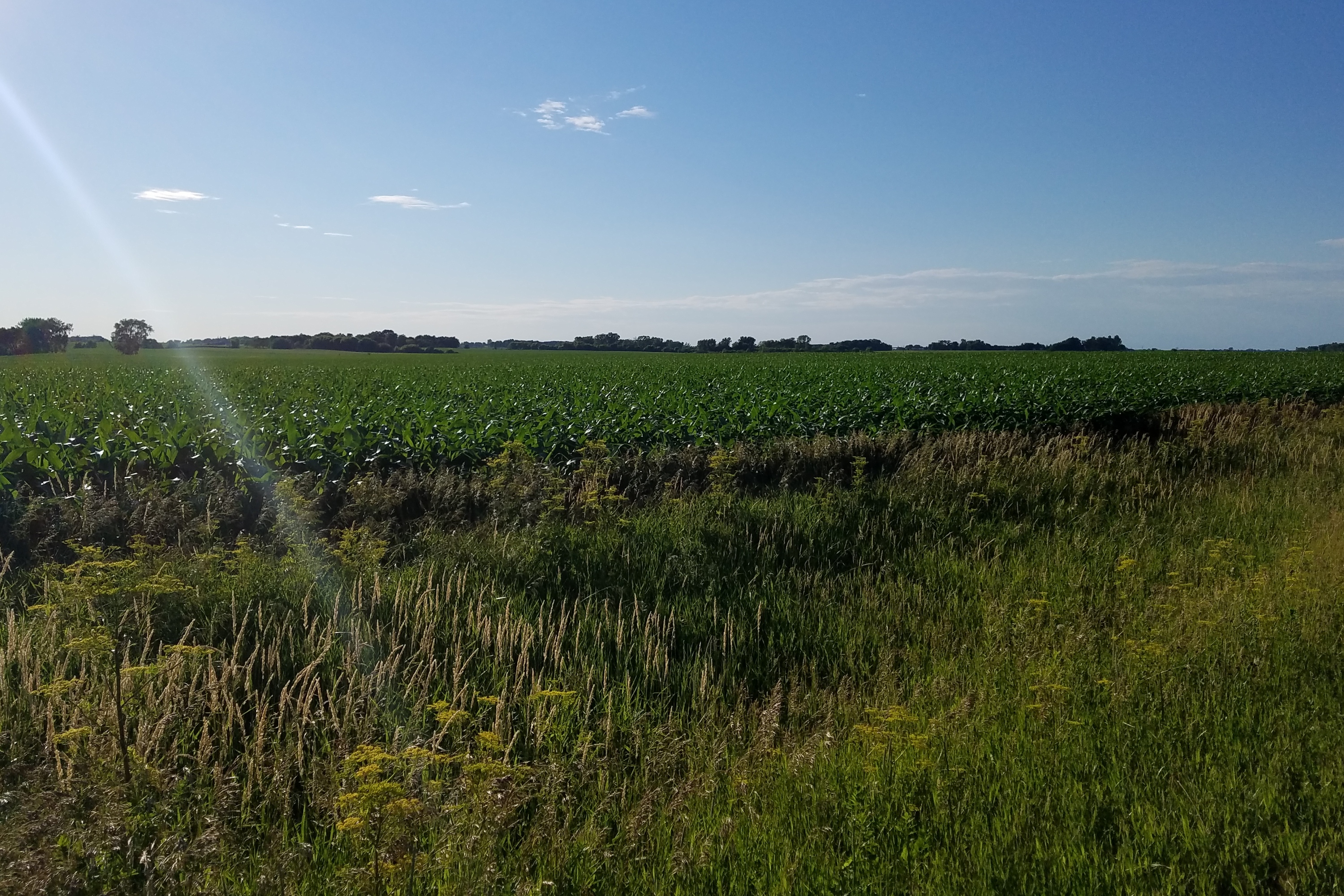
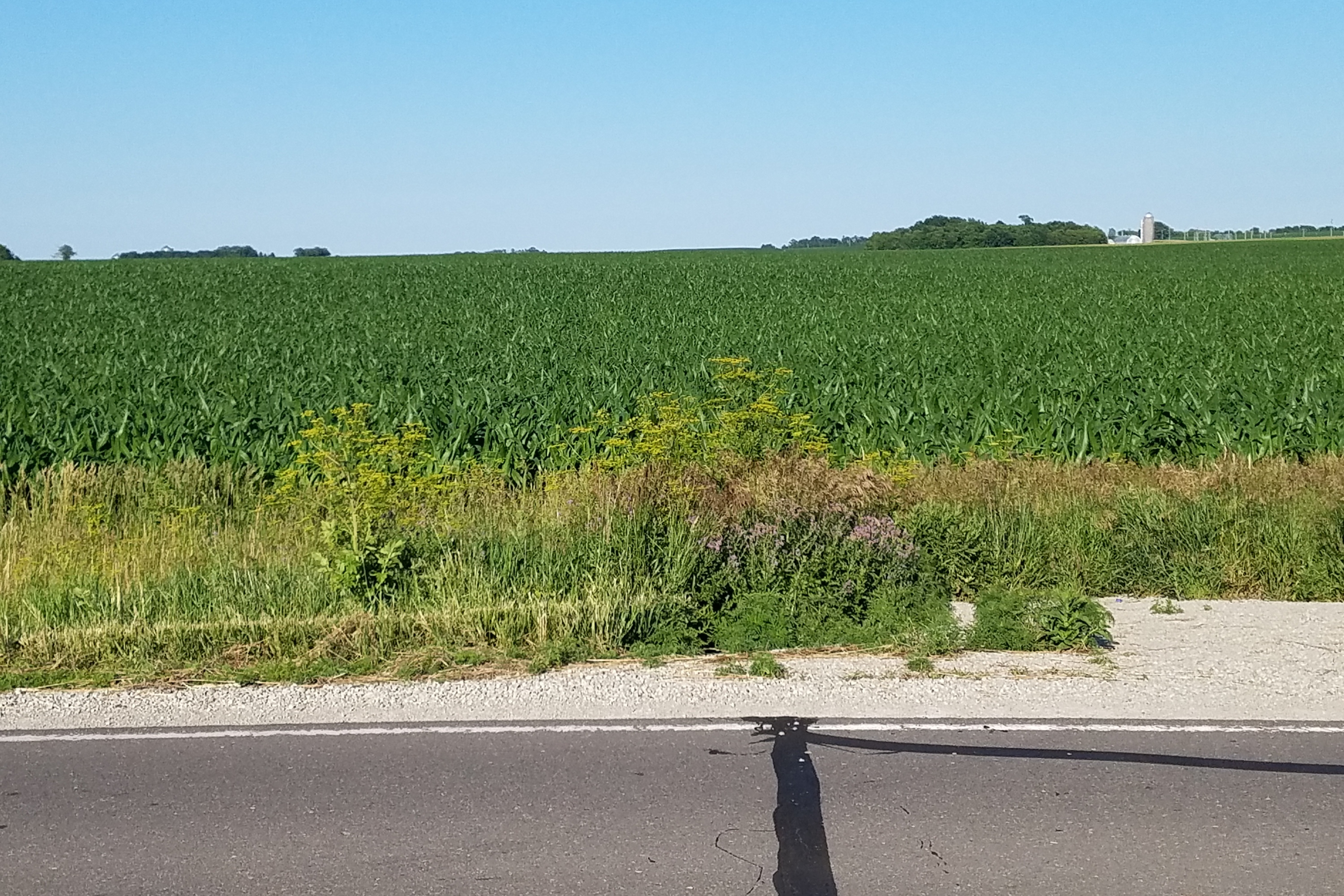
View Looking N 5X Larger Image 10X |
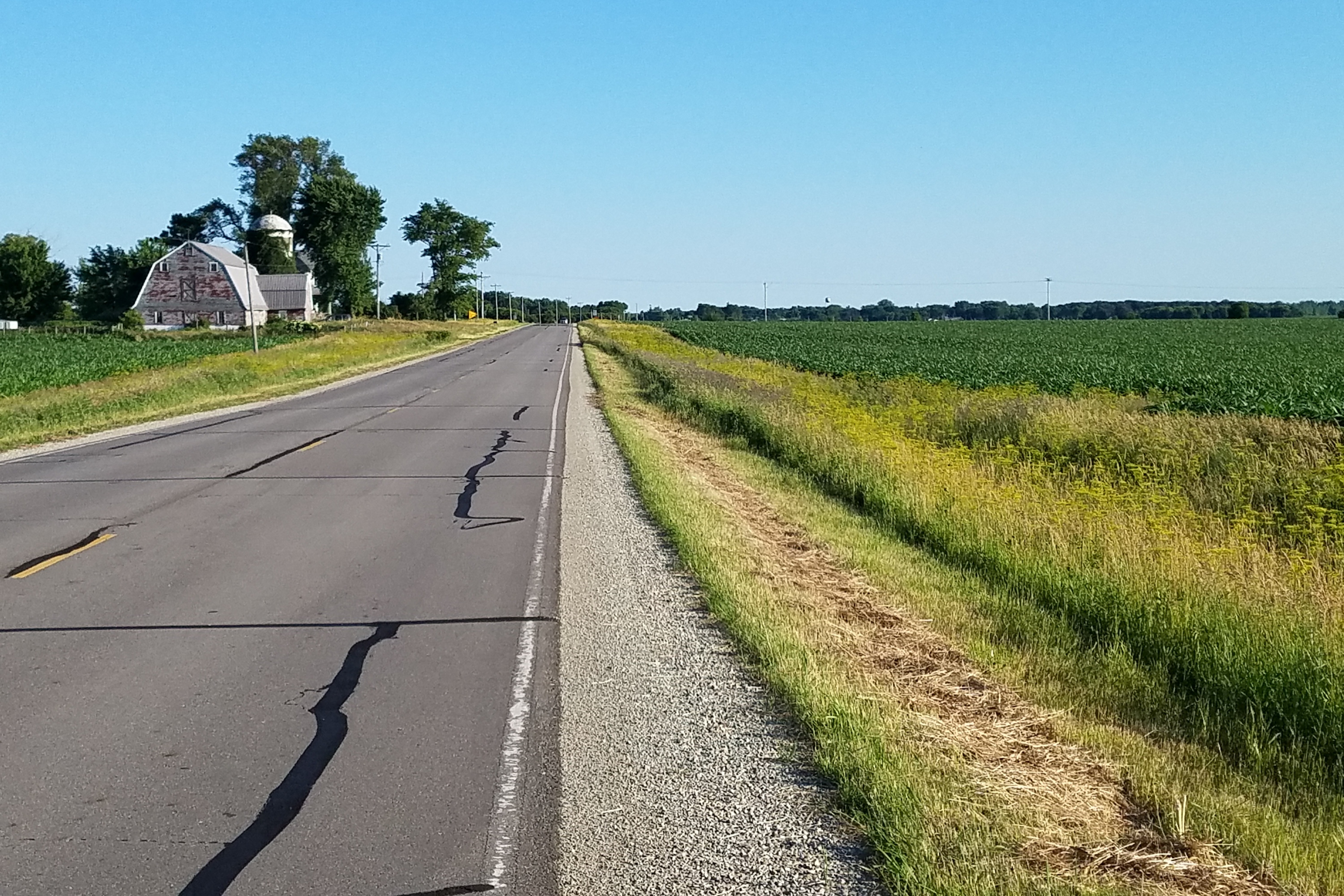
View Looking NE 5X Larger Image 10X |
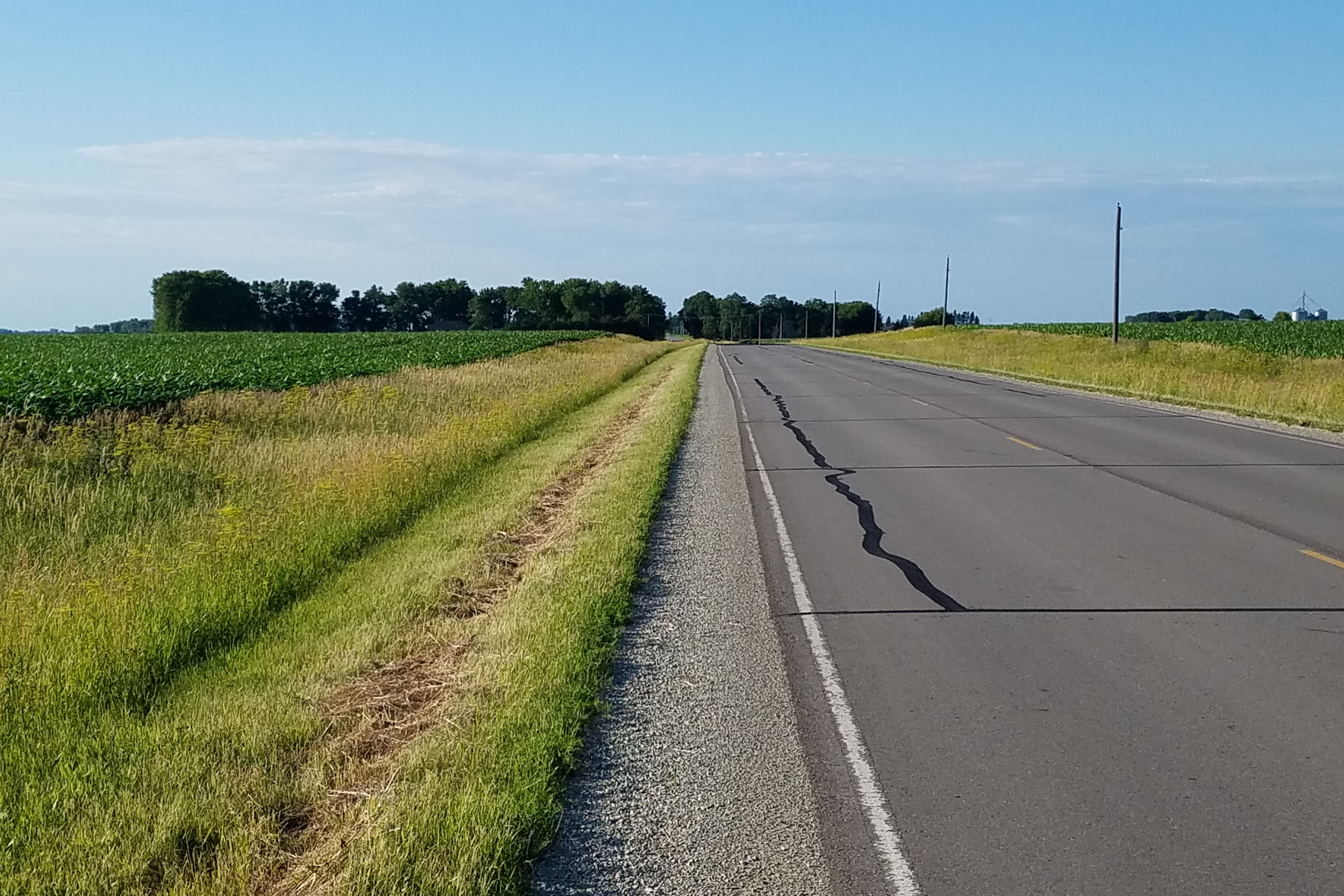
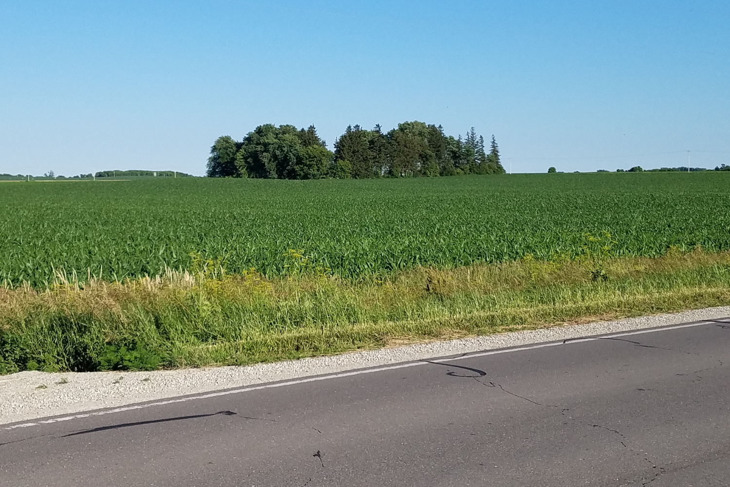
View Looking W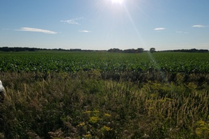 5X Larger Image 10X |
Aerial View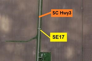 Google Map |
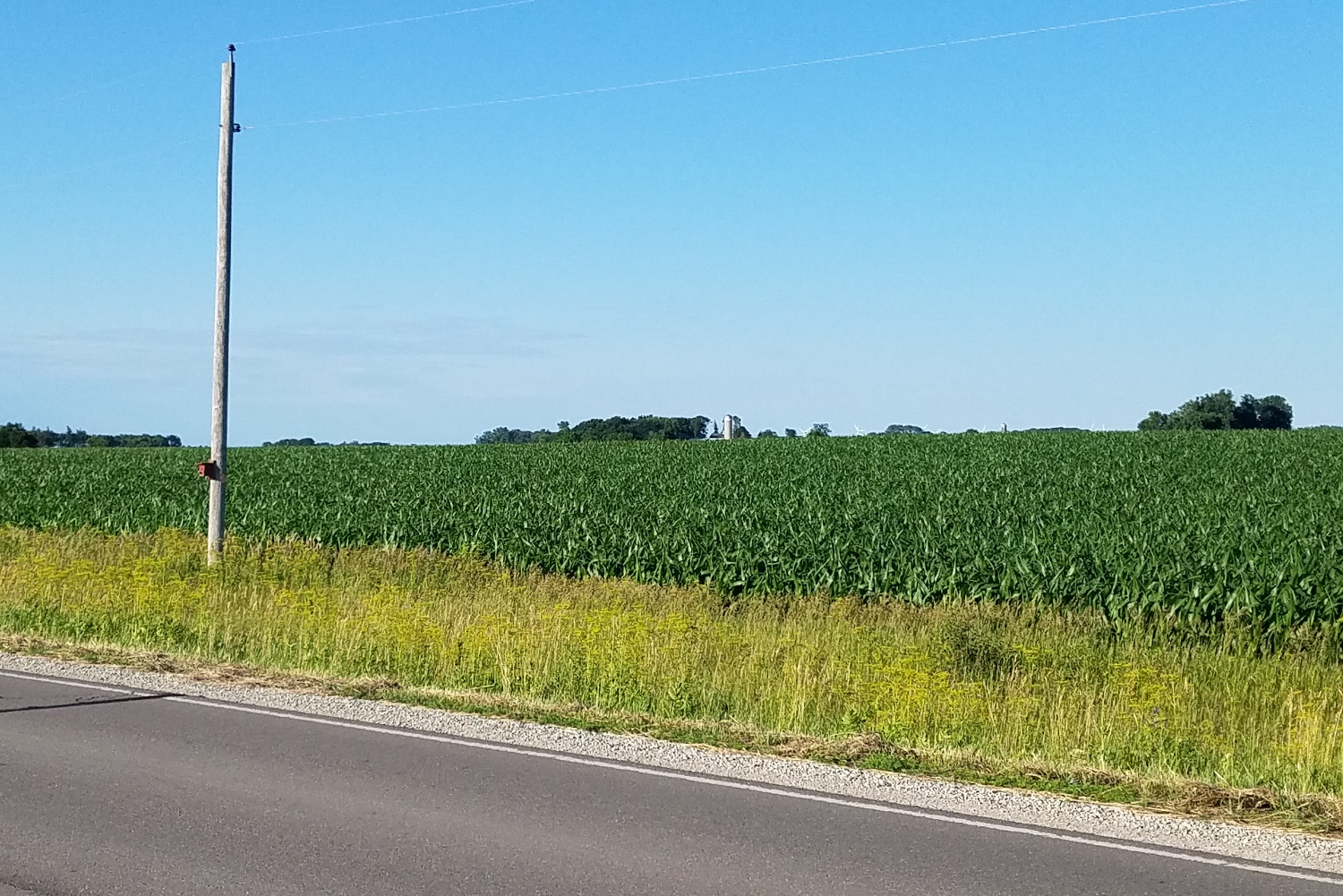
View Looking E 5X Larger Image 10X |
View Looking SW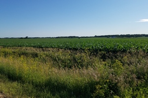 5X Larger Image 10X |
View Looking S 5X Larger Image 10X |
View Looking SE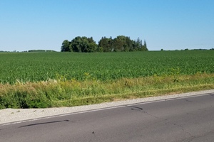 5X Larger Image 10X |
| Copyright 2019 - All Rights Reserved | Updated 12-Jul-2019 |