
| Location | Field access on west side of Steele County Hwy 17 1/2 mile north of Steele County Hwy 9 Opposite drive on east side (5655 NW 52nd Ave) |
|
| Additional Notes |
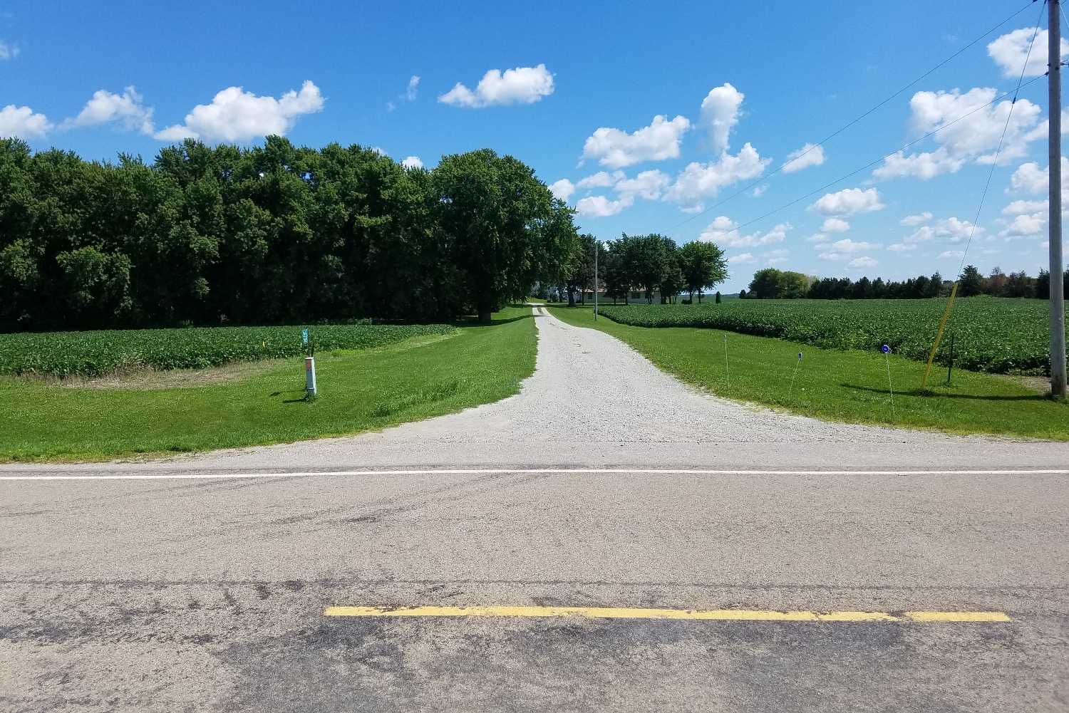
Access is lightly graveled but easy to locate (north of mailboxes) | 44° 09’ 14” N / 93° 18’24” W 44.154064 / -93.306678 USNG: 15T VJ 75476 89030 |
| Exit Routes | North: Steele County Hwy 17 | East: Steele County Hwy 9 (1/2 mile south) | South: Steele County Hwy 17 | West: Steele County Hwy 9 (1/2 mile south) |
| Back to Map | Print pdf | |
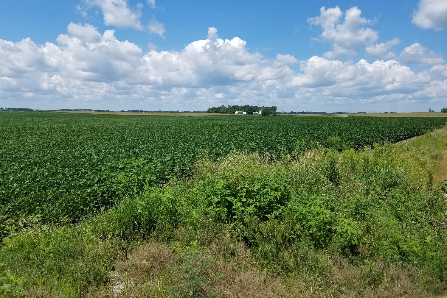
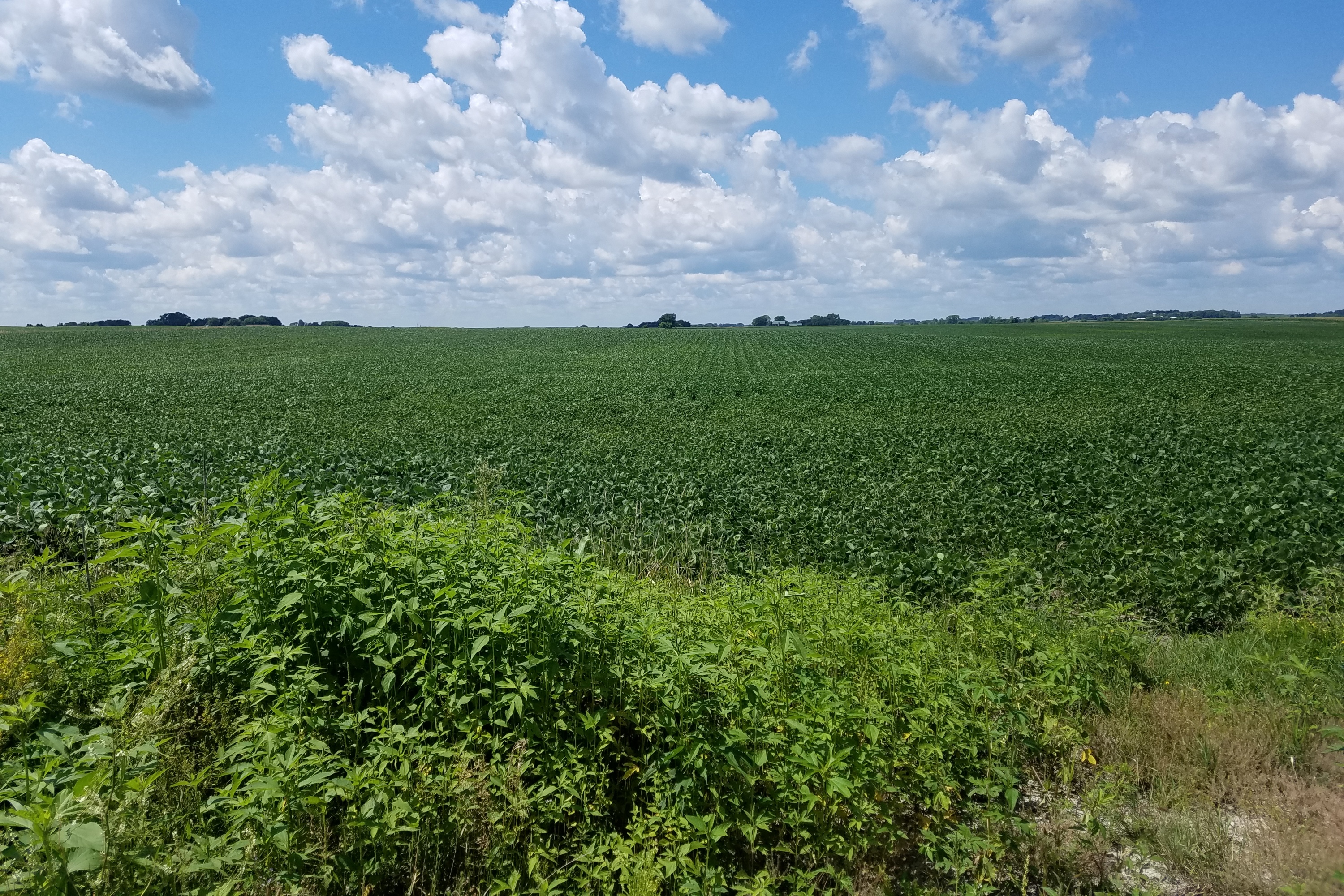
View Looking NW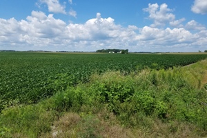 5X Larger Image 10X |
View Looking N 5X Larger Image 10X |
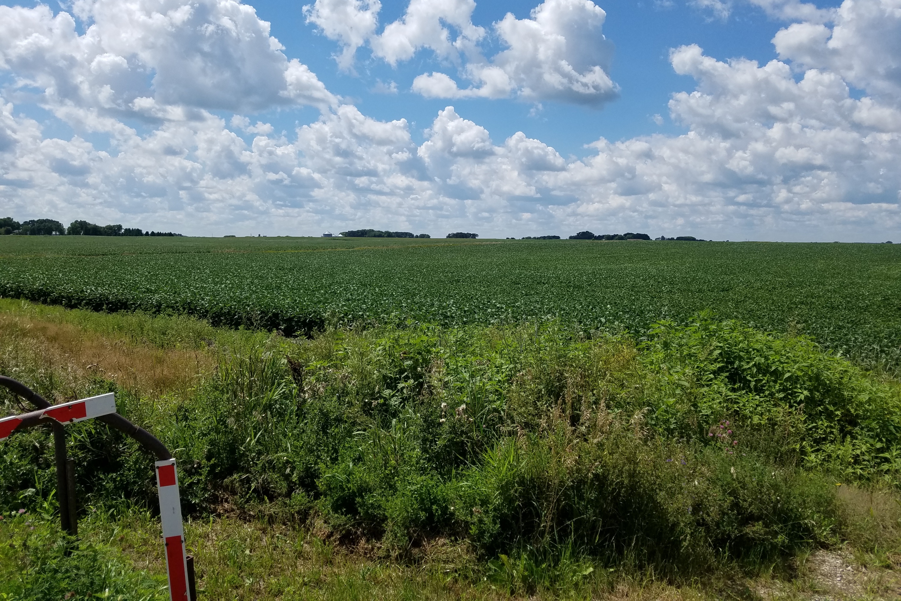
View Looking NE 5X Larger Image 10X |
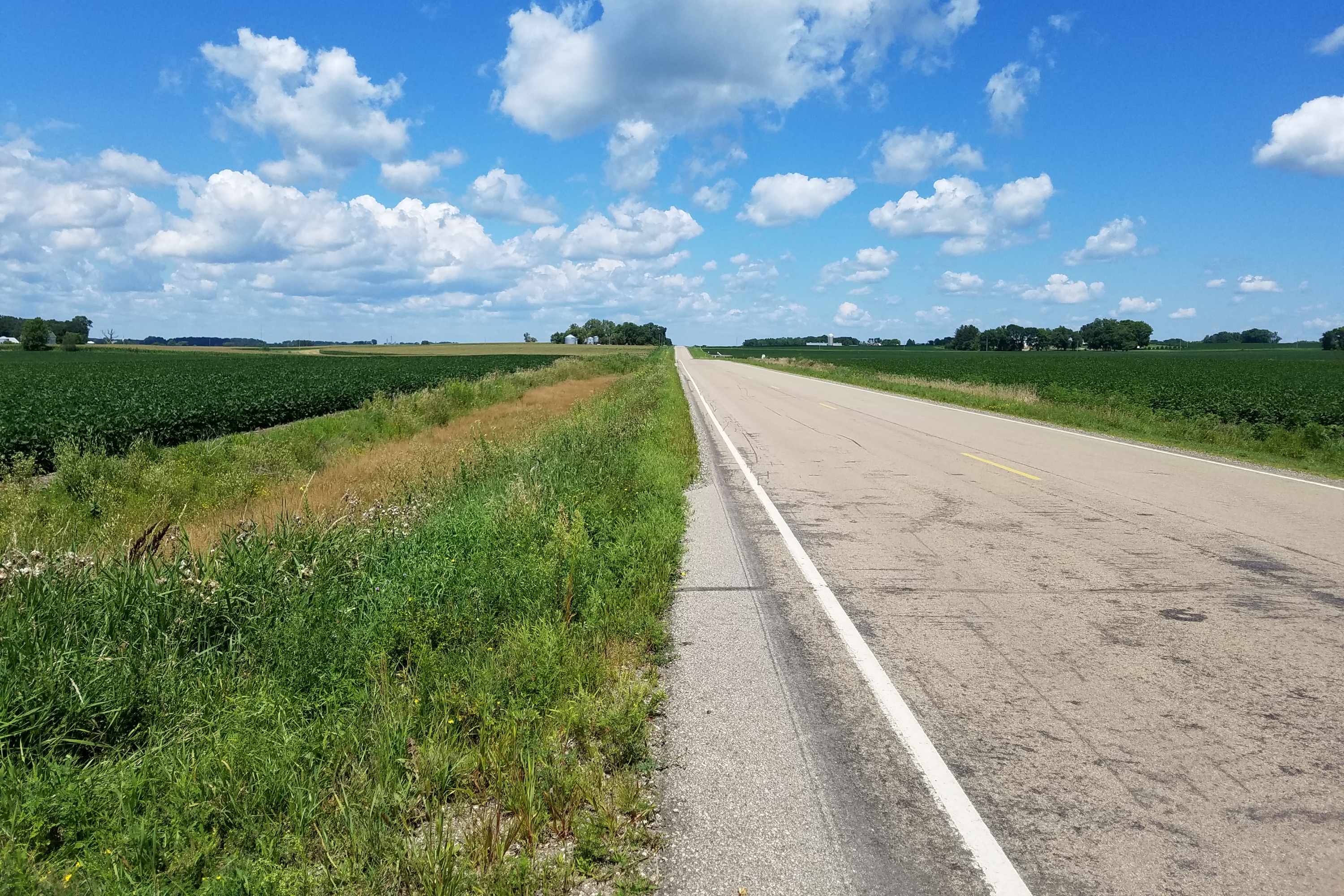
View Looking W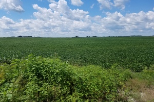 5X Larger Image 10X |
Aerial View Google Map |
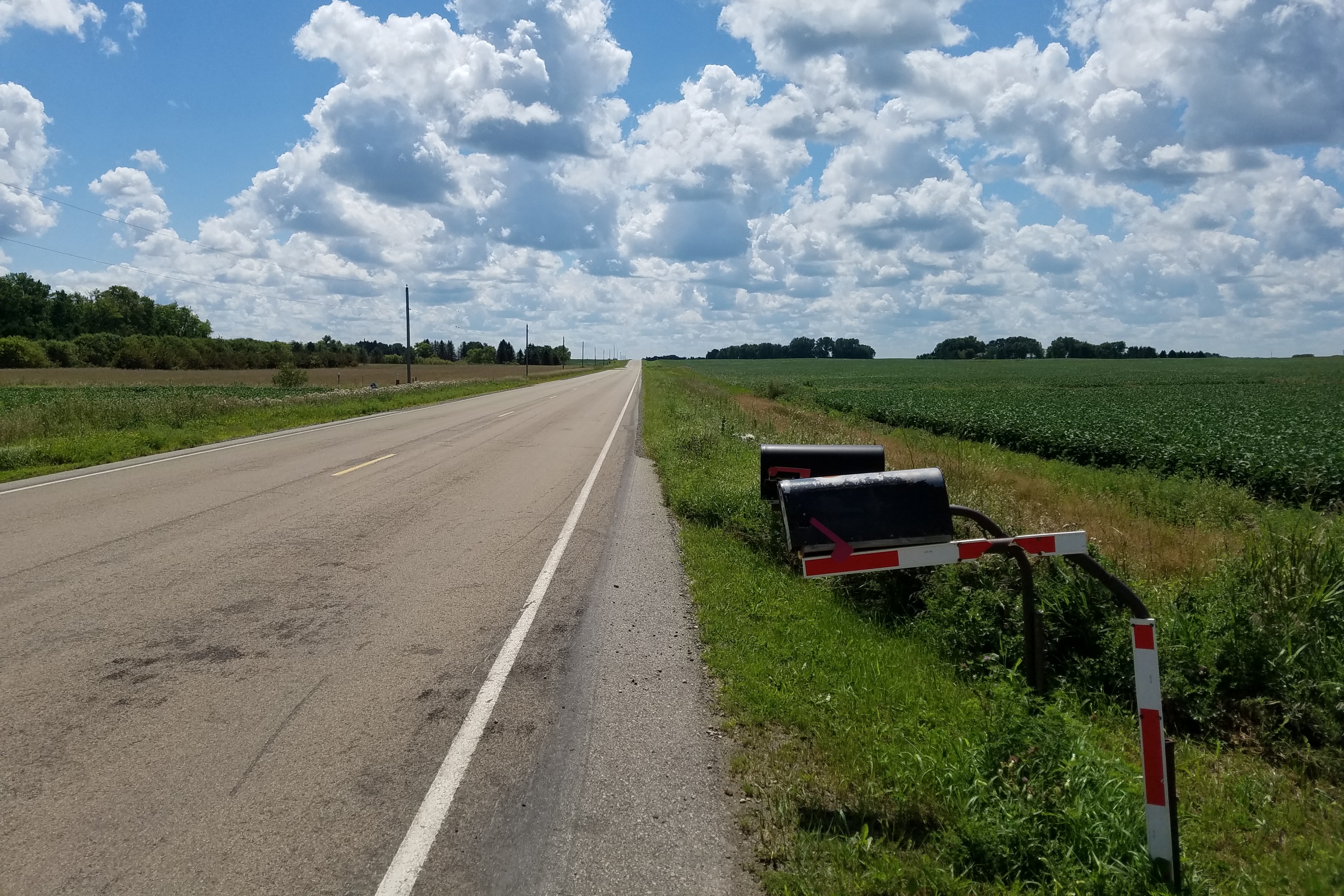
View Looking E 5X Larger Image 10X |
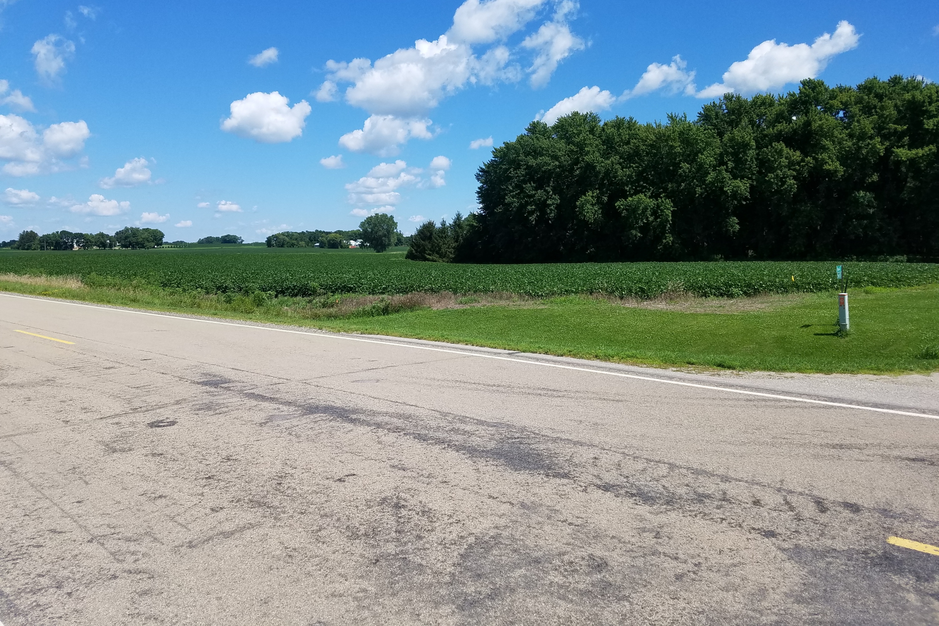
View Looking SW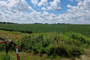 5X Larger Image 10X |
View Looking S 5X Larger Image 10X |
View Looking SE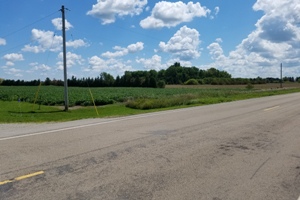 5X Larger Image 10X |
| Copyright 2019 - All Rights Reserved | Updated 09-Ju-2019 |