
| Location | Field Access north side of Steele County Hwy 23 (NW 76th St) 1000 feet east of County Hwy 18 (102nd Ave). |
|
| Additional Notes |
Access is wide and well graveled. Nearby shelter at Blooming Grove Church. |
44° 10’ 54” N / 93°24’ 10” W 44.181759 / -93.402873 USNG: 15T VJ 67798 92139 |
| Exit Routes | North: Steele County Hwy 18 | East: Steele County Hwy 23 | South: Steele County Hwy 18 | West: Waseca County Hwy 62 |
| Back to Map | Print pdf | |
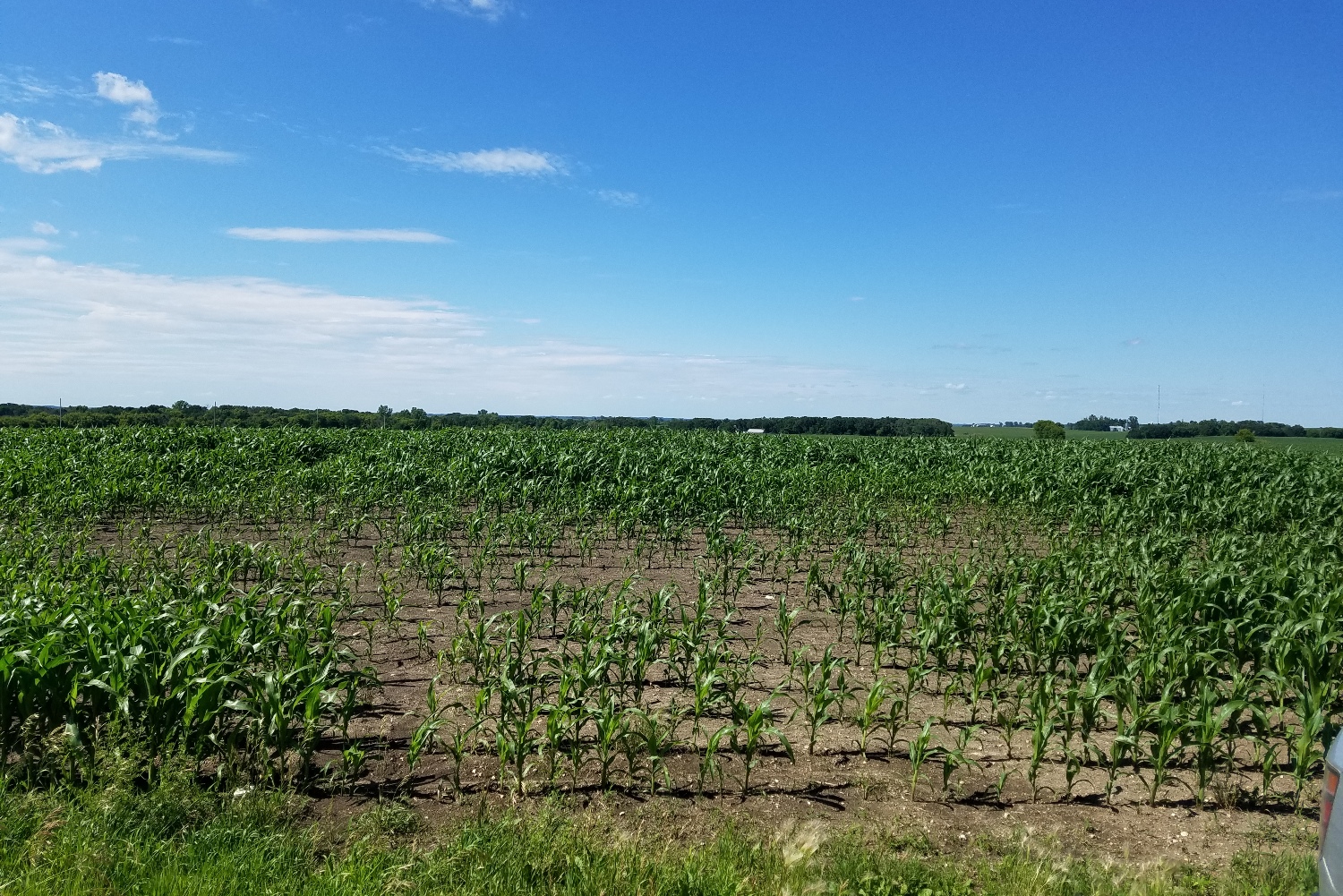
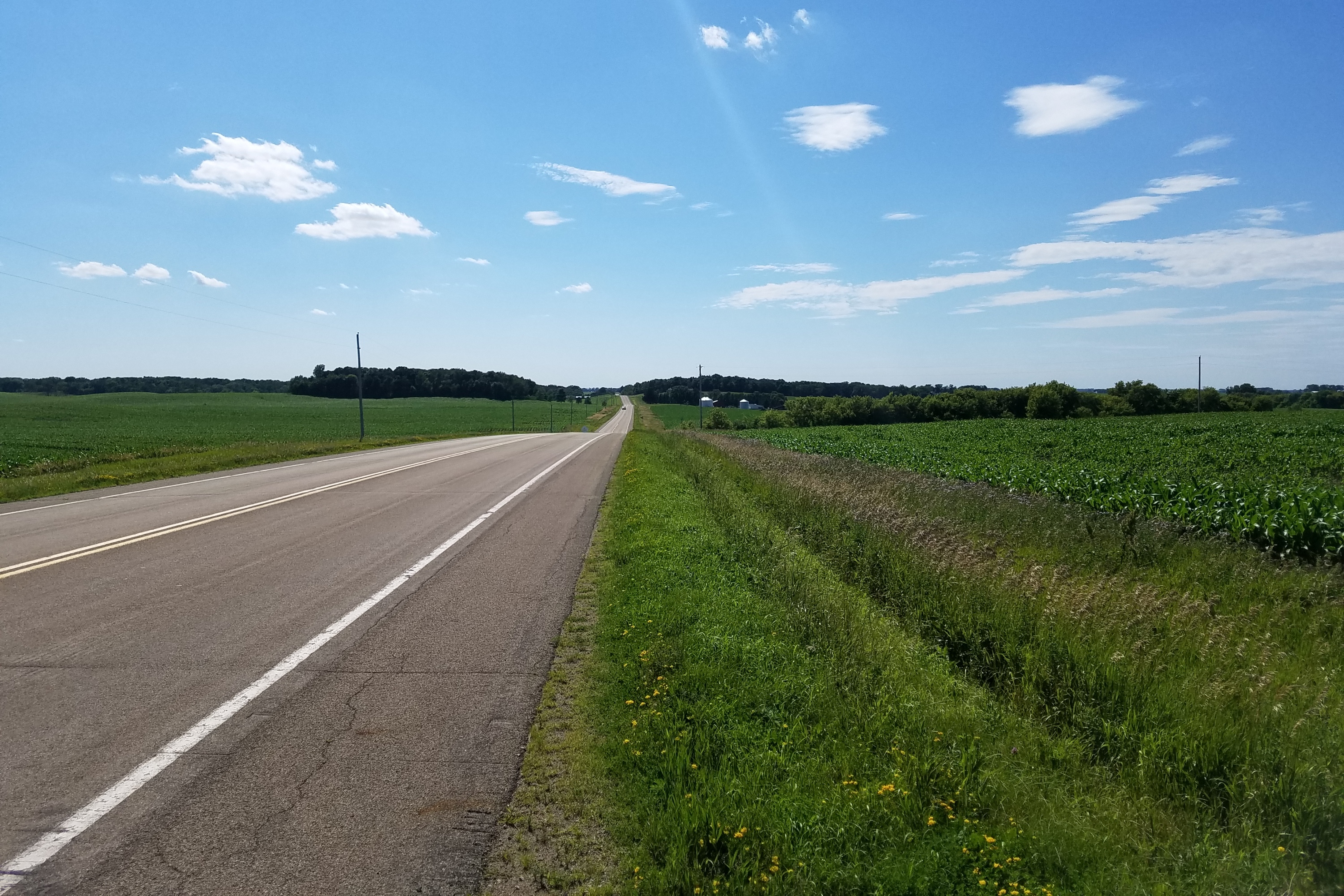
View Looking NW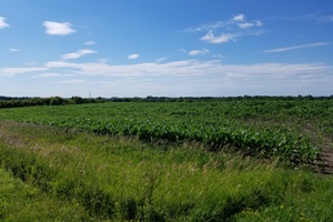 5X Larger Image 10X |
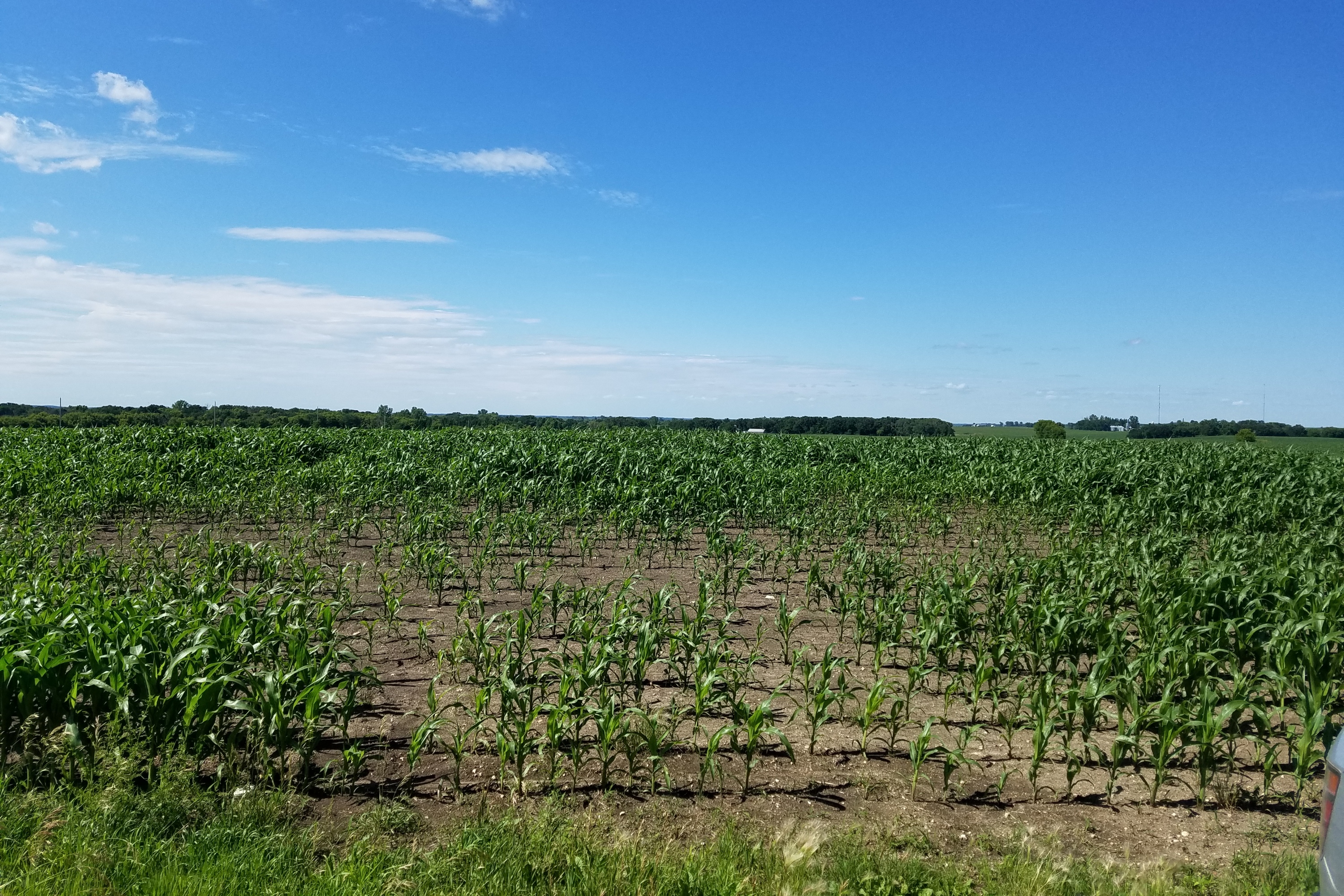
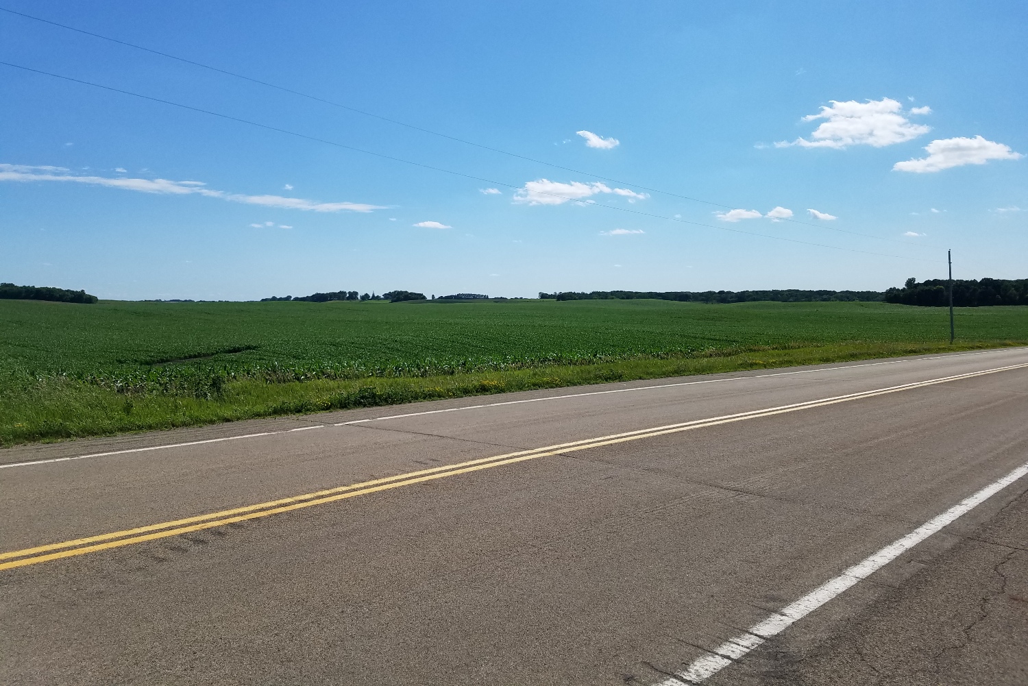
View Looking N 5X Larger Image 10X |
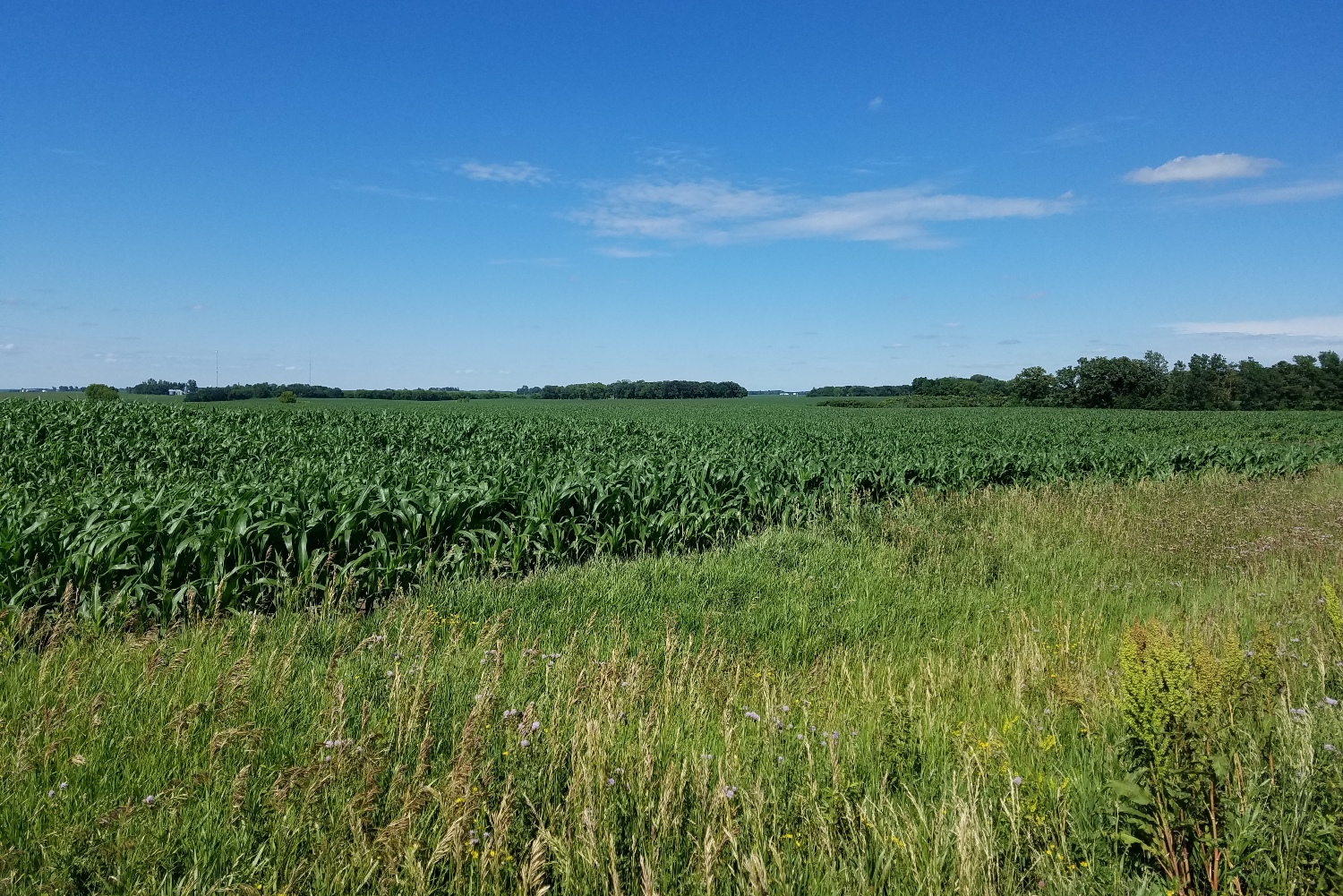
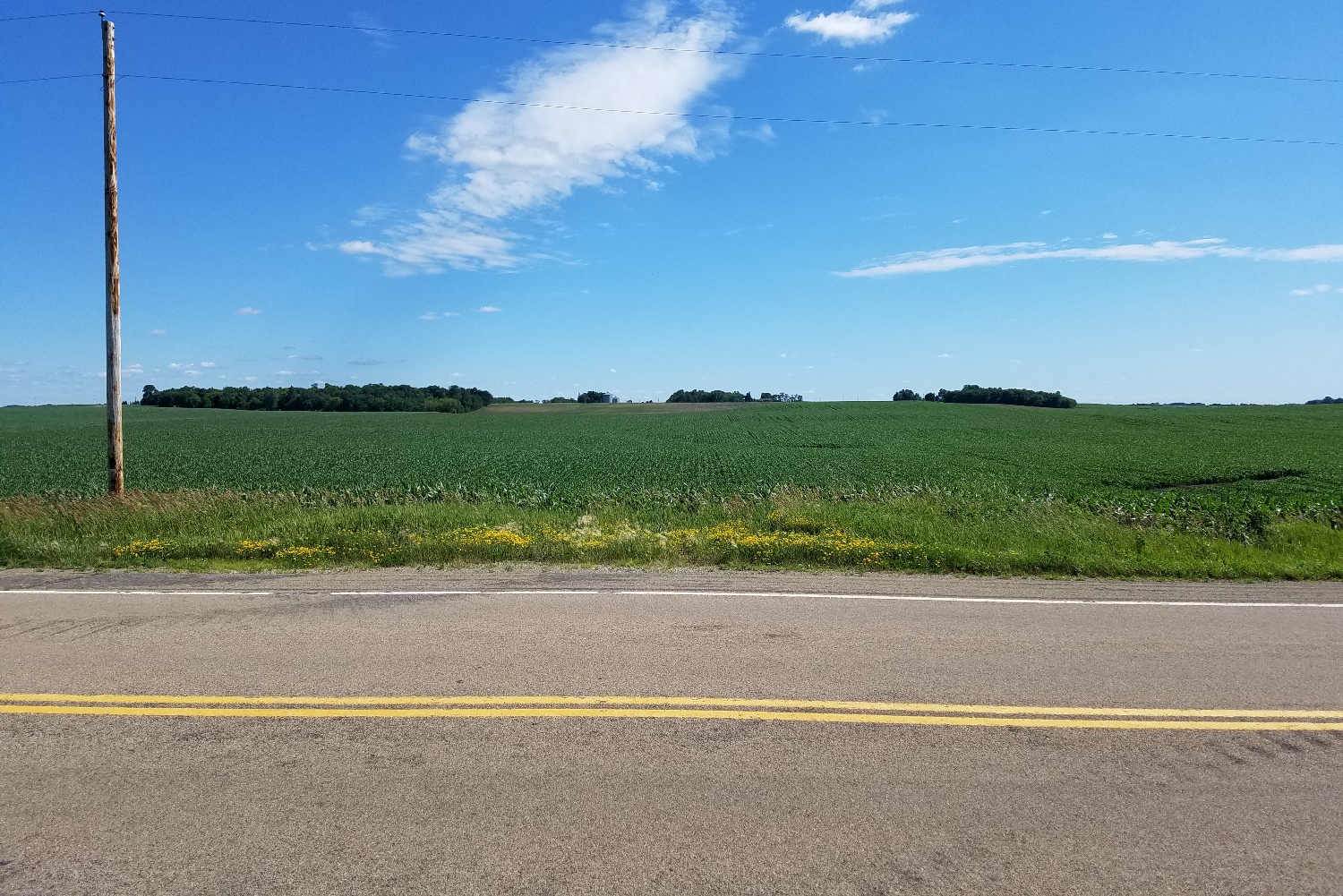
View Looking NE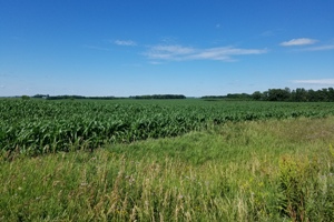 5X Larger Image 10X |
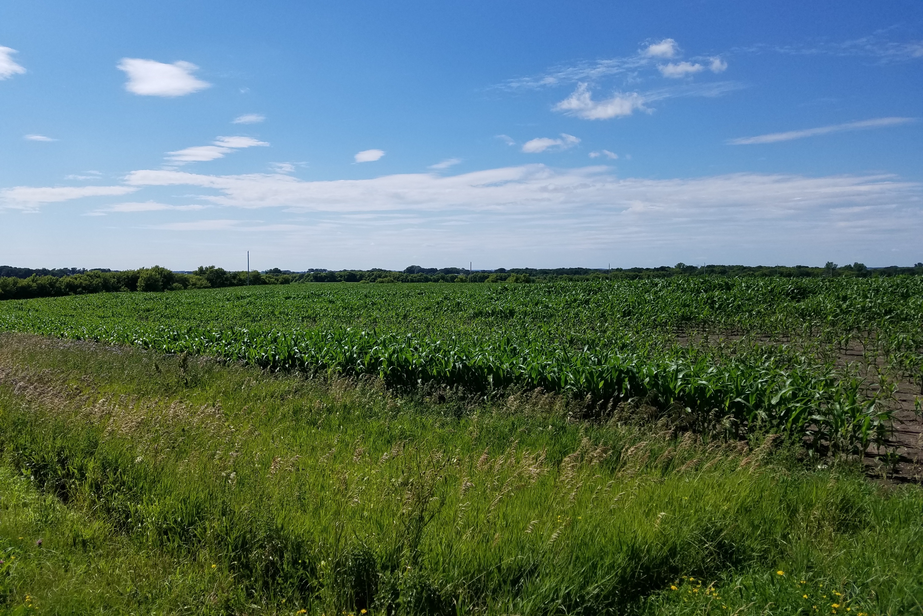
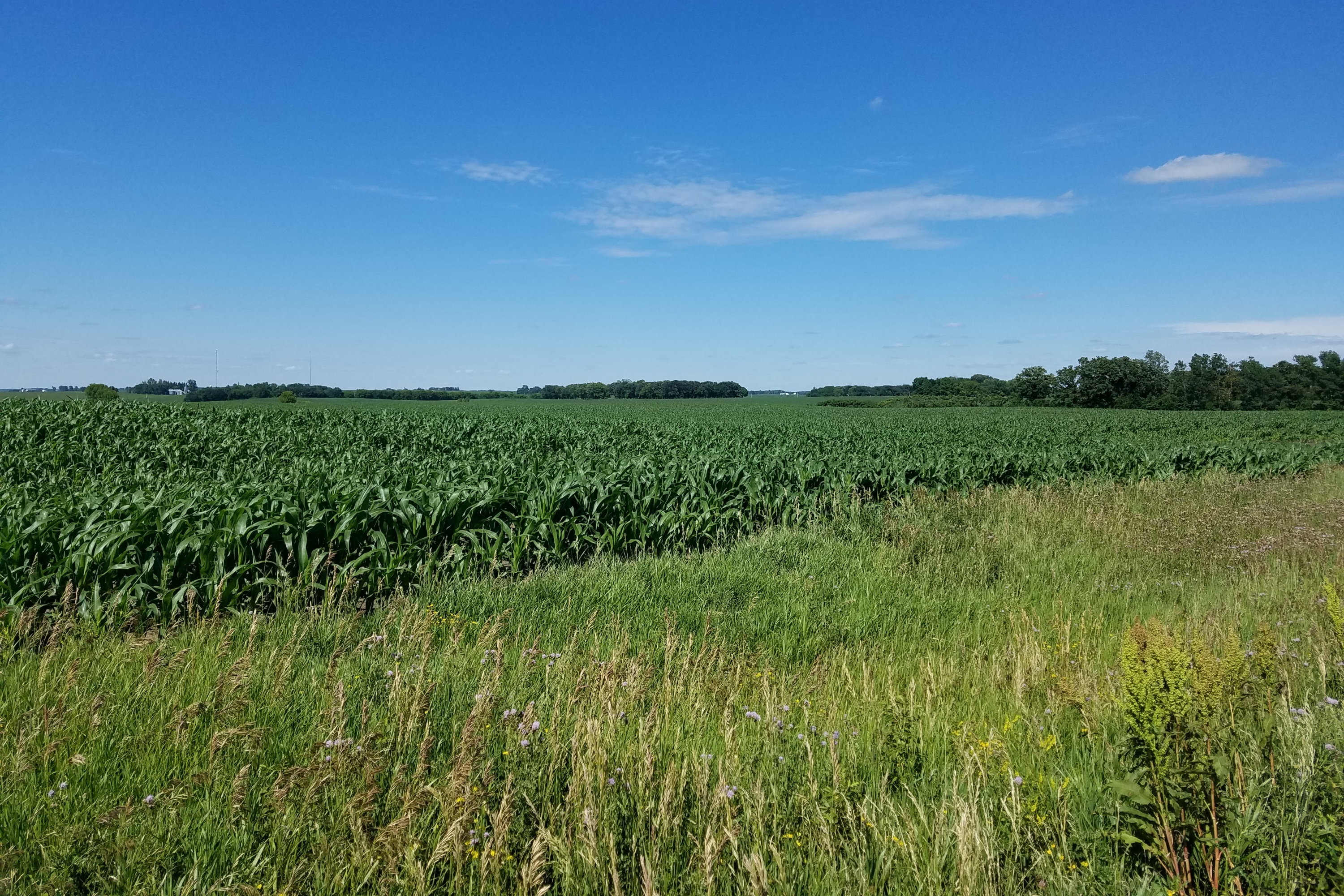
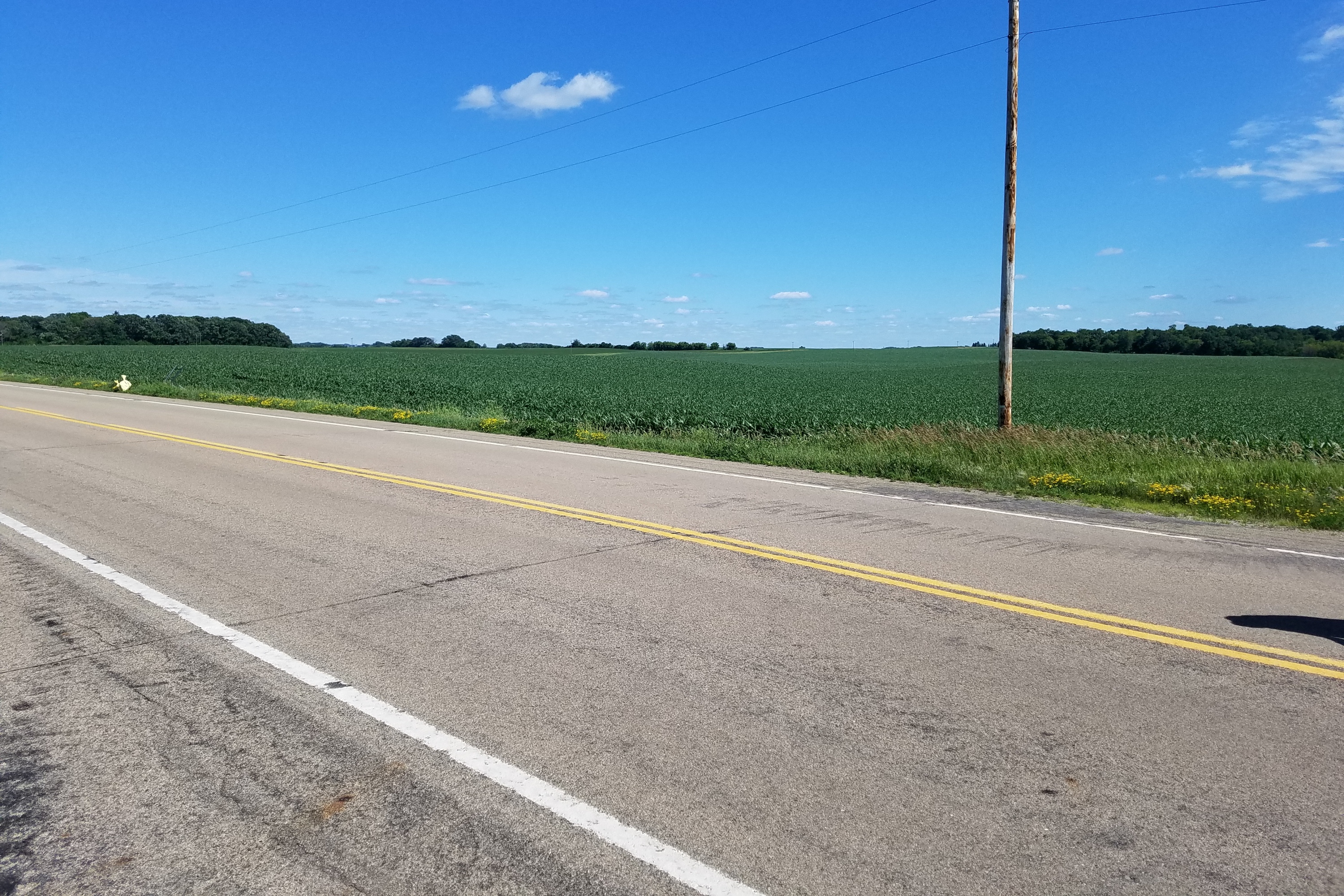
View Looking W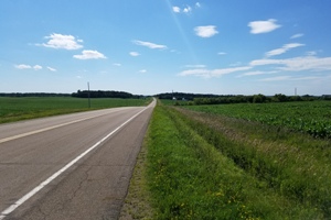 5X Larger Image 10X |
Aerial View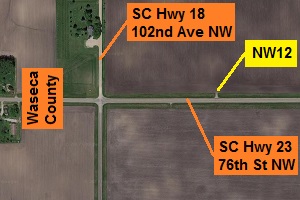 Google Map |
View Looking E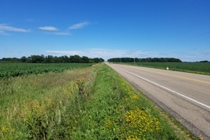 5X Larger Image 10X |
View Looking SW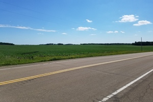 5X Larger Image 10X |
View Looking S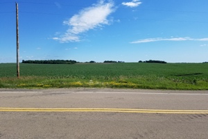 5X Larger Image 10X |
View Looking SE 5X Larger Image 10X |
| Copyright 2019 - All Rights Reserved | Updated 09-Jul-2019 |