
| Location | Field Access north side of Steele County Hwy 23 (NW 76th St) 500 feet east of 73rd Ave. |
|
| Additional Notes |
Access is well graveled. Deep drop off on opposite side of road. |
44° 10’ 56” N / 93° 21’ 16” W 44.182219 / -93.354422 USNG: 15T VJ 71671 92172 |
| Exit Routes | North: CAUTION: NO North-South Exit | East: Steele County Hwy 23 | South: CAUTION: NO North-South Exit | West: Steele County Hwy 23 |
| Back to Map | Print pdf | |
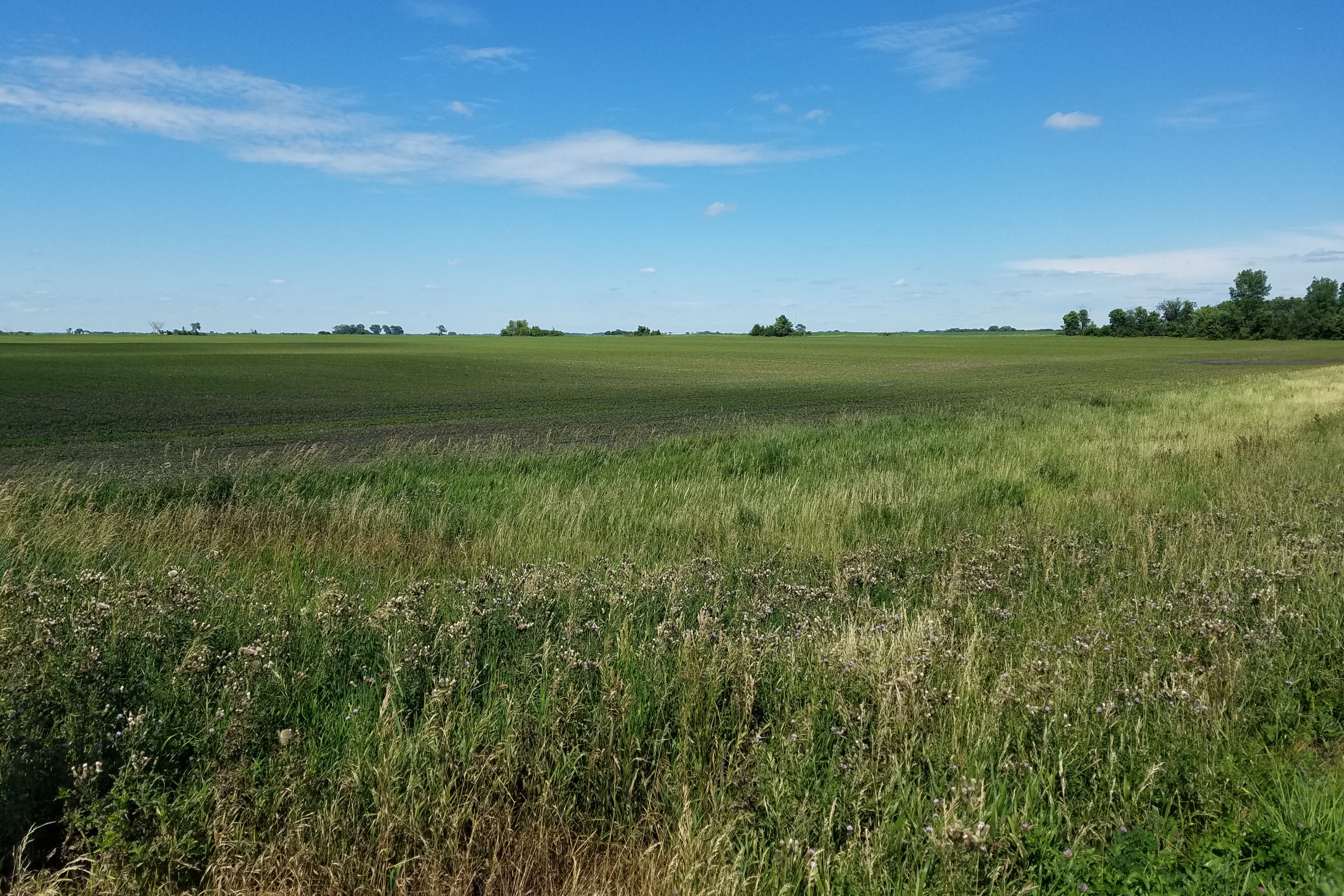
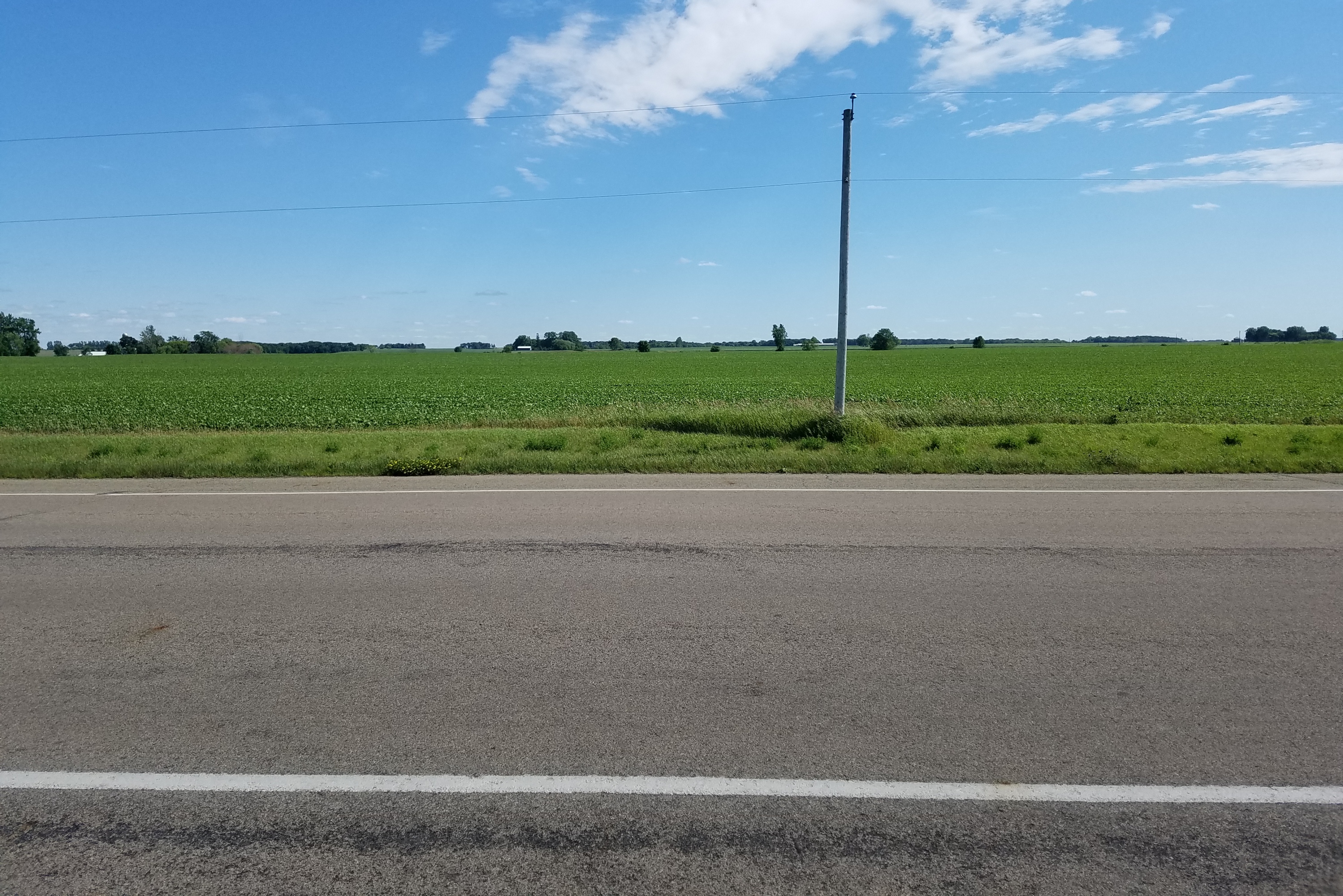
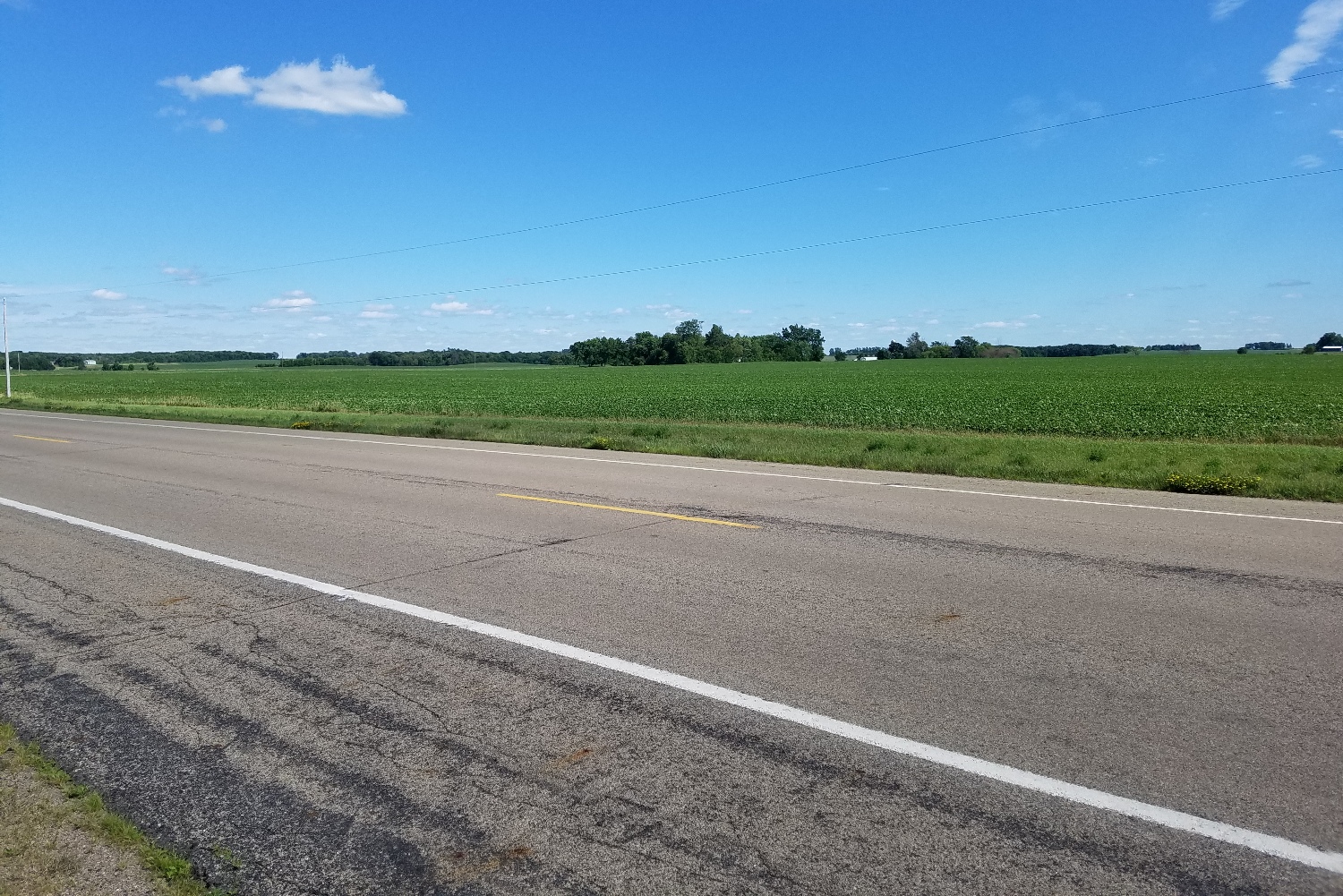
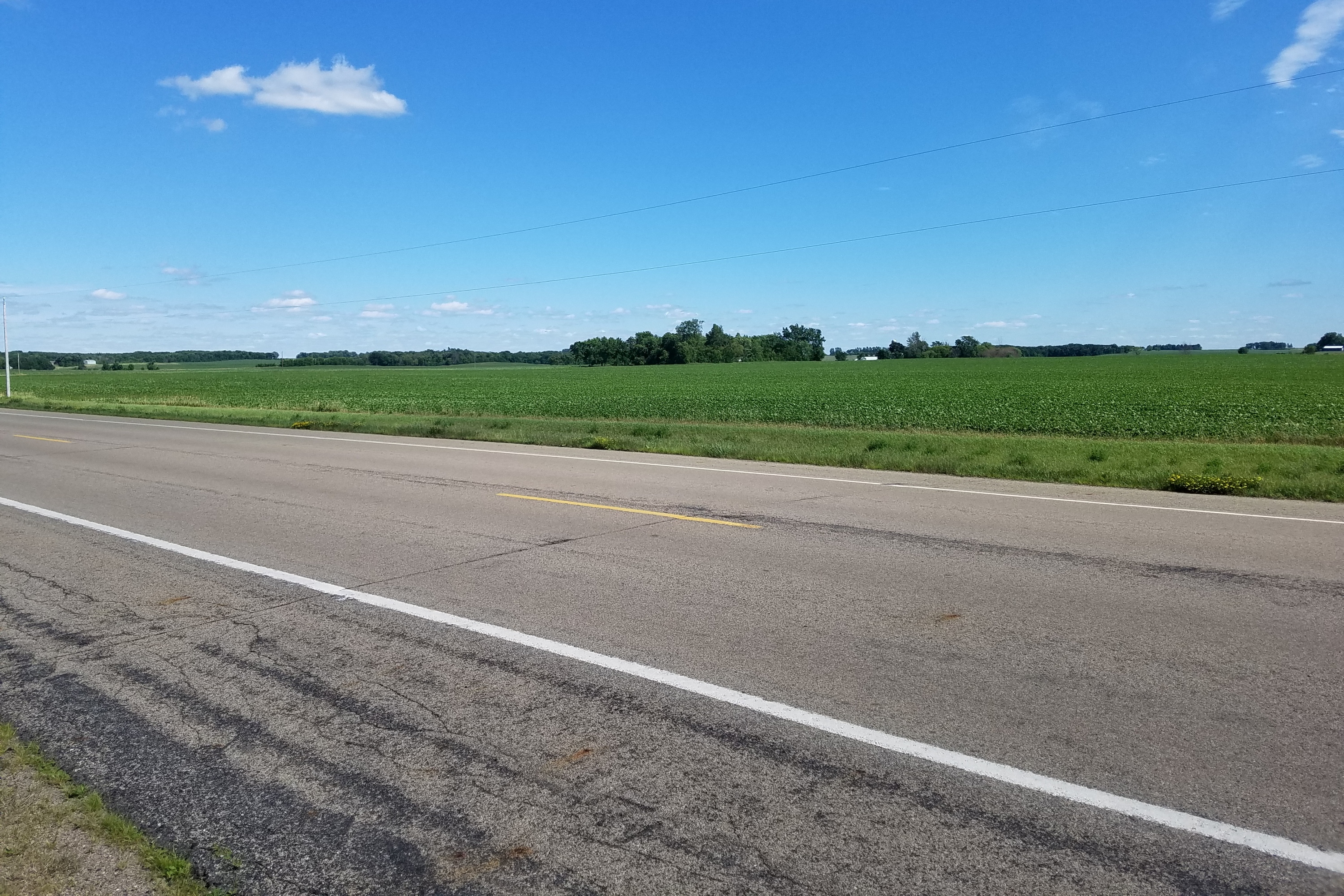
View Looking NW 5X Larger Image 10X |
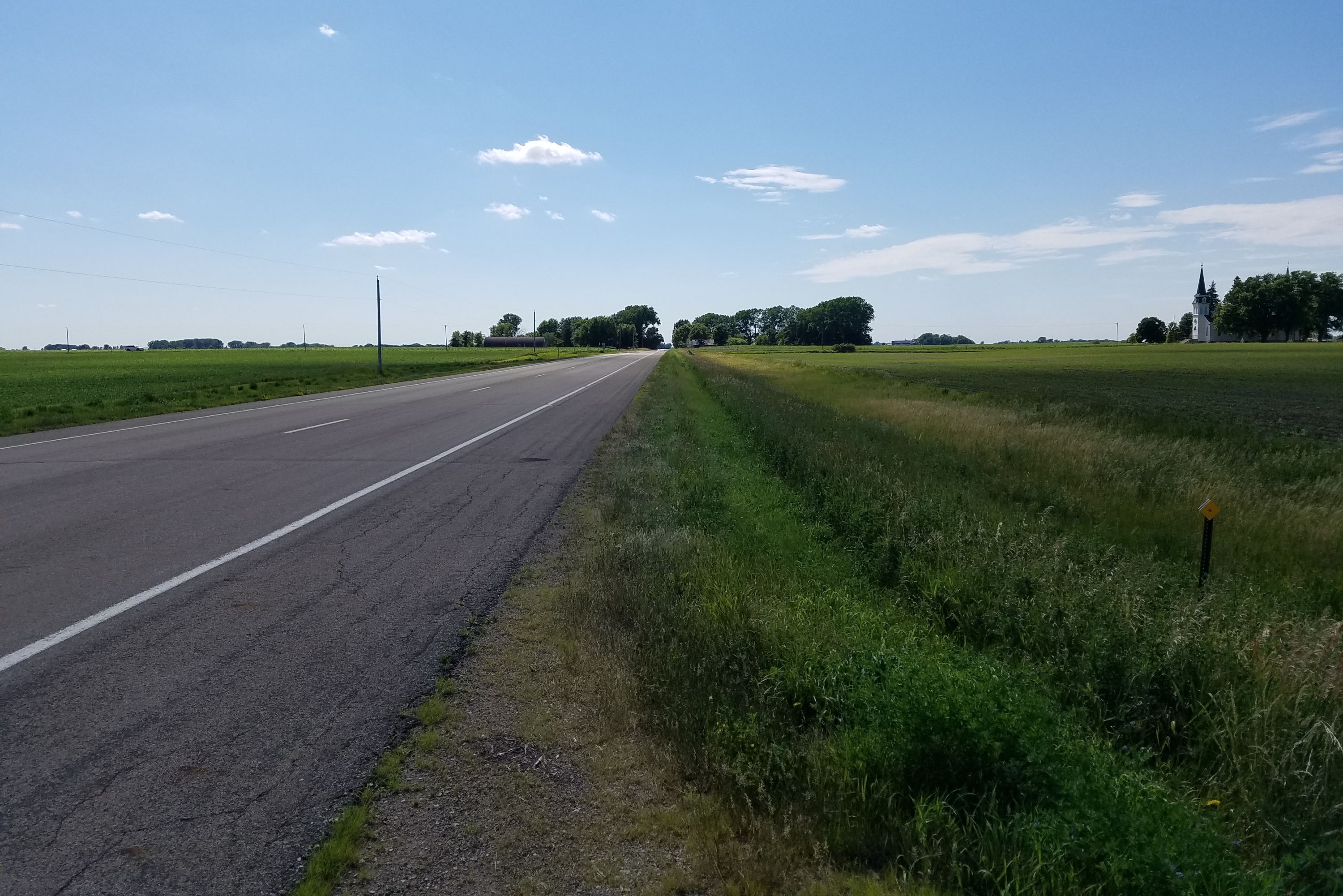
View Looking N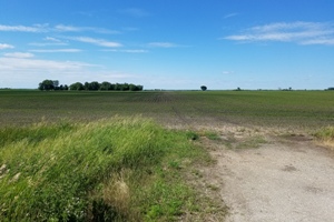 5X Larger Image 10X |
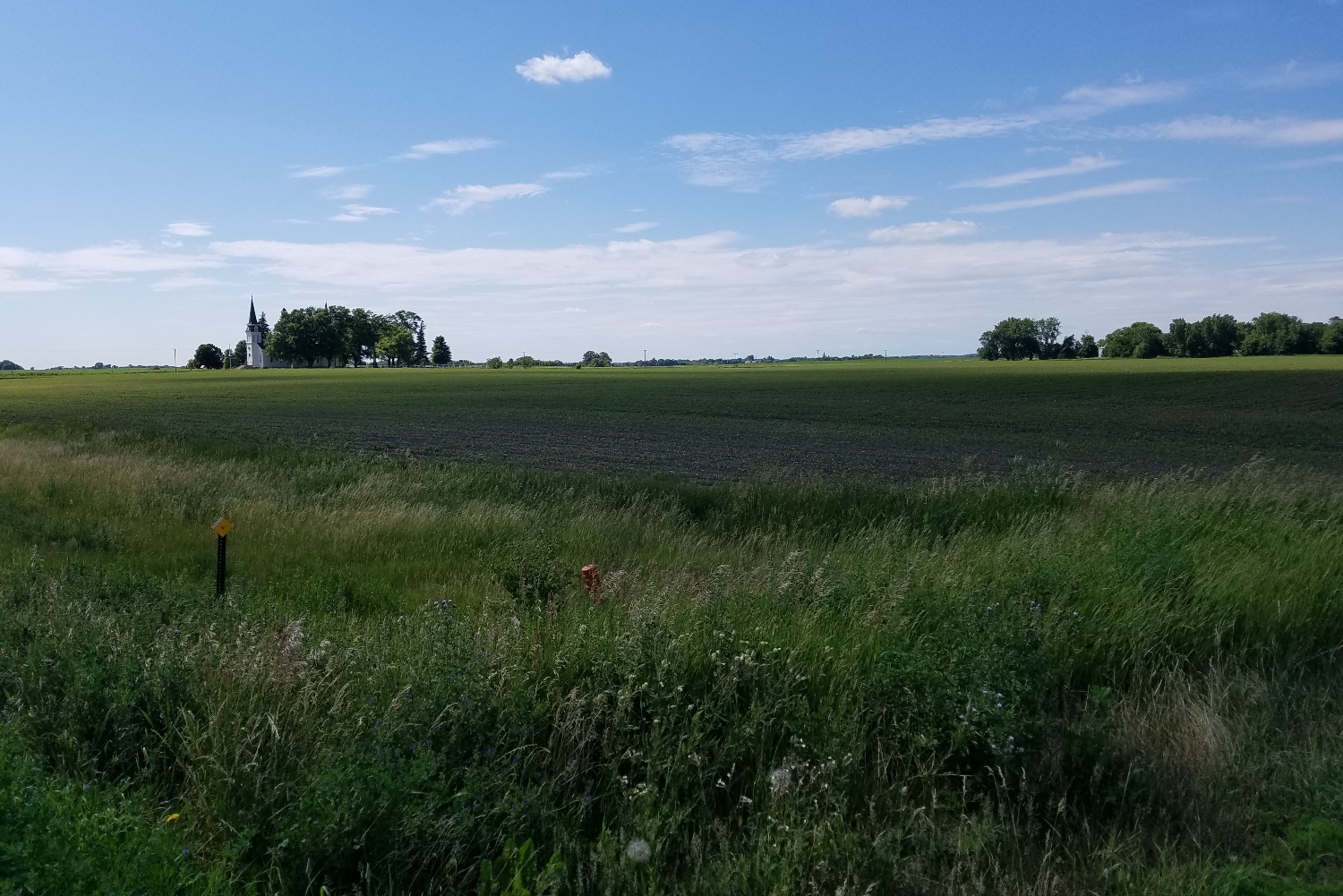
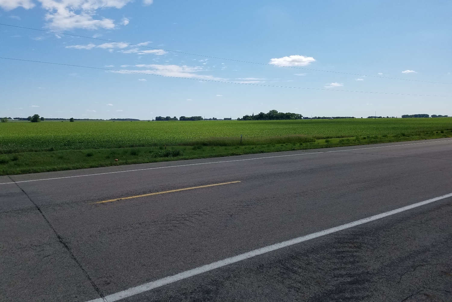
View Looking NE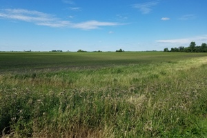 5X Larger Image 10X |
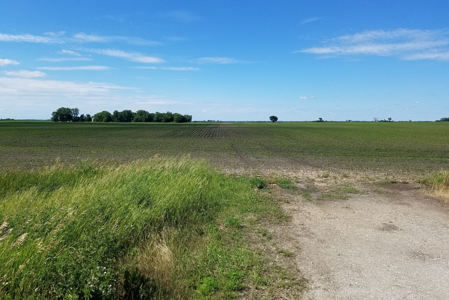
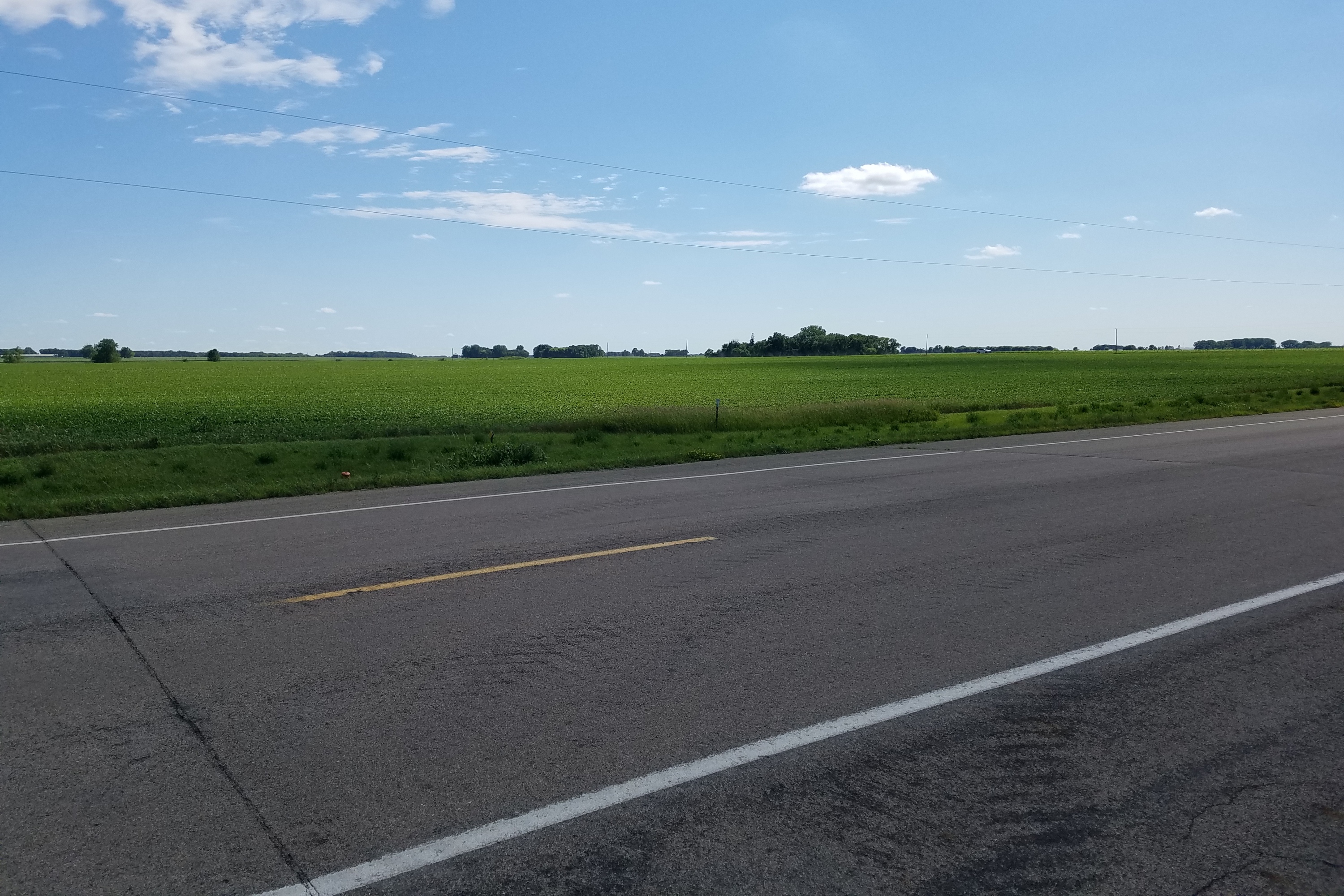
View Looking W 5X Larger Image 10X |
Aerial View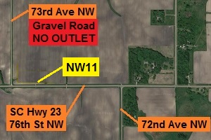 Google Map |
View Looking E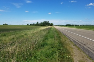 5X Larger Image 10X |
View Looking SW 5X Larger Image 10X |
View Looking S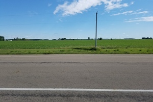 5X Larger Image 10X |
View Looking SE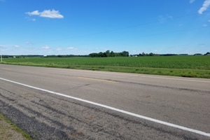 5X Larger Image 10X |
| Copyright 2019 - All Rights Reserved | Updated 09-Jul-2018 |