
| Location | Field Access on west side of Steele County Hwy 35 (Dane Road) Halfway through north/south segment of S-turns. |
|
| Additional Notes |
Powerlines overhead. 64th Ave to the east is a gravel road. |
44° 06’ 25” N / 93° 06’ 41” W 44.106953 / -93.111406 USNG: 15T VJ 91084 83758 |
| Exit Routes | North: Steele County Hwy 43 (1.5 miles west) | East: Steele County Hwy 35 | South: Steele County Hwy 43 (1.5 miles west) | West: Steele County Hwy 35 |
| Back to Map | Print pdf | |
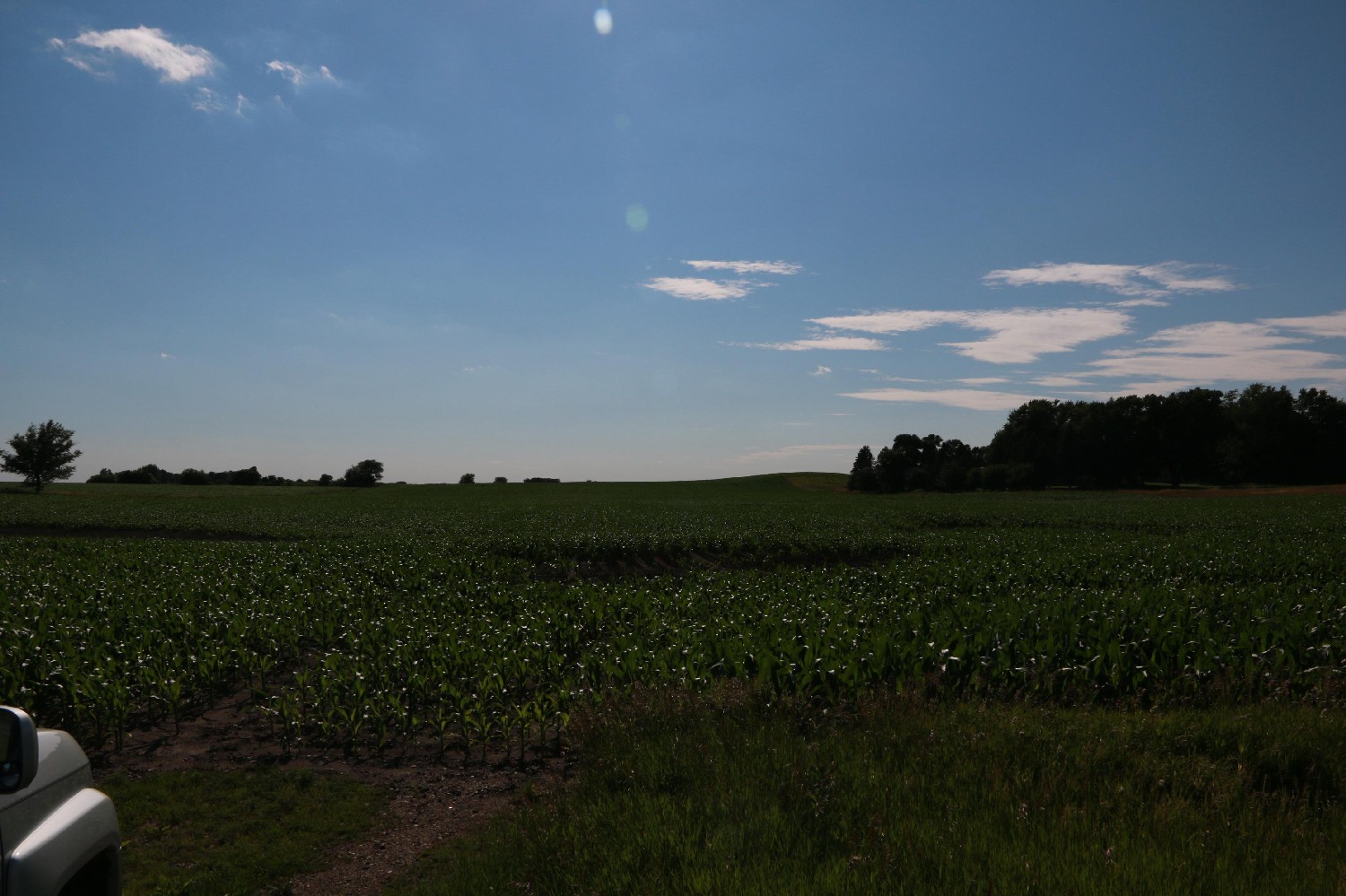
View Looking NW 5X Larger Image 10X |
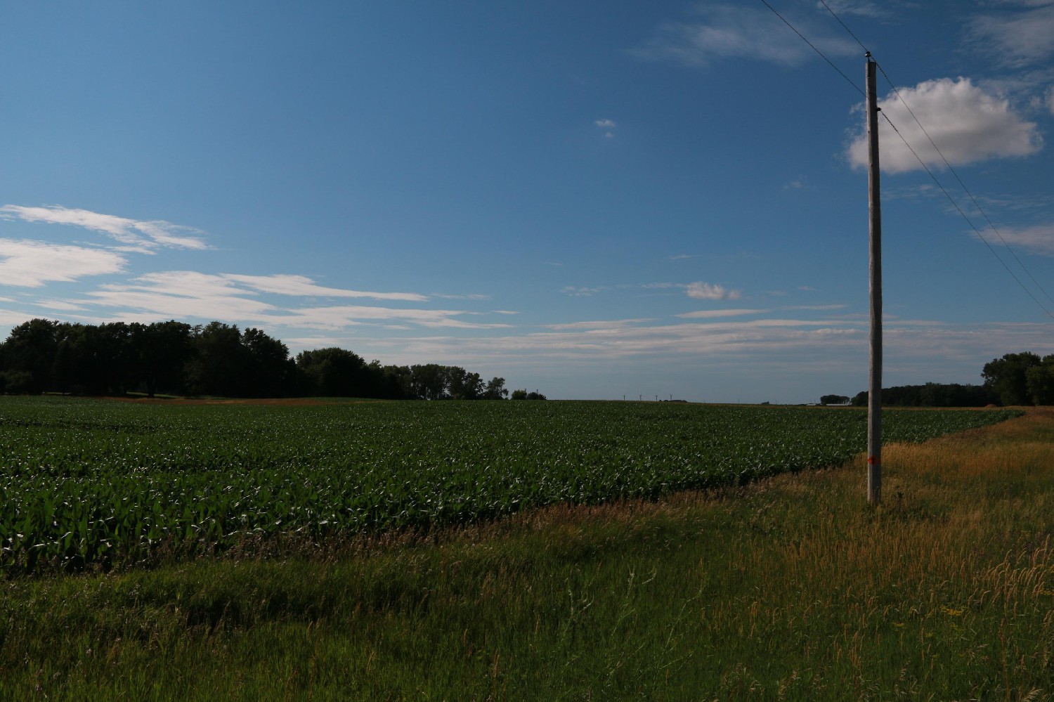
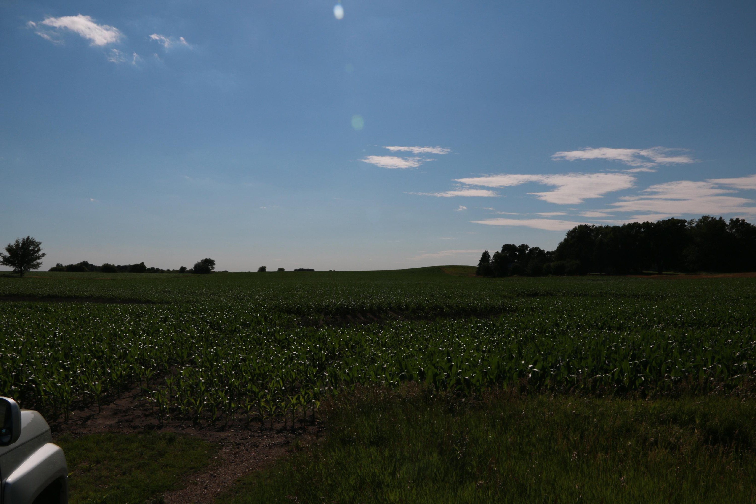
View Looking N 5X Larger Image 10X |
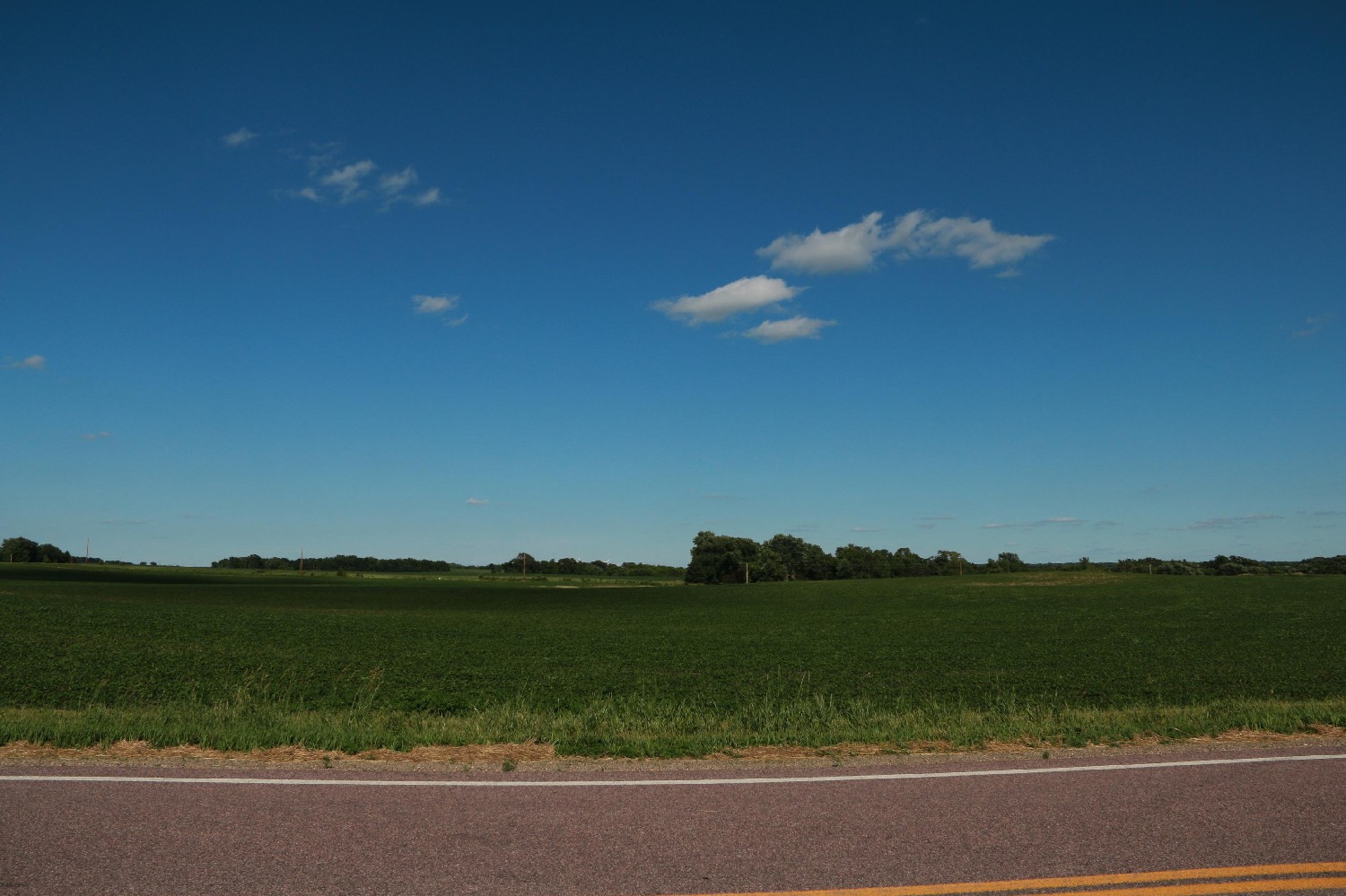
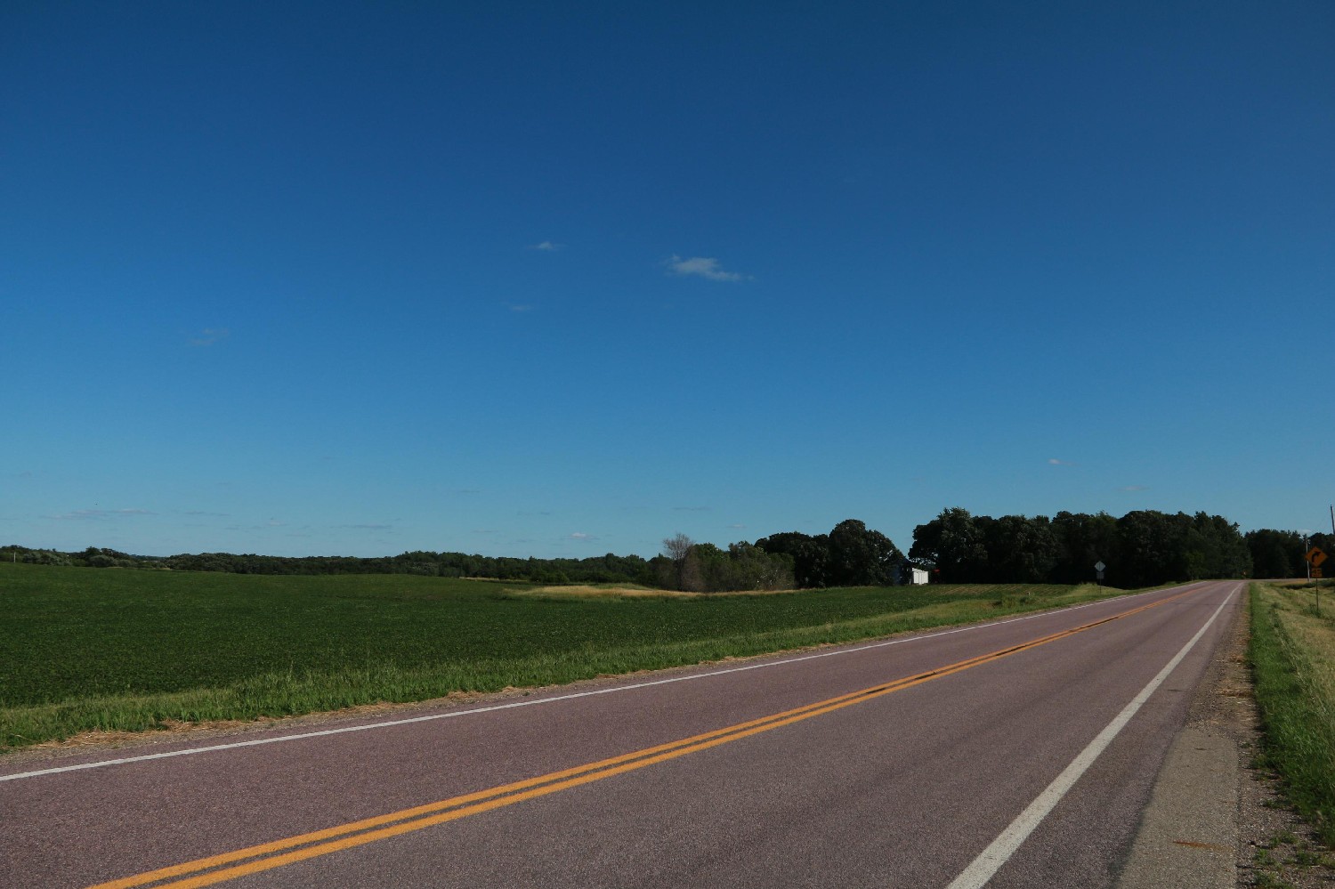
View Looking NE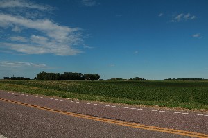 5X Larger Image 10X |
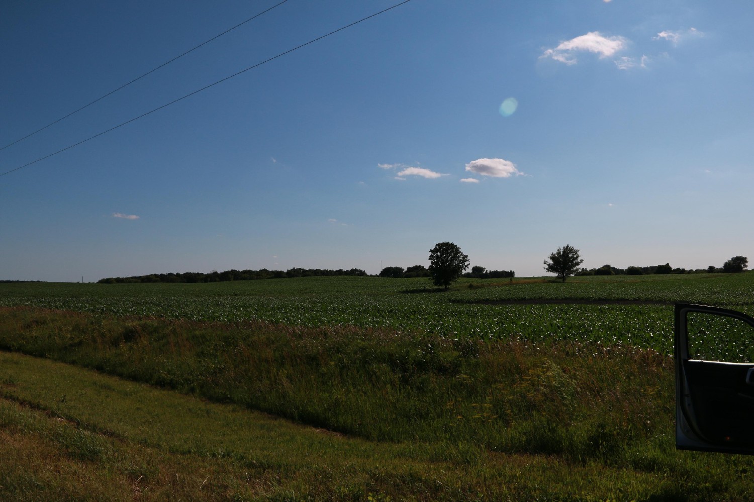
View Looking W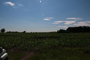 5X Larger Image 10X |
Aerial View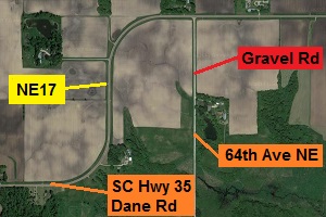 Google Map |
View Looking E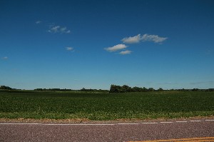 5X Larger Image 10X |
View Looking SW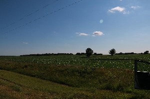 5X Larger Image 10X |
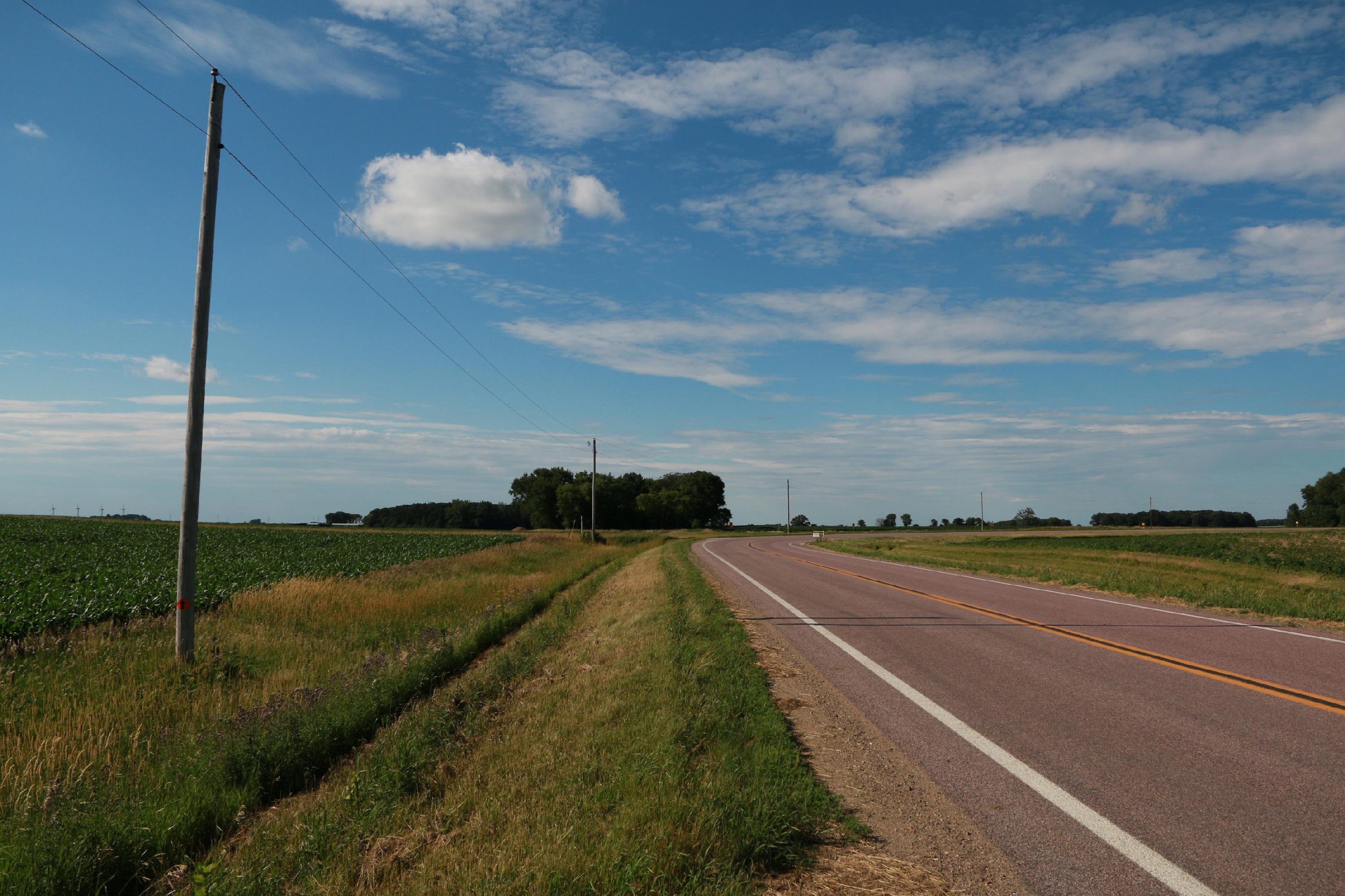
View Looking S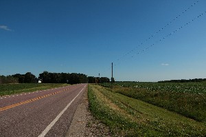 5X Larger Image 10X |
View Looking SE 5X Larger Image 10X |
| Copyright 2019 - All Rights Reserved | Updated 01-Jul-2019 |