
| Location | Field Access on south side of Steele County 12 (60th St NE) 1,300 feet (1/4 mile) west of 74th Ave NE 2.75 miles east of Merton Town Hall |
|
| Additional Notes |
Access is well graveled. | 44° 09’ 37” N / 93° 05’ 27” W 44.160464 / -93.091024 USNG: 15T VJ 92721 89699 |
| Exit Routes | North: NONE | East: Steele County Hwy 12 | South: NONE | West: Steele County Hwy 12 |
| Back to Map | Print pdf | |
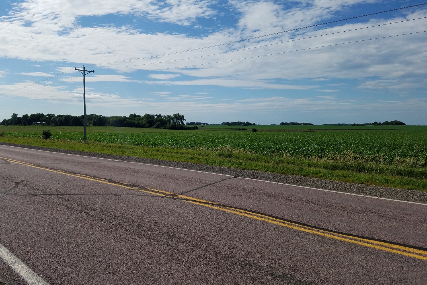
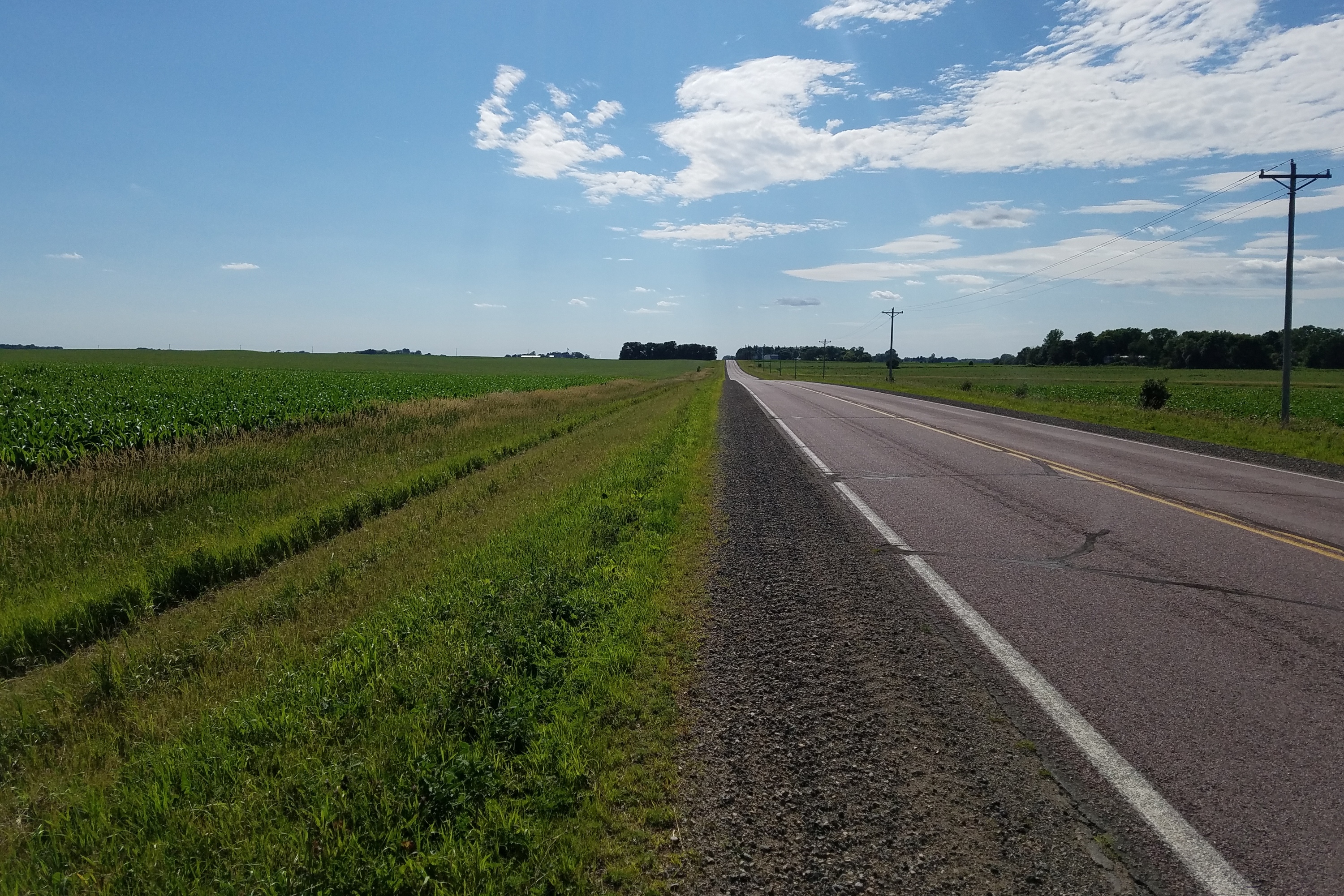
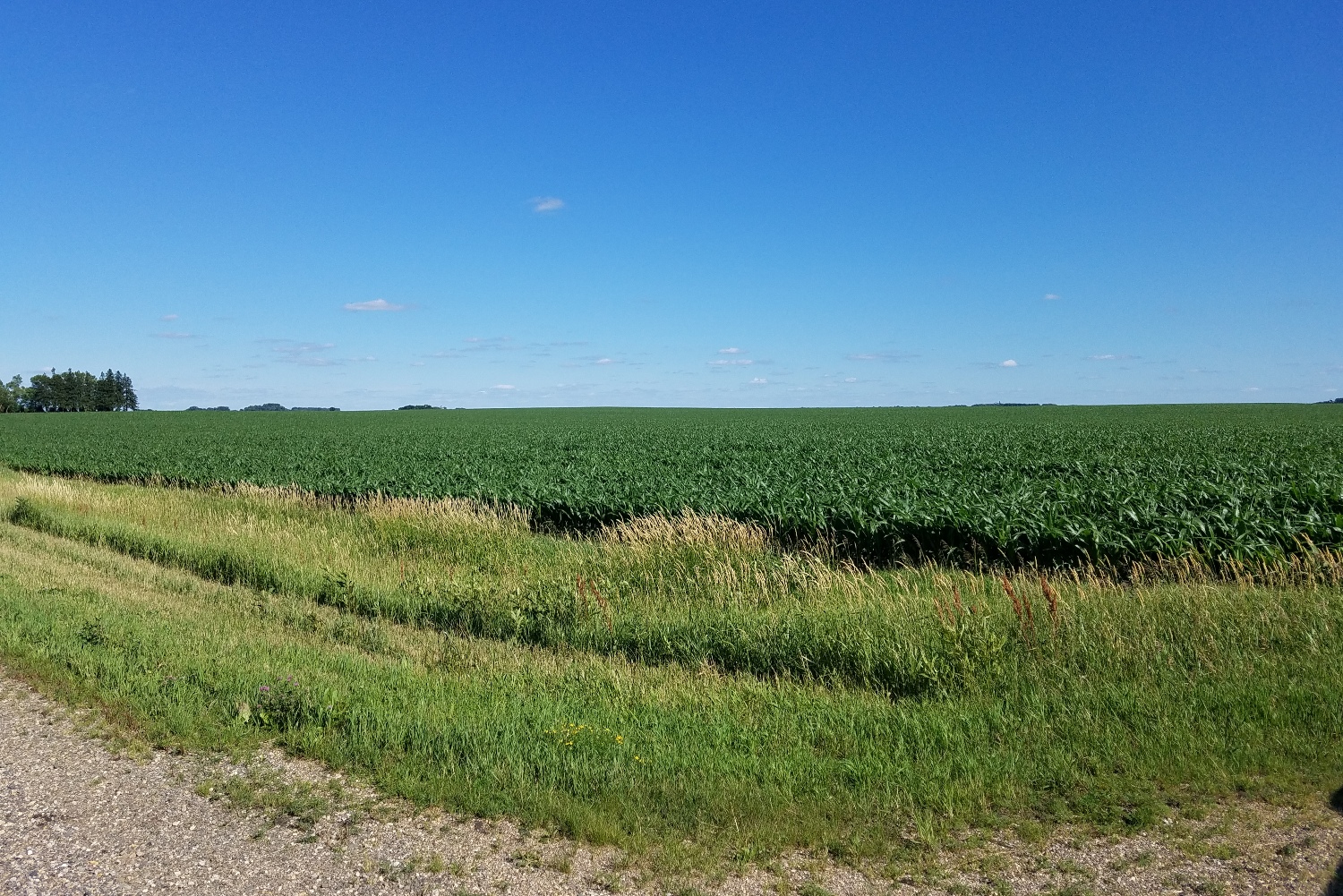
View Looking NW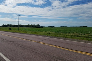 5X Larger Image 10X |
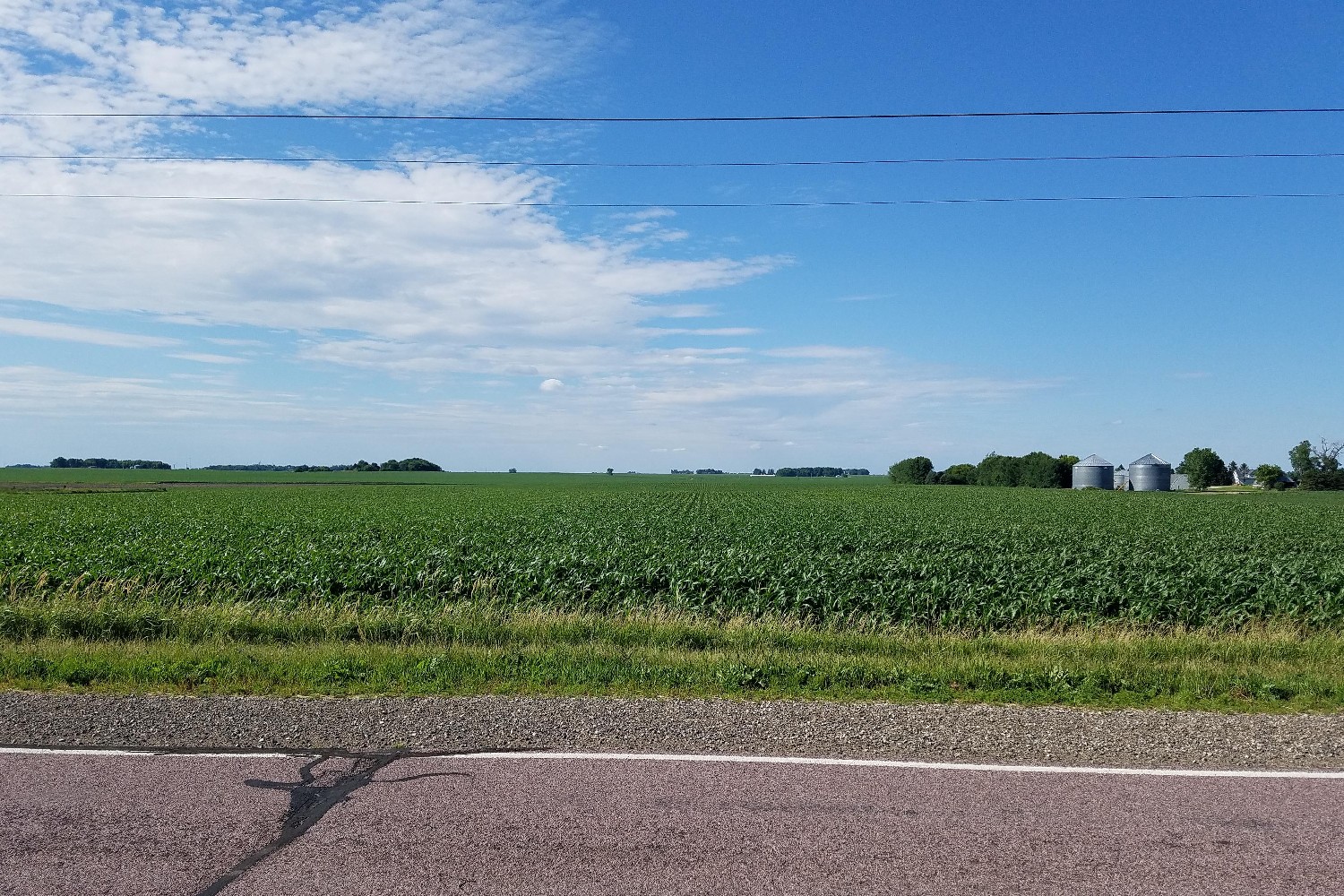
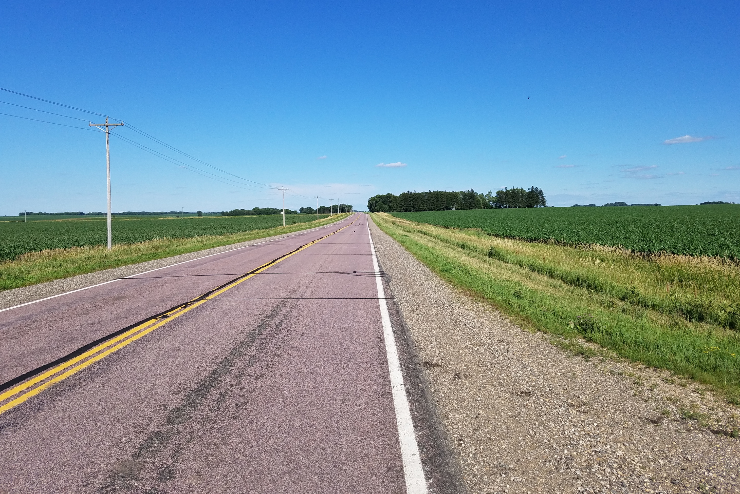
View Looking N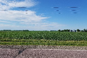 5X Larger Image 10X |
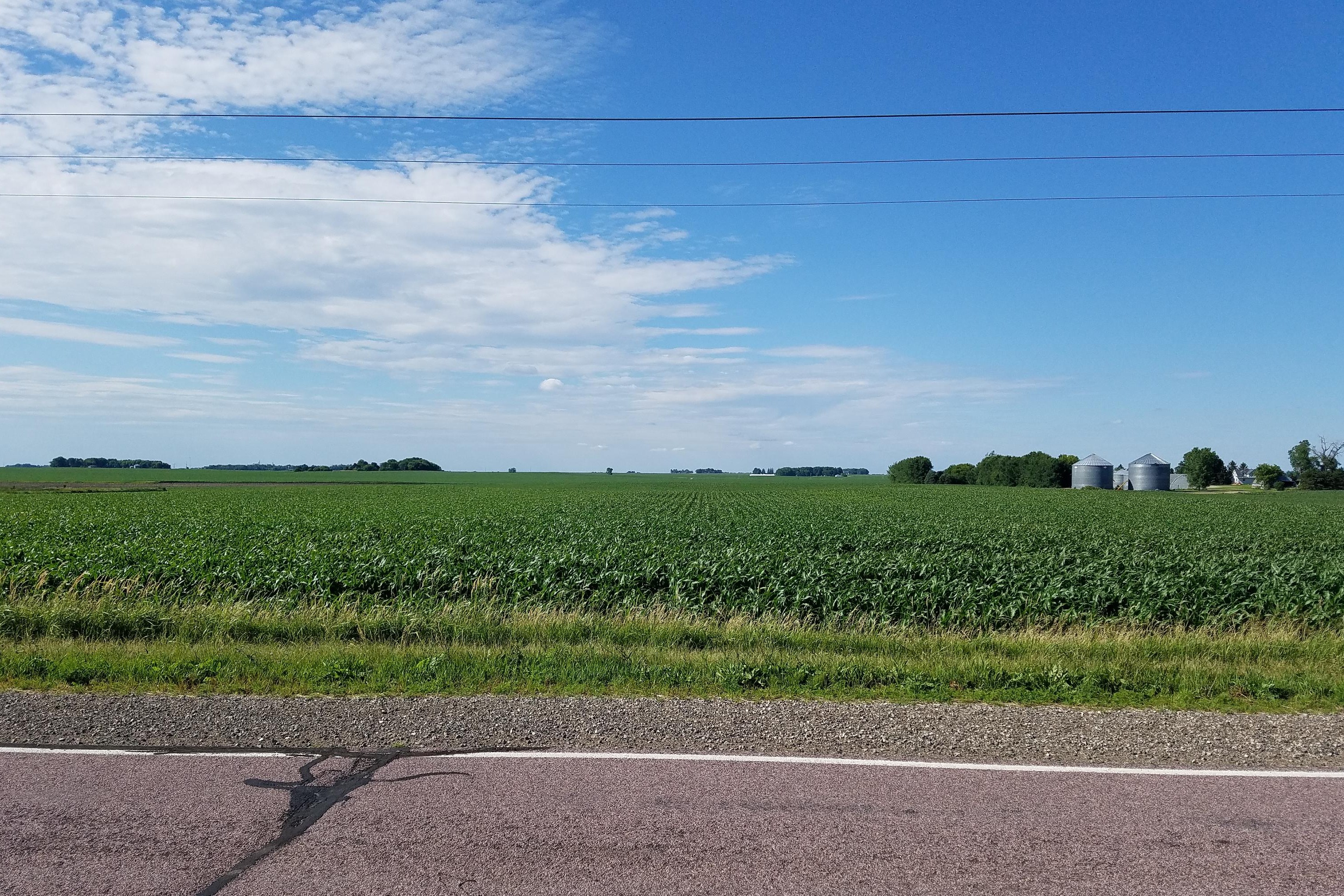
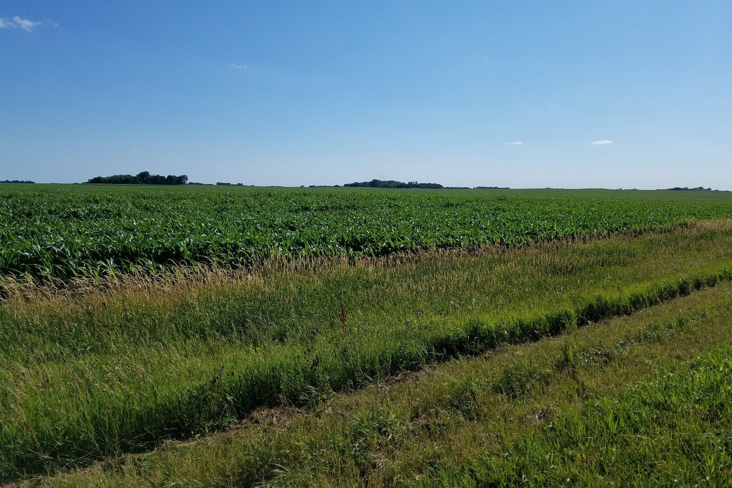
View Looking NE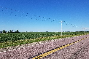 5X Larger Image 10X |
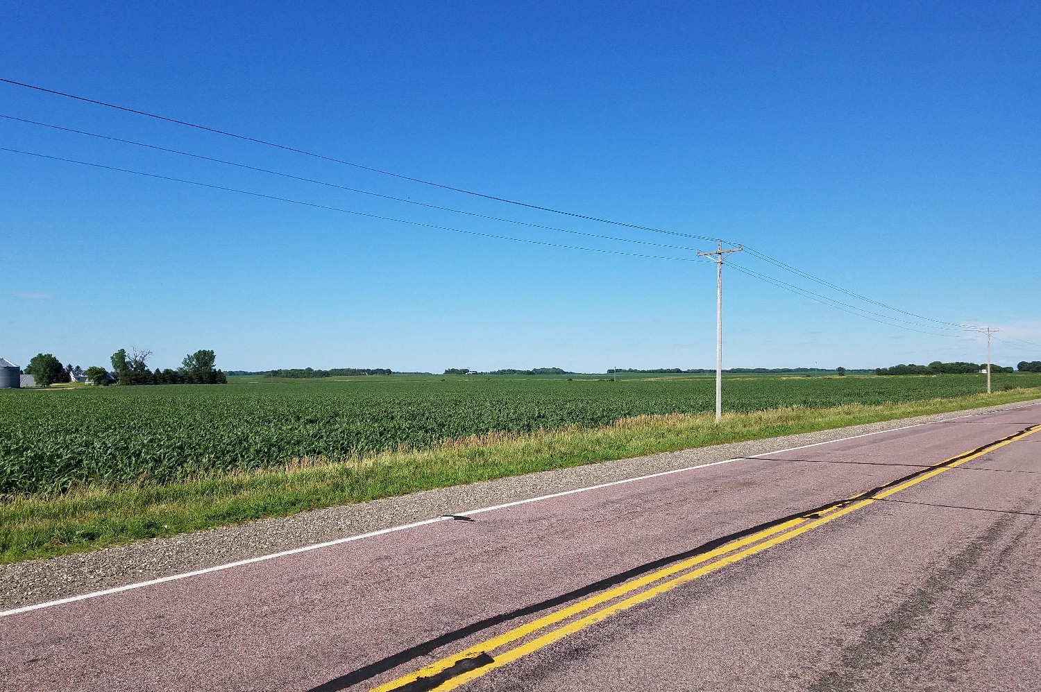
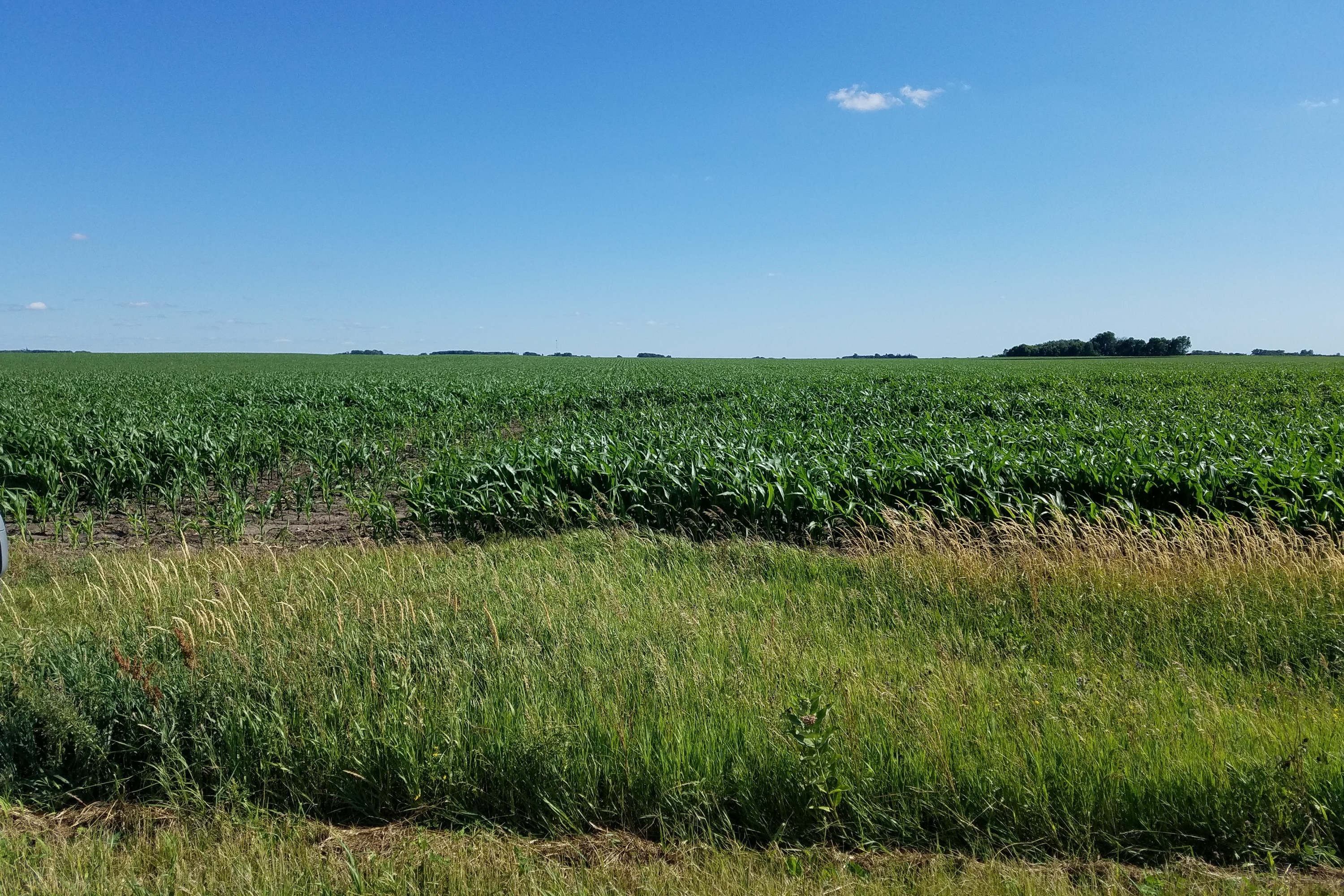
View Looking W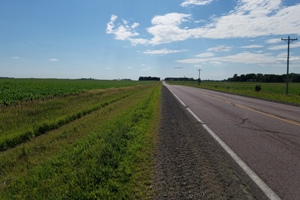 5X Larger Image 10X |
Aerial View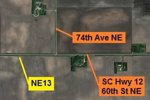 Google Map |
View Looking E 5X Larger Image 10X |
View Looking SW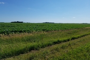 5X Larger Image 10X |
View Looking S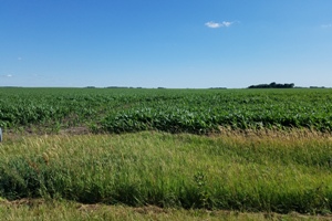 5X Larger Image 10X |
View Looking SE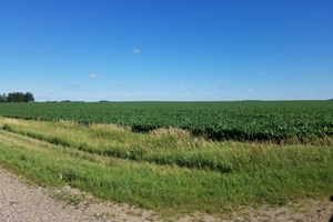 5X Larger Image 10X |
| Copyright 2019 - All Rights Reserved | Updated 01-Jul-2019 |