
| Location | Field Access on NE corner of Steele County Hwy 12 (69th St NE) and Steele County Hwy 77 (24th Ave NE) |
|
| Additional Notes |
Access is well graveled. Back into the location. |
44° 10’ 25” N / 93° 11’ 11” W 44.173810 / -93.186553 USNG: 15T VJ 85087 91194 |
| Exit Routes | North: Steele County Hwy 13 | East: Steele County Hwy 12 | South: Steele County Hwy 77 | West: Steele County Hwy 12 |
| Back to Map | Print pdf | |
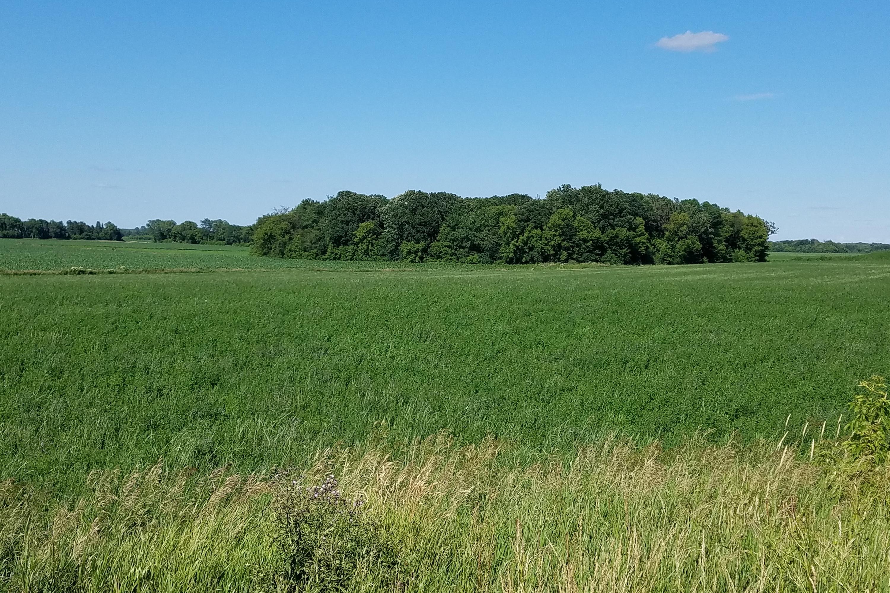
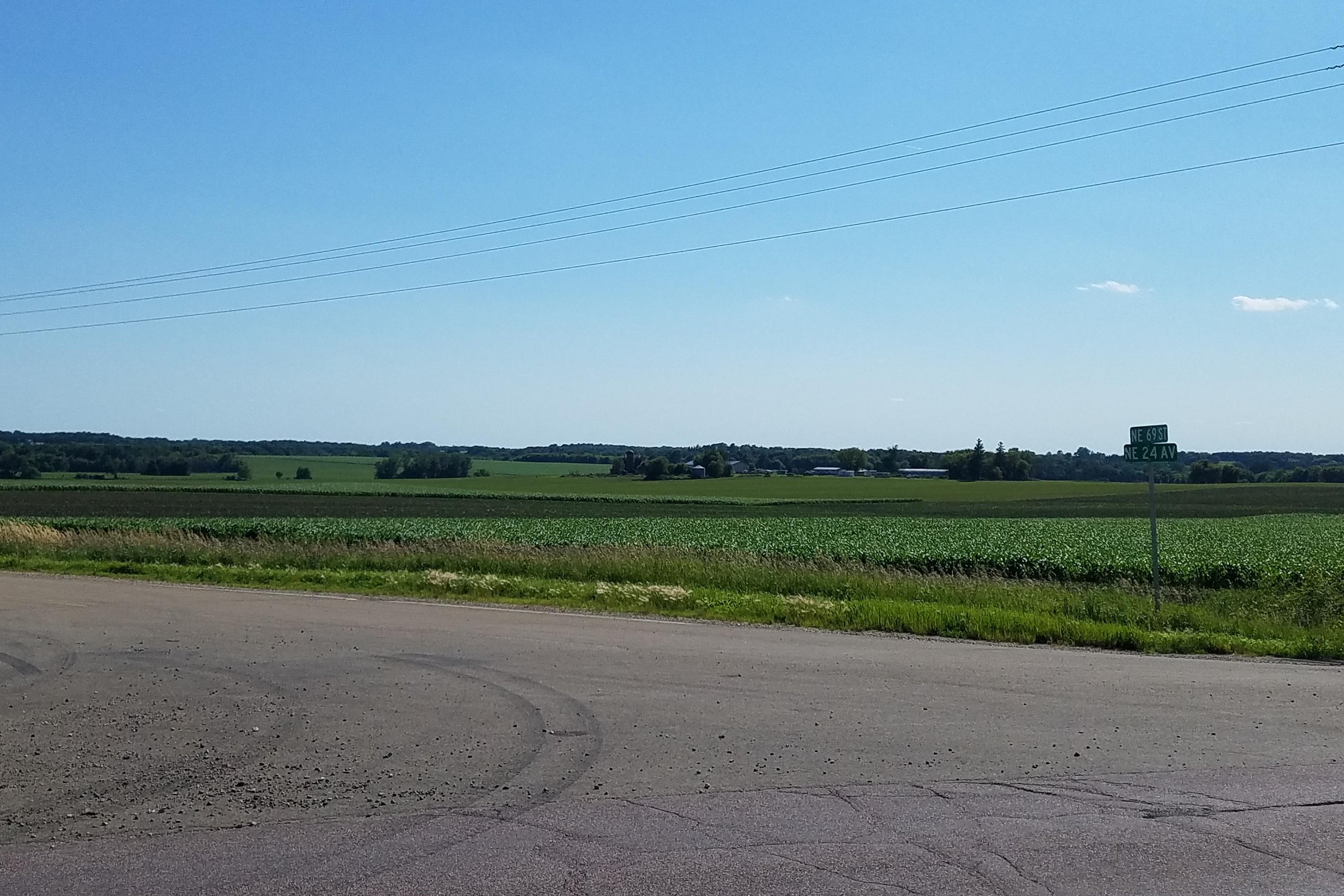
View Looking NW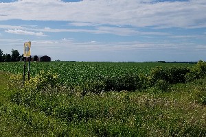 5X Larger Image 10X |
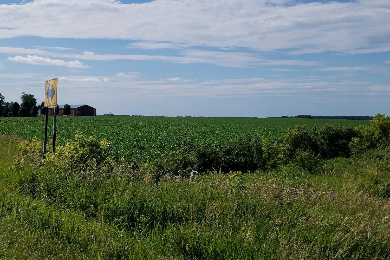
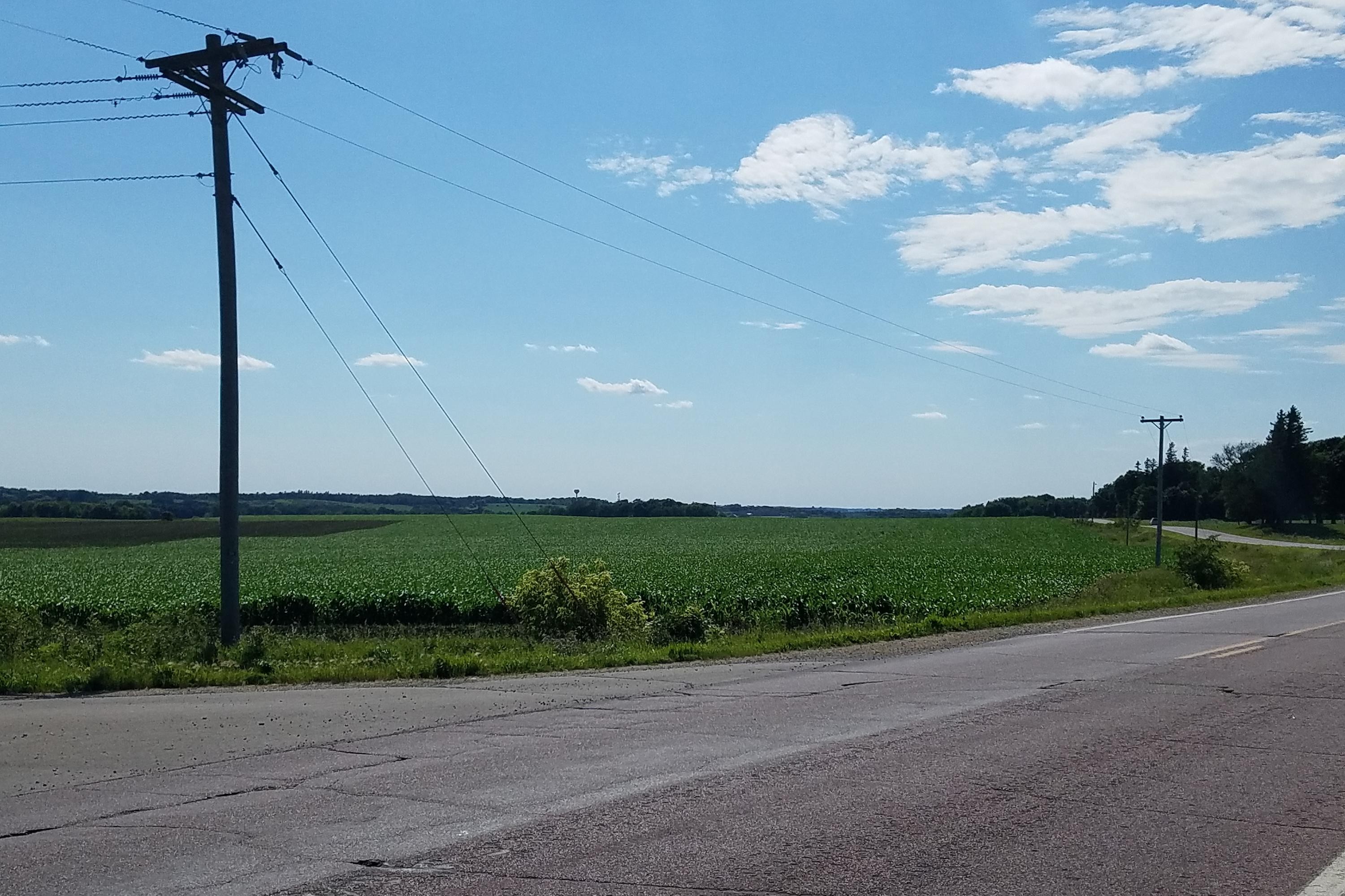
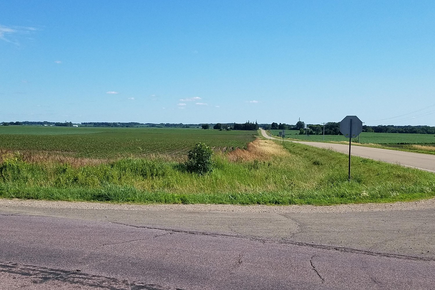
View Looking N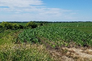 5X Larger Image 10X |
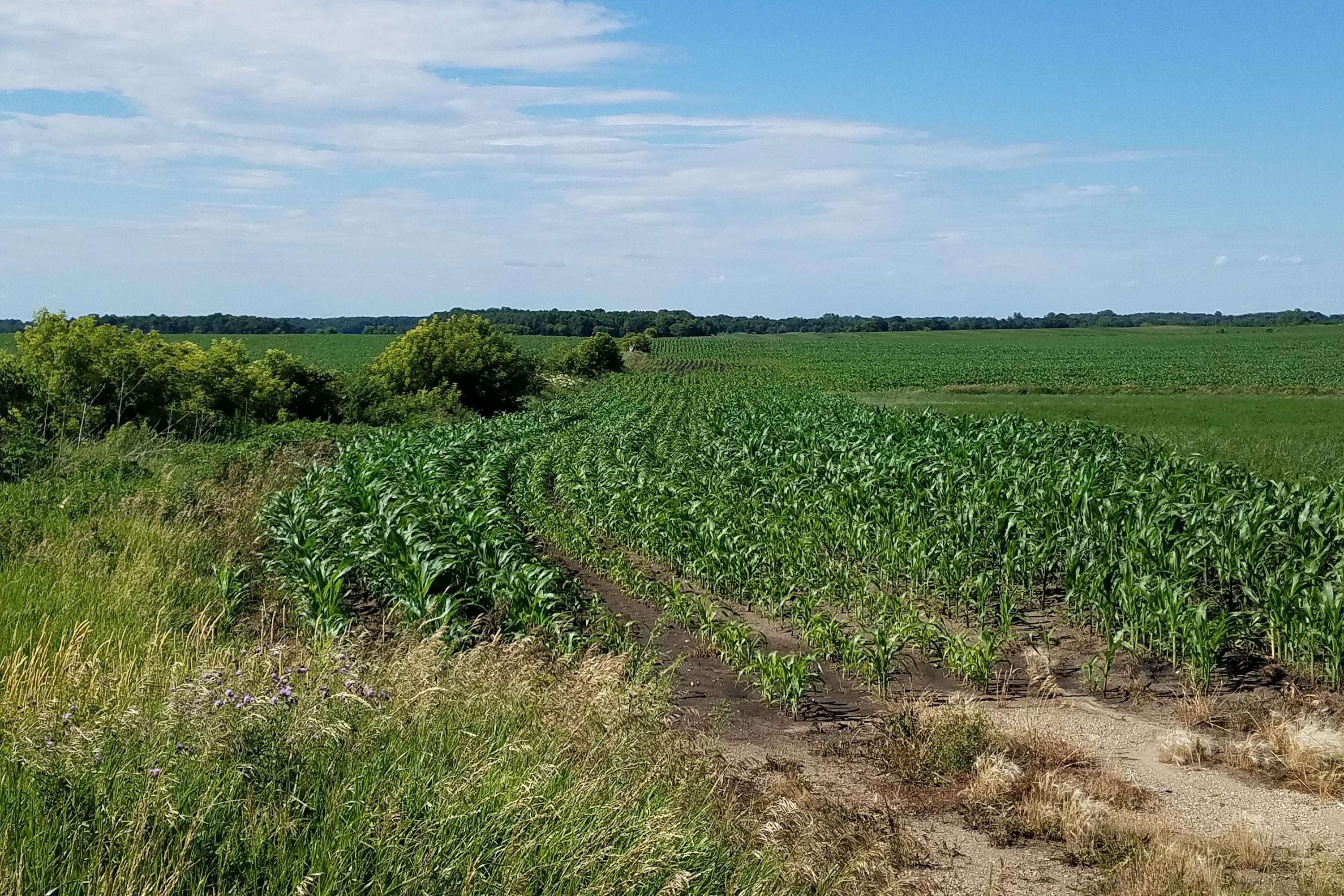
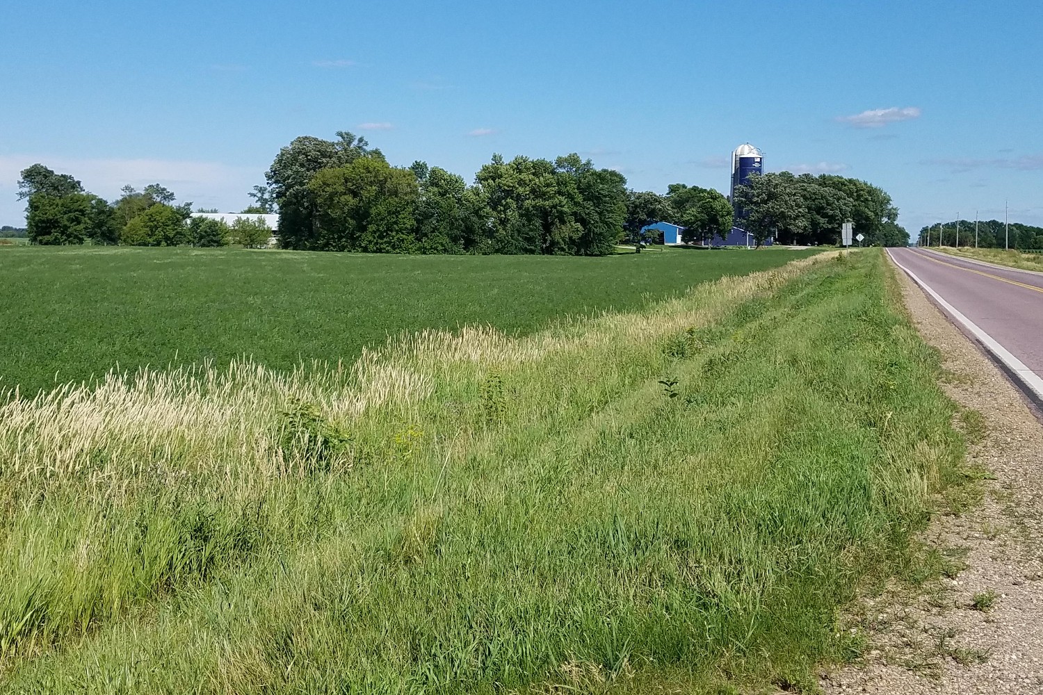
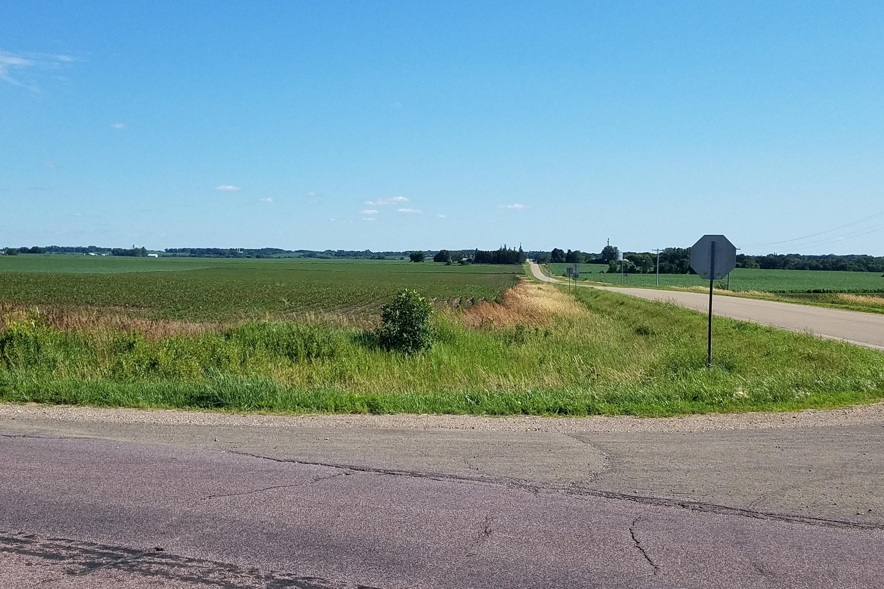
View Looking NE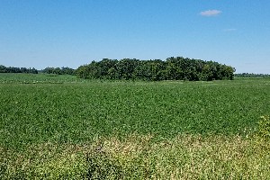 5X Larger Image 10X |
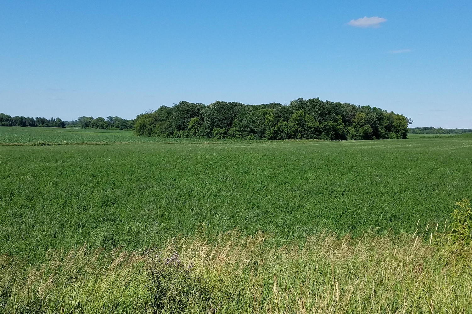
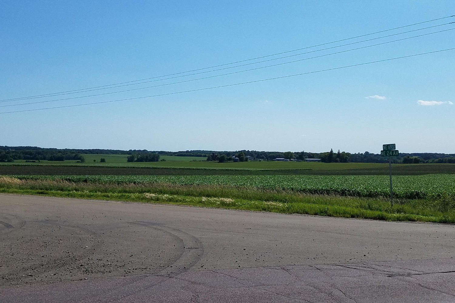
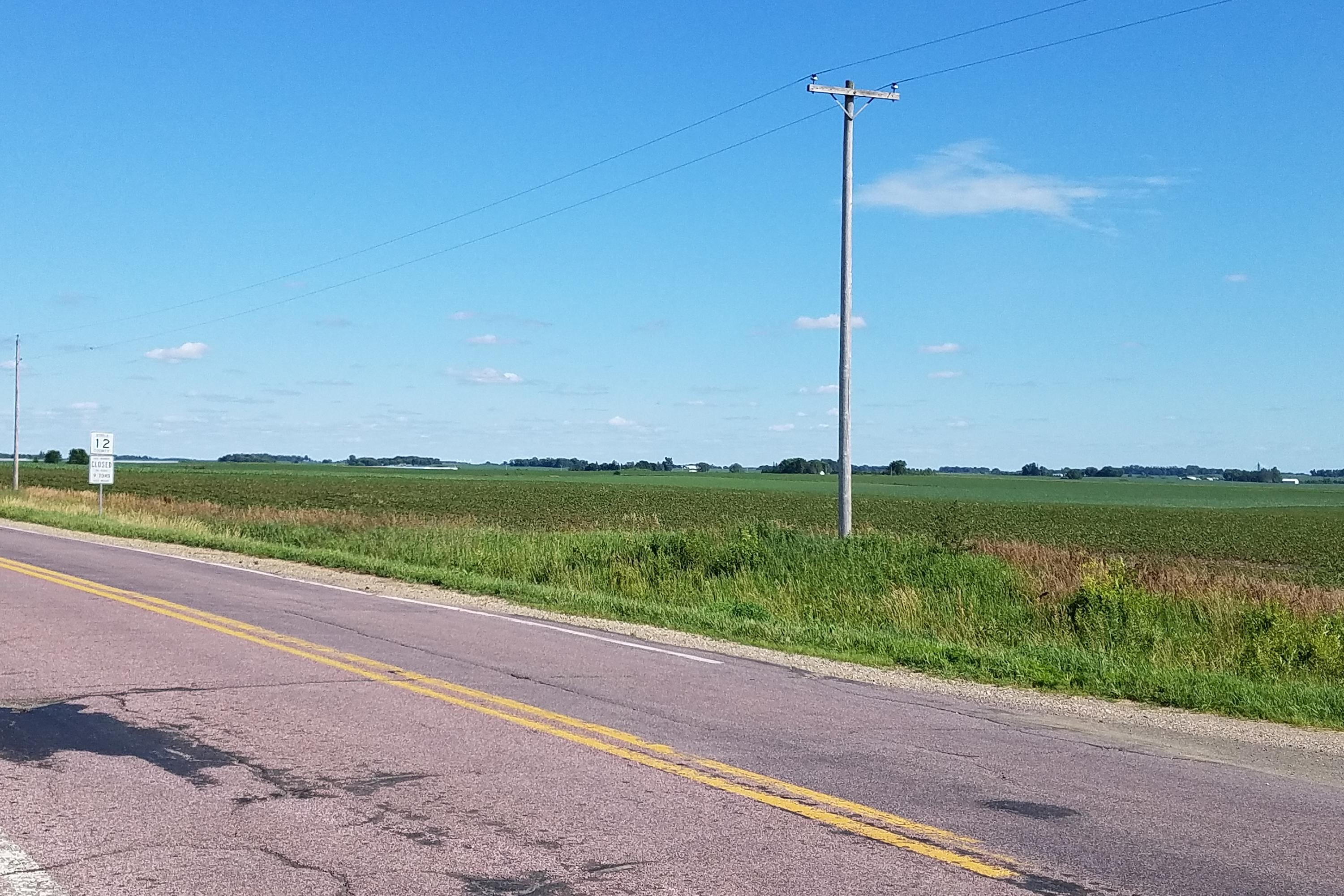
View Looking W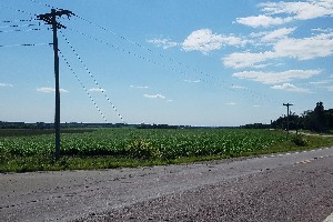 5X Larger Image 10X |
Aerial View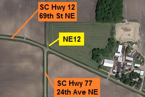 Google Map |
View Looking E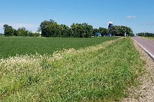 5X Larger Image 10X |
View Looking SW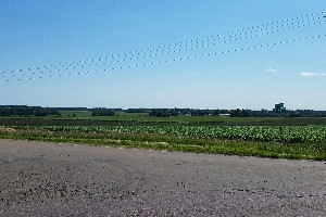 5X Larger Image 10X |
View Looking S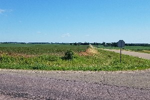 5X Larger Image 10X |
View Looking SE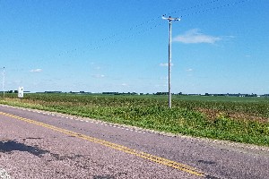 5X Larger Image 10X |
| Copyright 2019 - All Rights Reserved | Updated 01-Jul-2019 |